 Sonali Tiwary
If you’re planning mountain travel in the western US in early November, a round of snow is possible at elevation. NOAA’s Climate Prediction Center has flagged an elevated early-snow risk across the Cascade ranges and the Colorado Rockies for the November 1-7 window — while most of the northern US is actually expected to run warmer than normal for the month overall.
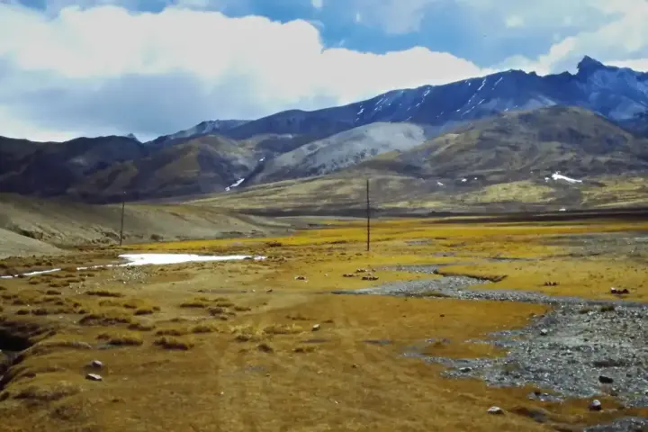
NOAA’s Climate Prediction Center issued its Days 8-14 outlook on October 24, flagging a slight risk of heavy snow in two western zones for November 1-7. The first follows the Cascade Range from the Canadian border through Washington and Oregon, extending into California’s Sierra Nevada. The second covers the Colorado Rockies, reaching east toward the Front Range near Denver. The broader November monthly forecast favors above-normal temperatures across much of the northern two-thirds of the country. That pattern is driven by a strong El Niño that NOAA projects will remain strong to very strong through at least January-March 2027. Drier-than-average conditions are expected across the northern Intermountain West and Northern Plains. Wetter-than-average conditions are favored across the southern US and parts of the East Coast.
If you’re driving mountain passes in Washington, Oregon, the Sierra Nevada, or the Colorado Front Range during the first week of November, prepare for possible snow at elevation. Road closures and chain requirements can apply quickly at high passes when early-season storms arrive before road crews have fully transitioned to winter protocols. The rest of the country — including the northern Great Plains and Midwest — is looking at a milder and drier early November under El Niño conditions.
What El Niño Means for November
El Niño, currently rated strong to very strong by NOAA, creates a recognizable pattern across the US in fall and winter. The southern jet stream strengthens, bringing more storm activity to the South and parts of the East Coast. The northern tier — from the Pacific Northwest through the Great Lakes — tends to see above-average temperatures and drier conditions overall, which is the opposite of what a La Niña winter typically produces.
For the Rockies, El Niño’s signal is mixed. Early-season mountain storms can still arrive despite a broadly warmer pattern, particularly in Colorado where the October 24 NOAA outlook specifically flags elevated snow risk for November 1-7. The Front Range corridor could see challenging travel conditions if early snowfall descends from higher terrain toward lower elevations.
The northern Intermountain West — covering parts of Montana, Wyoming, and Idaho — sits in a drier-than-average zone under this outlook, which tends to reduce early-season snowfall in those areas compared to average years.
Great Lakes states are also leaning drier than normal, which typically delays the build-up of lake-effect snow that usually develops through November.
NOAA explicitly notes that monthly temperature and precipitation outlooks describe probabilities, not guaranteed snowfall totals for specific states or cities. For driving and travel decisions, NOAA’s updated forecast maps and National Weather Service forecasts for specific mountain passes are the most reliable real-time sources. Colorado’s winter driving resources are worth checking before any mountain pass travel in early November.
Which states face the highest early-November snow risk according to NOAA’s October 24 outlook? Washington, Oregon, California’s Sierra Nevada, and Colorado’s Rockies and Front Range — all within the two western snow-risk zones identified for November 1-7. The broader northern US is expected to run warmer than average for the month as a whole.