 Sonali Tiwary
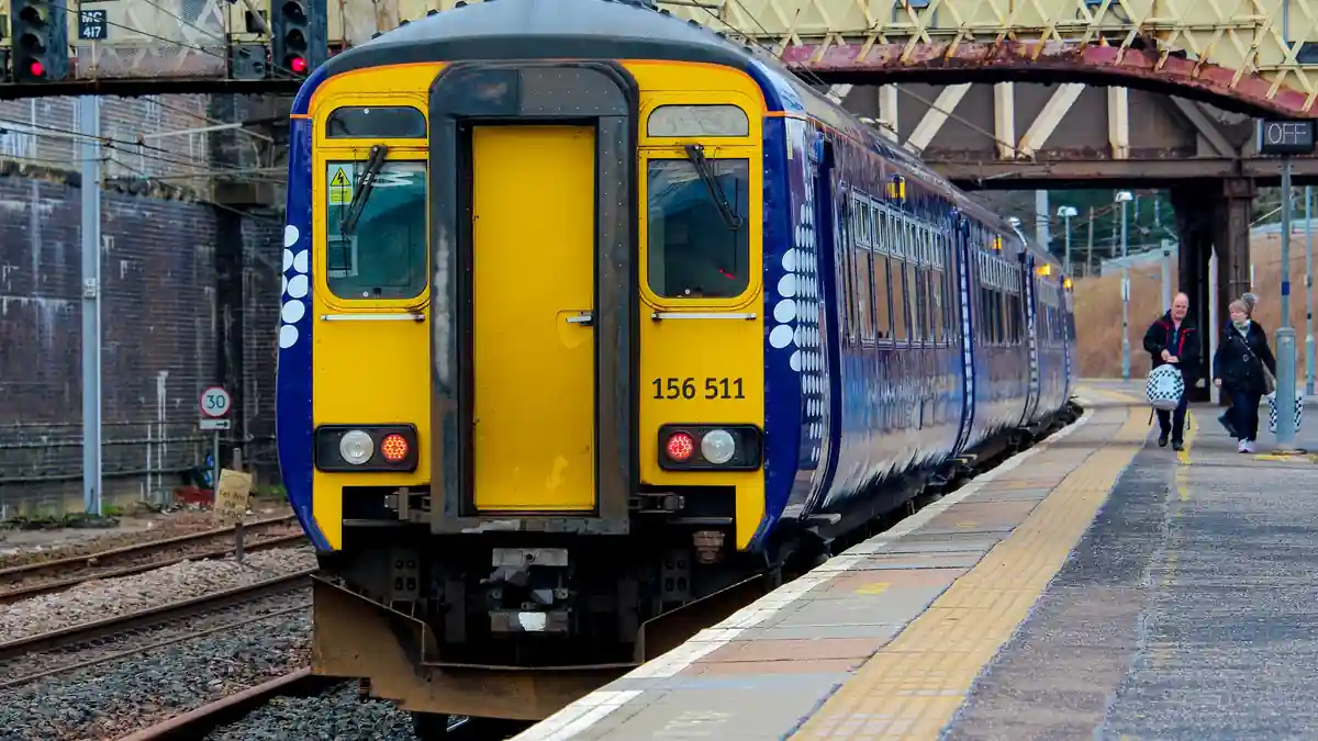
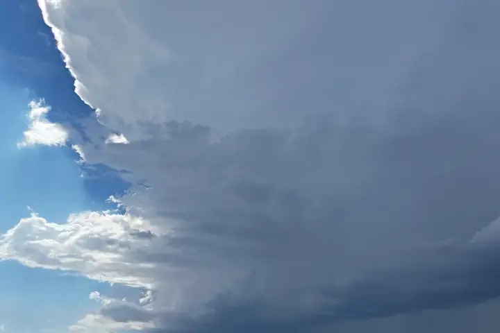
Storm Boelo hit Scotland and northern England on Saturday with gusts up to 80mph in exposed coastal areas, closing multiple Scottish rail routes and prompting Met Office amber warnings until 9pm Sunday. If you’re counting on Monday morning trains across the Oban, Mallaig, Kyle of Lochalsh, or Far North lines, the warning’s end time matters less than when each section has been physically inspected and cleared.
The Met Office named Storm Boelo on Thursday October 22, the second named storm of the 2026–27 Atlantic season after Storm Austen swept through earlier, bringing widespread disruption before weakening. Boelo brought amber warnings covering Scotland and parts of northern England from 9pm Saturday October 24 through 9pm Sunday October 25.
Forecast gusts reached up to 80mph in exposed coastal areas, with 60–70mph expected more widely across Scotland. Network Rail and ScotRail confirmed multiple line closures: the Kilwinning–Ardrossan/Ayr section from 9pm Saturday; the Crianlarich–Oban and Fort William–Mallaig lines from 10pm Saturday; and the Kyle of Lochalsh–Achnashellach section and the Far North Line between Wick/Thurso and Helmsdale from the first service on Sunday. Speed restrictions applied across the wider Scottish network from Saturday night.
Some outlets reported the storm’s name as “Boela”—the Met Office confirmed the correct spelling is “Boelo.”
Network Rail requires engineering teams to inspect closed lines before reopening them to trains, and those checks cannot begin until storm conditions ease. For the remote Highland and coastal routes, closures remain in effect until inspections are complete and the track is cleared. Passengers expecting services to resume as soon as the 9pm Sunday warning lifts should check ScotRail’s live disruption page before traveling on Monday—lines do not automatically reopen when a warning ends.
What this means for Monday travel
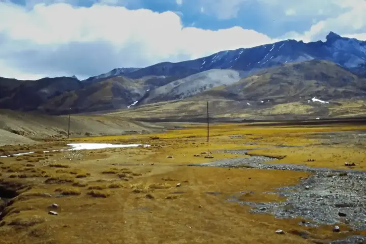
The Crianlarich–Oban, Fort William–Mallaig, Kyle of Lochalsh, and Far North Line routes run through remote Highland terrain where a single fallen tree or piece of storm debris can keep a section closed until engineers have walked it. The Kilwinning–Ardrossan/Ayr section covers the Ayrshire coast.
Amber is the second-highest Met Office warning tier. It means impacts are expected and travel disruption highly likely—above yellow, where conditions are possible but uncertain. Storm Austen, which preceded Boelo earlier in the week, was the season’s first named storm and brought disruption across Scotland and northern England before weakening. For help preparing for future weather disruptions, Karmactive’s UK emergency weather prep guide covers what to have ready at home.
Rail passengers on services via Edinburgh, Glasgow, and Inverness connecting to Highland routes should check ScotRail’s live disruption page early Monday morning before traveling. Road users on Highland A-roads, particularly the A82 (Glasgow–Inverness) and A9 (Perth–Inverness), should check Traffic Scotland for fallen tree and debris reports.
English and Welsh routes saw yellow weather warnings with travel disruption, but no line-level closures at the same scale as the Scottish routes.
The practical point here is timing. An amber warning ending at 9pm Sunday means weather conditions are expected to ease—it does not mean lines are clear. On remote routes like the Kyle of Lochalsh or Far North Line, inspections require teams to physically check the route before any train moves. Checking ScotRail’s disruption page on Monday morning gives a more accurate picture of service status than checking on Sunday night.
Storm Boelo’s amber warning expires at 9pm Sunday across Scotland and northern England. Rail passengers on Highland and Ayrshire coast routes should treat Monday morning services as unconfirmed until Network Rail publishes inspection results. ScotRail will update its disruption page as each section is cleared. Road users should check Traffic Scotland.