 Karmactive Staff
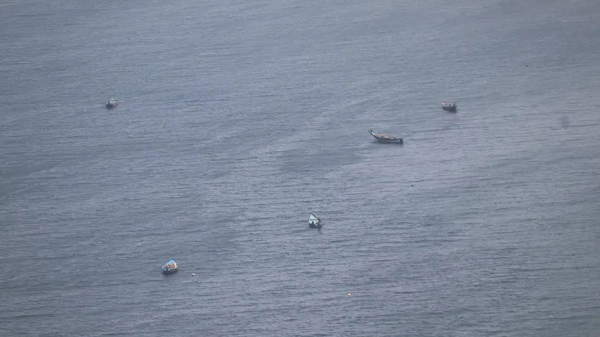
A low-pressure area has formed over the Bay of Bengal, and India’s Meteorological Department is tracking it for possible intensification. If you fish, work at ports or live on the Andhra Pradesh or Odisha coast, the current forecast window matters more than early speculation about where the system might go.
India’s Meteorological Department (IMD) placed a low-pressure area over the east-central and adjoining southeast Bay of Bengal on October 23, 2026. The IMD forecast projected intensification through a depression and deep depression phase, with a cyclonic storm possible depending on sea surface conditions and atmospheric dynamics. No confirmed landfall location or date had been established as of the October 23 bulletin. Bay of Bengal low pressure systems in this position during late October fall within the post-monsoon season’s active period for cyclone formation, a pattern similar to the Cyclone Montha landfall near Kakinada that triggered train disruptions across Andhra Pradesh.
Fishers and port workers along the Andhra Pradesh and Odisha coasts should not wait for a cyclone warning before acting on IMD advisories. Low-pressure systems generate dangerous sea conditions, gusty winds and heavy rain well before they reach cyclone intensity. Any IMD advisory to avoid open waters applies immediately, regardless of the system’s current classification. District disaster management authorities will issue further guidance as the system develops, building on the alerts already circulated during the September Bay of Bengal low-pressure rain alert.
The IMD classifies Bay of Bengal systems through a defined sequence: low-pressure area, depression, deep depression, cyclonic storm, severe cyclonic storm and above. Each level represents a threshold of sustained wind speed. A system identified as a low-pressure area has not yet organised enough to be classified as a depression.
Track predictions carry significant uncertainty at early development stages. The system’s position in the east-central and southeastern Bay means it has sea room to develop before any approach to the Indian coast. Whether it intensifies to a cyclonic storm, stalls or dissipates depends on sea surface temperatures, wind shear and atmospheric moisture—factors that change as the system evolves. The region has already seen one deep depression this season, with the Andhra Pradesh deep depression in September bringing heavy rain inland.
IMD cyclone forecast updates for developing systems are typically issued every six hours, with additional special bulletins when intensity or track changes significantly. State alerts from Andhra Pradesh and Odisha follow IMD’s guidance directly, echoing the coastal alert procedures covered in an earlier Bay of Bengal weather system coastal alert.
Is the Bay of Bengal system already a cyclone? No. IMD’s October 23 bulletin described it as a low-pressure area with potential for intensification. Whether it becomes a depression, deep depression or cyclonic storm depends on how it develops over the next 24 to 72 hours. Checking IMD’s current bulletin, rather than earlier reports, gives the accurate classification.
The IMD forecast will update as this Bay of Bengal system develops. Coastal residents in Andhra Pradesh and Odisha should follow local emergency management guidance and check IMD’s official bulletin for current intensity and track information. Check back as the forecast develops.