Karmactive Staff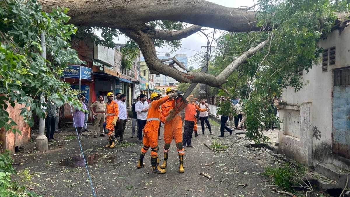
Coastal districts of Andhra Pradesh recorded heavy rainfall on September 24 after a deep depression made landfall near Kalingapatnam late the previous night.
The India Meteorological Department (IMD) recorded the system crossing the Andhra Pradesh coast in the Kalingapatnam area between the late hours of September 23 and the early hours of September 24. The system was moving northwest at the time of landfall and has been weakening as it moves inland. As of Thursday morning, IMD placed the system over north coastal Andhra Pradesh and adjoining south Odisha.
Passengers travelling to or from Vijayawada and Rajahmundry should check with their airline before travelling to either airport because flight schedules can change during severe weather. For the latest on how the same system is affecting Odisha, including the IMD red alert for Odisha districts, see the separate coverage.
What the Deep Depression Means for AP Districts
Under IMD's classification, a deep depression has maximum sustained winds of 52–61 km/h. It brings heavy to very heavy rainfall across a band of territory either side of its track.
The districts of north coastal Andhra Pradesh — particularly those in the Kalingapatnam area and further along the coast toward Srikakulam and Visakhapatnam — face the most concentrated rainfall impact in the 24 hours following landfall. Inland districts can also receive significant rain as the system tracks through.
River levels in affected districts are a key risk factor. Low-lying areas near rivers and streams face the highest flooding risk. The Andhra Pradesh State Disaster Management Authority is coordinating response and residents in affected areas should follow any evacuation or shelter instructions issued for their district.
IMD forecasts the system will continue to weaken progressively as it moves inland. The rain impact on Andhra Pradesh should reduce over the next 24–48 hours. Check back for updates on system movement and any further airport disruptions.