Karmactive Staff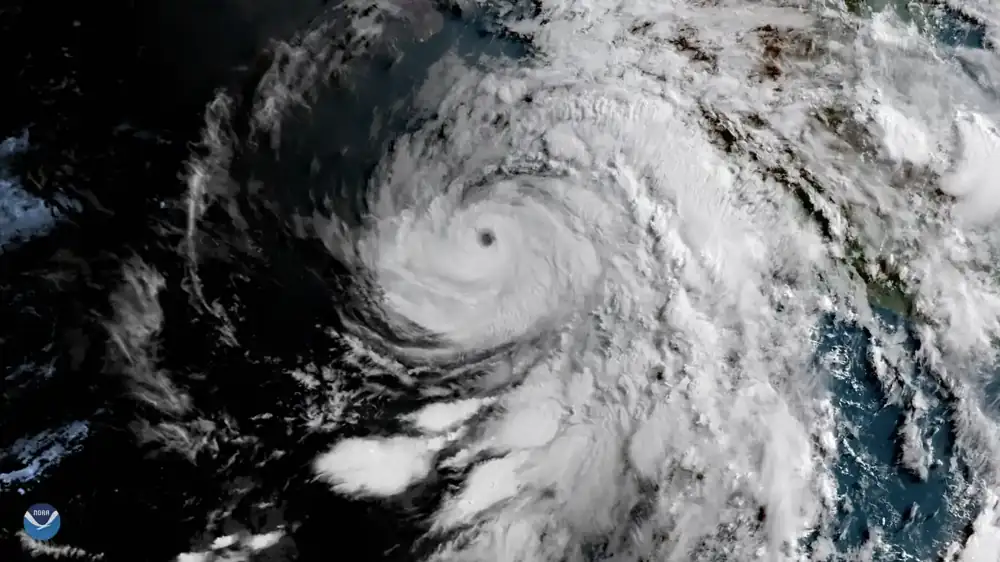
September rain alerts across north, east and central India are again being linked to systems over and around the Bay of Bengal. IMD bulletins in early September discussed heavy rain over Odisha, Jharkhand, Bihar, East Uttar Pradesh, Chhattisgarh and Madhya Pradesh, while local reports are now tracking Delhi, UP, Bihar and Chhattisgarh warnings.
The important point is that a low-pressure area is not a single-city forecast. It can move moisture across states and change local risk by district. A headline about “rain returning” may mean very different conditions for a Delhi commuter, a Bihar farmer or a Chhattisgarh road user.
The official reference should remain the India Meteorological Department and its district-wise warnings. Alert colour, validity period and district coverage can change quickly, especially when thunderstorms and heavy showers are involved.
For farmers, the timing affects field work, standing crops and transport of produce. For cities, the same forecast can mean traffic delays, underpass waterlogging and power or tree-fall complaints. For rural areas, lightning risk should not be ignored during thunderstorm activity.
IMD’s district-wise warning page is more useful than a generic viral weather map because it separates alerts by region and date.
The article covered the September rain-alert pattern, the Bay of Bengal system link, and why residents should follow IMD district warnings rather than broad social-media forecasts.
Related Karmactive context includes this earlier report, this linked update.