Karmactive Staff
India’s weather systems continue to intensify across northern and eastern regions on July 26, 2026. The India Meteorological Department issued widespread alerts for heavy rainfall, thunderstorms, lightning, and strong winds across multiple states, signaling dangerous conditions for residents and travelers.
The southwestern monsoon remains highly active over North India, creating the foundation for severe weather. This active monsoon pattern, combined with other atmospheric conditions, is producing thunderstorms and gusty winds over a large geographic area. Forecasts indicate these conditions will persist through the next 24 hours. Wind conditions pose an additional hazard—meteorological forecasters predict gusty winds ranging from 40 to 60 kilometers per hour across parts of North India.
Delhi is among the cities expecting significant rainfall and thunderstorm activity. Residents of the capital city should prepare for heavy downpours and lightning strikes. Similar weather alert conditions are expected in Uttar Pradesh, Bihar, Himachal Pradesh, and Uttarakhand. Punjab, Haryana, Chandigarh, Rajasthan, Jammu and Kashmir, and Ladakh are also under monsoon alert status. International News and Views documented the IMD’s forecast details across all affected regions.
Odisha faces particularly severe conditions. The state is under a red alert for multiple districts including Cuttack, Jagatsinghpur, Kendrapara, Bhadrak, Jajpur, and Keonjhar. Red alert designation means extremely heavy to very heavy rainfall is expected. The combination of heavy rainfall and hilly terrain creates significant risk of landslides and flash floods in vulnerable areas.
Himachal Pradesh and Uttarakhand are similarly threatened. These mountainous states face heightened danger for communities in valleys and slopes when heavy rainfall occurs. The forecast indicates heavy to very heavy rainfall in several districts of these states, creating danger for remote communities with limited emergency access.
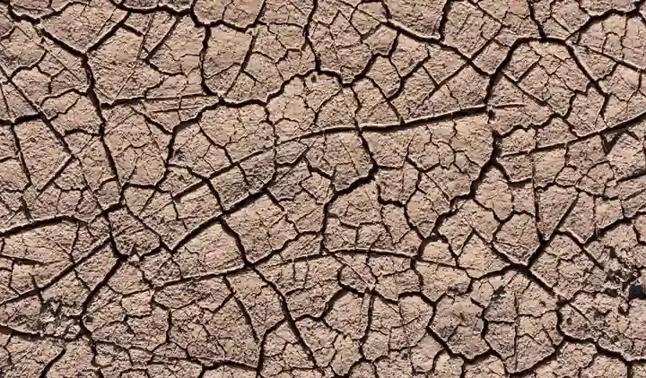
This erratic monsoon pattern reflects broader climate changes affecting India’s weather systems. June 2026 recorded nearly 40 percent below normal rainfall, making it one of the driest Junes in more than a decade and the fifth driest since India began keeping records in 1901. The contrast between June’s drought conditions and July’s extreme rainfall demonstrates the increasing variability in monsoon patterns. Down To Earth analyzed how El Niño shadow conditions are affecting the 2026 monsoon system’s behaviour.
The 2026 monsoon arrives under the influence of El Niño conditions, affecting atmospheric circulation patterns. El Niño influence modulates monsoon onset timing and intensity, demonstrating how Indian weather connects to oceanic patterns thousands of kilometers away. In 2025, nearly 45 percent of India’s landmass experienced extreme rainfall, highlighting how monsoon patterns are shifting due to climate change.
Authorities have advised residents and travelers to exercise maximum caution. The primary risks include transportation disruptions from waterlogging, rising river and stream levels, and the possibility of landslides in hilly regions. Those in hilly areas should be especially vigilant about landslide warnings. Residents in alert areas are urged to stay updated on official climate and weather advisories and follow directives from local authorities. Meteorologists warn that this pattern may persist for several more days, with additional extreme rainfall possible in some areas before the situation stabilizes.