Wisconsin September Heat Surge: Upper 80s, Mid-90s Heat Index, Thunderstorm Chances

September 3, 2026
1 min read
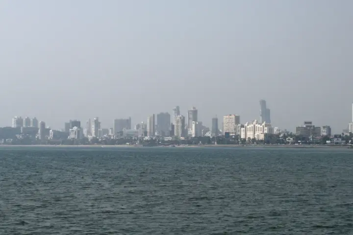
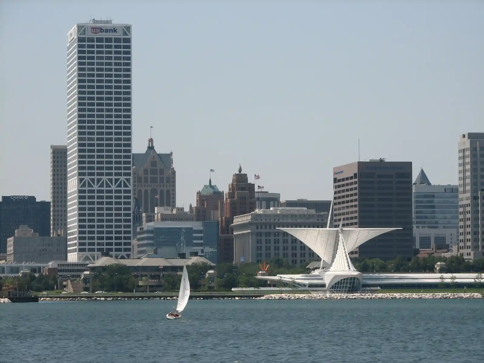
Distant view of the Milwaukee, Wisconsin skyline under hot summer daylight across the water.
Downtown Milwaukee and Lake Michigan experience late-summer heat as high atmospheric dew points elevate heat index readings near 100°F. Elevated moisture levels prevent efficient evaporative cooling, placing urban populations and power grids under measurable thermal strain. (Photo: Miwdke / Wikimedia Commons / CC BY 2.0)

Temperatures climbed into the upper 80s across Southeast Wisconsin on Wednesday, creating unusual early-September warmth that felt even hotter when humidity was factored in. The National Weather Service recorded heat-index values reaching the mid-90s in parts of the region, meaning the combination of temperature and moisture made conditions feel substantially warmer than the actual thermometer reading.

Understanding the difference between temperature and heat index helps residents plan their day appropriately. Temperature is the actual air temperature measured by a thermometer. Heat index is how hot it actually feels when humidity is factored in. High humidity traps heat near the ground, making it harder for sweat—the body's primary cooling mechanism—to evaporate. As humidity rises, the gap between actual temperature and heat index widens. An 88-degree day with high humidity can feel like 95 degrees or more.

Southeast Wisconsin's combination of upper-80s temperatures and elevated humidity created conditions requiring caution for extended outdoor activity. The region also faces thunderstorm chances in scattered locations, a development when warm, moist air moves over land during late summer. Thunderstorms can develop rapidly under these atmospheric conditions.

Forecasters expected the warmth to gradually moderate over the coming days as a front moved through the region, bringing cooler, drier air behind it.

Residents spending extended time outdoors should stay hydrated and drink water regularly. Light-colored, loose-fitting clothing helps reflect heat.

For those tracking the forecast, conditions improve noticeably by Thursday, with even more comfortable conditions expected by the weekend.

Sonali Tiwary

Sonali Tiwary is an aviation technology writer and aeronautical engineer who brings her technical expertise to Karmactive.com's coverage of the aerospace industry. With engineering studies completed through The Aeronautical Society of India, she specializes in breaking down complex aviation innovations, emerging mobility technologies, and the latest developments in sustainable aviation. Sonali's passion for flight technology drives her to explore and explain how cutting-edge aerospace solutions are shaping the future of air transportation, making the fascinating world of aviation accessible to all readers.
Leave a Reply

Your email address will not be published.

Fireworks illuminating the Brisbane River reach, bridges, and surrounding city buildings at dusk.
Previous Story

Riverfire 2026 Is Saturday: 450,000 Expected but No Ferries — Free Bus and Train Routes Confirmed

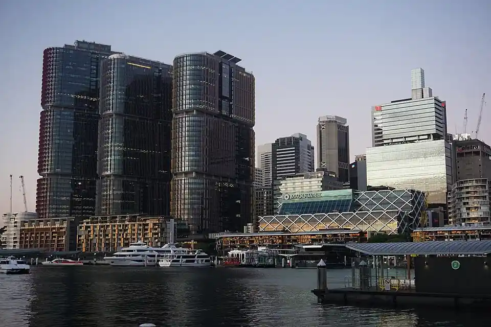
Exterior view of modern commercial office towers in Barangaroo, Sydney, housing major corporate professional firms.
Next Story

KPMG’s Former COO Sues Firm in NSW Court Over Expulsion as ASIC Opens Audit Investigations

Latest from News

Satellite view of Hurricane Lowell’s spiral cloud bands over the Pacific Ocean.

Hurricane Lowell Nears Hawaii Storm Path

Hurricane Lowell is moving toward the Hawaiian Islands. As of September 5, Lowell remained a major hurricane, while forecasters expected it to weaken before its closest approach to Hawaii. Forecasters with the

Don't Miss