 Rahul Somvanshi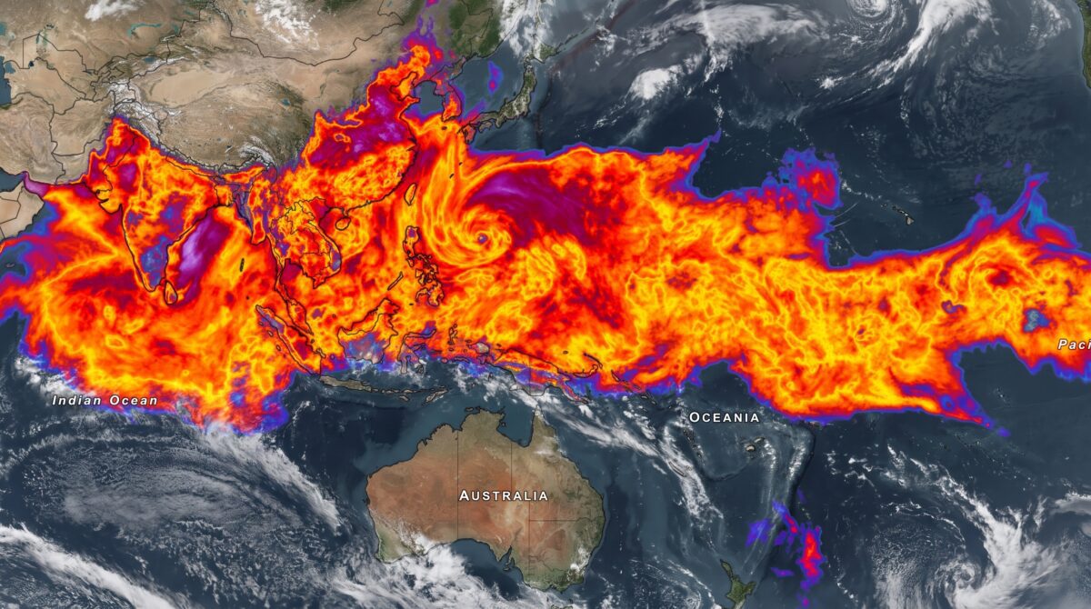
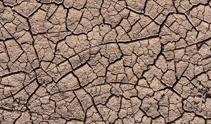
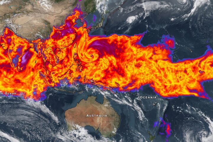
A potentially powerful El Niño is developing in the tropical Pacific, and meteorologists are watching its impact on India’s monsoon with growing concern. Despite widespread cloud cover across India right now, the warning signs of what some climate scientists are calling a “Godzilla El Niño” are prompting drought alerts across the country.
El Niño is a periodic warming of surface waters in the central and eastern tropical Pacific Ocean. When that warming occurs, it shifts global atmospheric circulation patterns. India’s southwest monsoon — one of the most moisture-dependent seasonal systems on Earth — is among the first to feel the effect. When El Niño strengthens, the monsoon winds that carry rain across the Indian subcontinent tend to weaken. That weakening translates directly into below-normal rainfall.
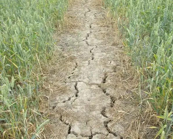
Historical records show a clear pattern. During strong El Niño years, India has recorded rainfall deficits of 10 to 20 percent below the long-period average. The events of 1982–83, 2002–03, and most significantly 2015–16 were all associated with poor monsoon performance. The 2015 season brought the worst drought in over a decade to Maharashtra, Karnataka, Andhra Pradesh, and Telangana.
The phrase “Godzilla El Niño” refers to events where sea surface temperature anomalies in the tropical Pacific’s key monitoring zone — known as Niño 3.4 — exceed roughly two degrees Celsius above normal. The World Meteorological Organization confirmed that 2023 was the warmest year on record, partly due to El Niño’s combined effect with long-term global warming. A return to similarly intense El Niño conditions raises the probability of monsoon disruption significantly.
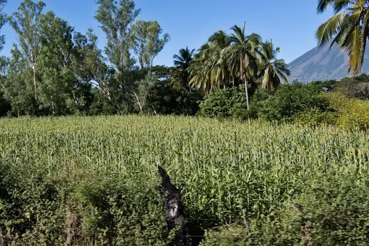
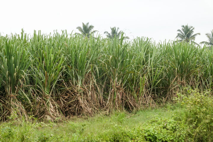
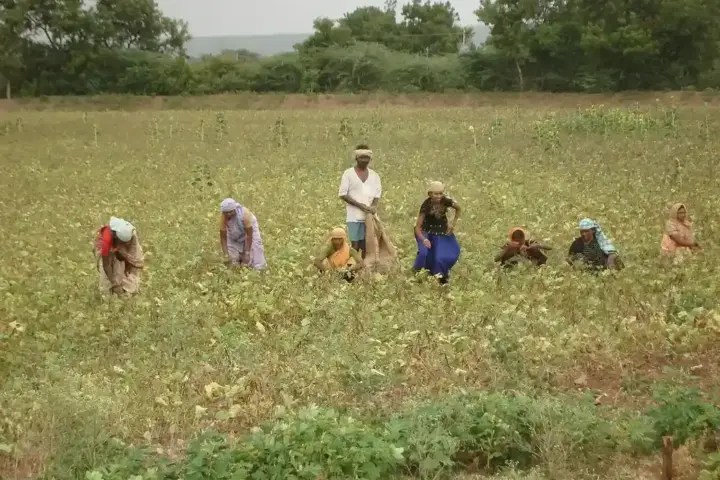
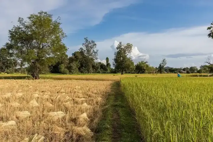
Agriculture is where this hits hardest. India grows rice, wheat, sugarcane, pulses, and oilseeds across a farming calendar built around the monsoon. Late or inadequate monsoon rains delay sowing, compress growing windows, and reduce yields. Food prices in wholesale markets can start responding within weeks of a forecast shift. Farmers in rain-dependent districts — particularly across Madhya Pradesh, Rajasthan, and the Deccan plateau — face this pressure most directly.
Groundwater reserves, which millions across India depend on for drinking and irrigation, also reflect El Niño’s impact. Below-normal monsoon rainfall reduces aquifer recharge. In regions already classified as overexploited by the Central Ground Water Board, a single weak monsoon can set communities back several years in water availability.
The apparent contradiction — clouds covering India while drought alerts circulate — reflects a key fact about El Niño. Its suppressive effect on the monsoon is not instant. It works by gradually weakening the pressure differential between the Indian Ocean and the Pacific that drives monsoon winds. Current cloud cover reflects the monsoon’s existing momentum. The concern is what happens if El Niño intensifies through August and September, when monsoon performance determines whether annual rainfall totals are adequate.
The WMO publishes regular ENSO outlooks that governments, water utilities, and agricultural agencies use for seasonal planning. Staying connected to those updates is one of the most direct things institutions and farming communities can act on when an El Niño cycle gains strength.