 Rahul Somvanshi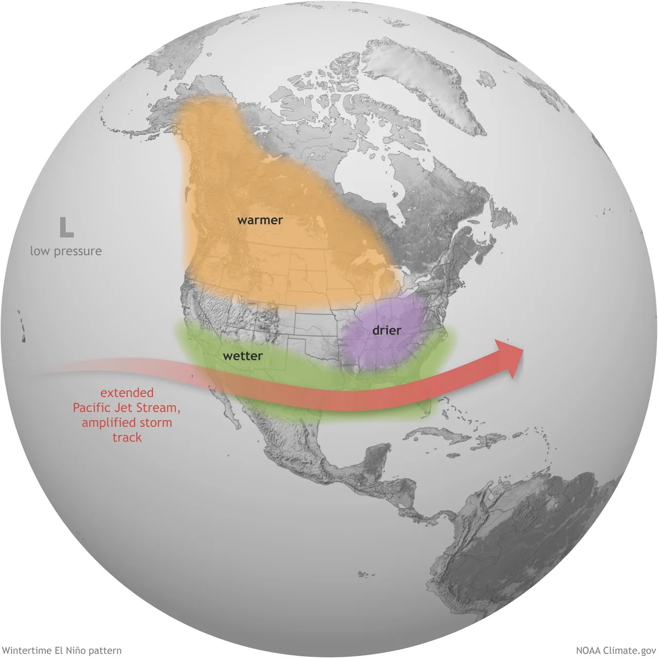
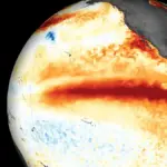
Beneath the surface of the tropical Pacific Ocean, something massive is building. Scientists are watching subsurface temperatures climb toward levels not seen since records began in the 1870s. By winter, the developing Super El Niño could reshape weather patterns across North America and set new global temperature records.
El Niño begins with warm ocean water. Normally, trade winds push warm water westward across the Pacific. During El Niño, those winds weaken. Warm water spreads eastward. The ocean releases stored heat into the atmosphere. Global weather patterns shift.
A “Super El Niño” isn’t just El Niño—it’s an extreme version. When sea surface temperature anomalies exceed 2.0 degrees Celsius above average in the Niño 3.4 region (the Pacific’s central monitoring zone), the designation applies. The 2026 event is tracking faster and stronger than the legendary 1997 and 2015 Super El Niños.
The mechanism driving 2026’s rapid intensification is an oceanic Kelvin wave—a subsurface pulse of warm water moving eastward beneath the Pacific surface. This wave carries heat that, once it reaches the surface, becomes visible to satellite instruments and meteorological models. Multiple forecasting centers—NOAA’s CFSv2 model in the US, the European ECMWF, and Australia’s Bureau of Meteorology—all agree: peak intensity is coming in late fall 2026 or early winter 2027, possibly exceeding any Super El Niño in recorded history.
NOAA’s Climate Prediction Center upgraded its alert status from “El Niño Watch” to “El Niño Advisory” on June 11, citing 96% confidence that conditions will persist through Northern Hemisphere winter and 81% probability of reaching “very strong” intensity by October through December.
What does this mean for you?
Four US states face above-average snow this winter: California’s Sierra Nevada, New York, Vermont, and New Hampshire. But El Niño’s footprint is wider. The southern United States—the Gulf Coast and Southeast through the Mid-Atlantic—should expect above-normal precipitation and a stormier, wetter winter overall.
Northern states typically see warmer-than-average temperatures during strong El Niños. That mirrors the 1997–98 Super El Niño, which brought the second warmest and seventh wettest winter since records began in 1895 across the US.
The global temperature picture matters too. Strong El Niño events release enough ocean heat to temporarily boost global mean surface temperature by 0.2 to 0.3 degrees Celsius above the underlying warming trend. Climate scientists have predicted 2026 and 2027 will likely set new global temperature records, driven largely by El Niño’s release of stored ocean energy.
The Atlantic hurricane season gets suppressed during strong El Niño events. Wind shear increases over the tropical Atlantic, making it harder for storms to organize. A rare Atlantic Niña pattern is simultaneously emerging, creating what meteorologists call an “atmospheric shield”—less favorable conditions for major Atlantic hurricanes, even as Pacific hurricane activity increases.
The forecasting timeline matters. Peak intensity arrives in late fall or early winter—that’s when impacts hit hardest across North America and Europe. By spring 2027, NOAA estimates 97% probability the event will still be present but weakening as it transitions toward neutral conditions.
Why accelerate your winter preparation now? Snow and ice can be predicted six months ahead. Road salt suppliers need to stock up. Power companies prepare backup capacity. Ski resorts begin assessing what equipment and staffing levels they’ll need. Supply chains for winter materials move slowly. Prices for winter gear are lowest during August, before the rush.
This isn’t a prediction of catastrophe. Most years experience storms and snow without disaster. But a Super El Niño tilts odds significantly toward above-average precipitation, extremes in temperature swings, and more frequent severe weather events. Understanding that pattern six months early gives households, municipalities, and businesses time to prepare. See regional impacts of the 2026 El Niño.