 Sonali Tiwary
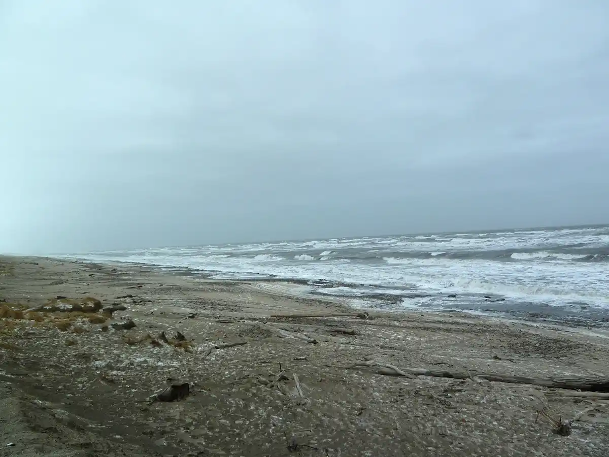
A Bering Sea storm made landfall in Western Alaska with its heaviest impacts arriving Thursday and Friday, bringing wind gusts of more than 50 mph to coastal communities, 10 to 20 inches of snow in the Brooks Range, and coastal flooding along the Southwest Coastline and into the Bering Strait region.
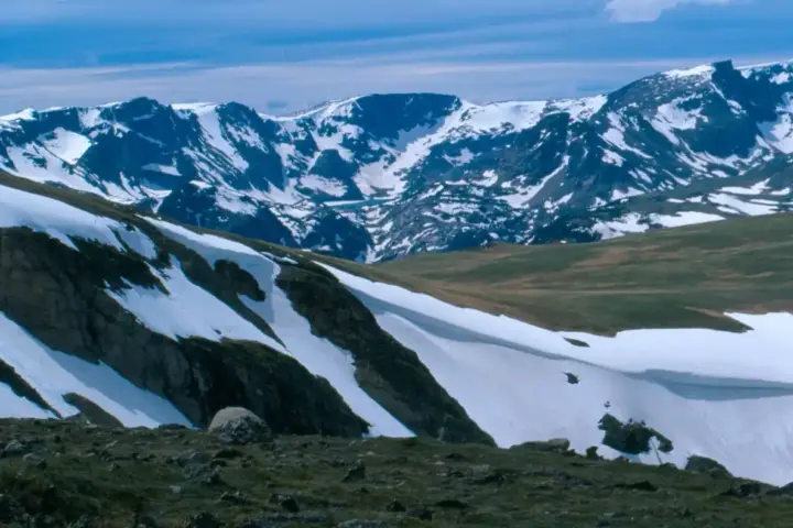
The storm made landfall across Western Alaska with peak impacts through Friday, October 24. Wind gusts had topped 50 mph in Bethel, Hooper Bay, and Gambell by early Friday morning. The Aleutian Chain saw heavy rain and wind gusts of 70 to 75 mph through Friday. Nome and the southern Seward Peninsula were forecast to receive 3 to 7 inches of snow. Inland, the Noatak area and the western Brooks Range were forecast to see 10 to 20 inches of snow from Friday through Sunday. Coastal flooding is affecting communities from the Southwest Coastline to Utqiagvik, with water levels peaking during high tide cycles. The National Weather Service offices in Fairbanks and Anchorage issued winter storm warnings and coastal flood advisories across the affected zones. A secondary low is expected to bring another round of gusty winds into early next week.
Coastal residents in affected Yukon-Kuskokwim Delta and Bering Strait communities must secure bulk fuel tanks, elevate critical equipment, and prepare for temporary power disruptions. Blizzard conditions in coastal areas will create reduced or near-zero visibility at times through the weekend. Local water treatment systems and bulk fuel storage in low-lying communities are at risk from storm surge. Maritime operators in the affected zone should monitor NWS bulletins continuously for updated forecasts through Sunday.
Each area faces different conditions: blizzard conditions and coastal surge affect Bering Strait communities including Nome and Gambell; major snow accumulations of 10 to 20 inches are concentrated inland across the Brooks Range; and coastal flooding is the primary concern along the Southwest Coastline and toward Utqiagvik. Travelers and emergency responders should check the specific NWS bulletin for their zone rather than treating the entire region as facing identical hazards.
The elevated damage risk in coastal communities is connected to late-season sea ice conditions. Bering Sea shorelines historically have partial sea ice coverage by late October that reduces wave energy before it reaches shore. When that buffer is absent or reduced, gale-force systems generate greater wave run-up along exposed coastlines. Current sea ice data and historical baseline comparisons are tracked by NOAA and the National Snow and Ice Data Center — check those sources for the specific sea ice status during this storm.
The Alaska Division of Homeland Security and Emergency Management has activated regional response coordination for affected communities.
Western Alaska coastal communities have faced long-term infrastructure relocation debates for years as erosion accelerates along these shorelines. Check NWS Alaska weather updates for the latest surge timing and snowfall forecasts as this system moves through the region.