Karmactive Staff
As of the August 13, 2026 11 AM HST advisory, Tropical Storm Lala had sustained winds of 40 knots (45 mph), a minimum central pressure of 1000 mb, and was located at 15.4 degrees north, 146.2 degrees west — roughly 775 miles southeast of Hilo. The system was moving west-northwest at 10 mph toward the Hawaiian Islands.
The National Hurricane Center issued a Hurricane Watch for multiple zones on the Big Island: East, Interior, North, South, Southeast, Summit, Kohala, and Kona — all valid until 6 PM Friday. A High Surf Advisory was also issued for south-facing shores across all Hawaiian Islands until 6 AM Friday, with breaking waves of 8 to 12 feet expected.
What to expect this weekend
The NHC projects that Lala could strengthen to a Category 1 hurricane by Saturday, with winds between 75 and 80 mph. Category 1 hurricanes are the weakest classification on the Saffir-Simpson scale but still dangerous: high winds can damage roofs and overturn vehicles; heavy rain can trigger flooding and mudslides.
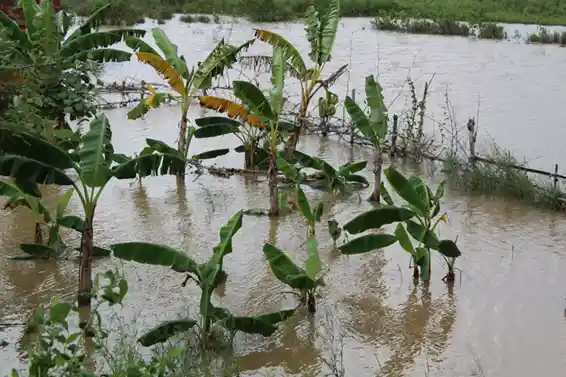
The rainfall threat is severe. Total precipitation could reach 20 inches in areas of steep terrain, creating dangerous flash flood conditions. Windward slopes, which face the oncoming storm, will receive the heaviest rainfall.
El Niño connection and record warmth
The current El Niño event has fused with a sprawling marine heat wave in the North Pacific, creating a wide area of extremely warm water that extends for thousands of miles. NOAA’s Coral Reef Watch confirmed 75 consecutive days of record-high sea-surface temperatures in the equatorial Pacific, with waters in some zones hitting the mid-80s Fahrenheit.
Warm ocean temperatures are the fuel that powers tropical cyclones. Each degree of additional warmth can translate into roughly 10 mph more in peak wind speeds. This makes Lala’s potential intensification into a Category 1 hurricane more likely, and the rainfall totals more extreme.
April’s wake-up call
Earlier this year, on March 23, 2026, Hawaii faced devastating storms that prompted a federal disaster declaration on April 7, 2026 (FEMA DR-4909-HI). The state estimated $1 billion in damages from those events.
The last hurricane to make landfall on the Big Island was Hurricane Darby in 2016, according to NOAA historical data.
Preparing now
Residents in evacuation zones, especially those near streams and gulches on the Big Island’s windward side, should be prepared to leave quickly. Emergency supplies — water, canned food, flashlights, batteries, and medications — should be secured now. Heavy rainfall and potential mudslides can isolate communities before the storm’s center arrives.
Monitor official guidance from the National Weather Service Honolulu and Hawaii County Civil Defense. Updates are issued every six hours until the threat passes. The Central Pacific Hurricane Center continues to monitor model guidance for potential track shifts.