 Sonali Tiwary
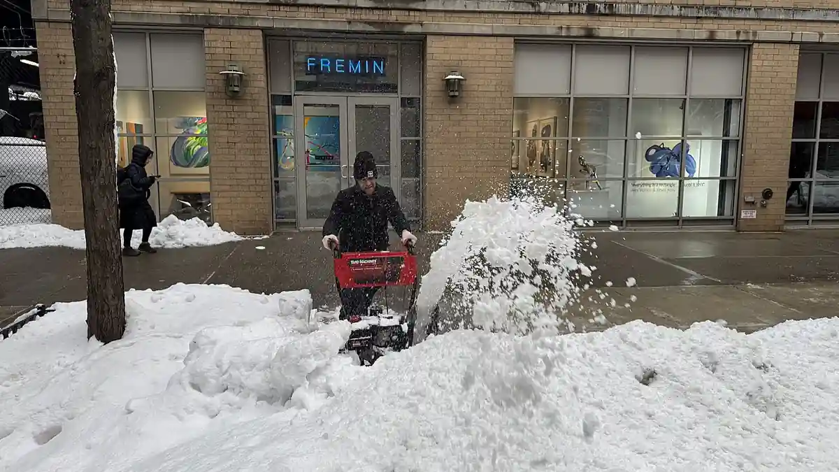
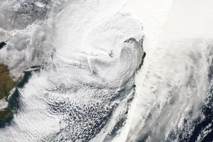
Nearly 200 million people east of the Mississippi were forecast to feel their coldest air since spring this week — but despite “first nor’easter” headlines circulating online, forecasters expected most major East Coast cities to see cold rain, not snow.
As of forecasts issued November 10–11, temperatures were expected to plunge 5°F to 15°F below average, with daytime highs dropping about 20°F from Chicago to Atlanta between Wednesday and Friday. A storm system was forecast to cross the Midwest Wednesday and strengthen over the Ohio Valley that night, before a secondary coastal low formed off the Eastern Seaboard Thursday night. Sub-freezing lows were expected Friday and Saturday, with forecasters flagging a possible season-first freeze for Atlanta and Birmingham and lows dropping into the 30s and 40s as far south as the Florida Panhandle and Orlando. These are forecast outcomes, not confirmed observations, and should be read as such after the fact.
If you live away from the immediate shoreline in Michigan’s Upper Peninsula, northwestern Indiana, or above roughly 3,500 feet in the Adirondacks, Green Mountains, or White Mountains, forecasters advised preparing for accumulating snow and sudden drops in visibility starting Thursday night. Meanwhile, anyone in the Ohio and Tennessee Valleys or the interior Deep South was advised to disconnect outdoor hoses, insulate exposed pipes, and cover tender plants before Friday night’s forecast freeze.
Why Warmer Great Lakes Can Intensify November Snow Squalls
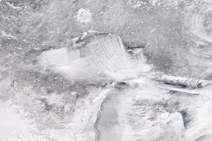
A warming climate appears to be playing a supporting role in this kind of storm. Great Lakes water temperatures were running above normal, and relatively warm, more open lake water can increase lake-effect snow potential when cold air crosses it. NOAA research shows Great Lakes winter conditions (days of ice cover or near-freezing surface water) are now about 14 days shorter in total than they were in 1995 — not 14 days shorter per decade, which would overstate the trend roughly three-fold. Separately, the Great Lakes’ maximum ice cover has declined by about 25% between 1973 and 2023, or roughly 5 percentage points per decade. Both trends can leave more open water available to fuel lake-effect snow even during a warmer-than-average November.
A forecaster’s technical breakdown cited in early reporting described lake water running several degrees above typical and cold air several degrees below freezing aloft, a setup consistent with lake-effect snow potential in Michigan’s Huron Mountains and above roughly 3,500 feet in the interior Northeast.
Was accumulating snow expected in New York City, Philadelphia, or Boston from this storm?
As of the November 10–11 forecasts, no accumulating snow was expected in major I-95 cities including Washington, D.C., Philadelphia, New York City, or Boston. Warm ground and surface air temperatures above 32°F were expected to keep precipitation falling as cold, wind-driven rain along the coast, with accumulating snow confined to inland elevations above roughly 3,500 feet and the Great Lakes snowbelts.
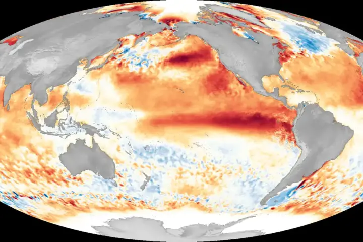
A temperature rebound was expected early the following week. Forecasters were tracking a strong El Niño pattern as a seasonal background influence on the month, but a specific monthly ranking (such as “top-10 warmest November”) is a projection that can only be confirmed once the month’s data is final — treat it as a forecast, not a result, unless verified against NOAA’s actual end-of-month data.