 Sonali Tiwary
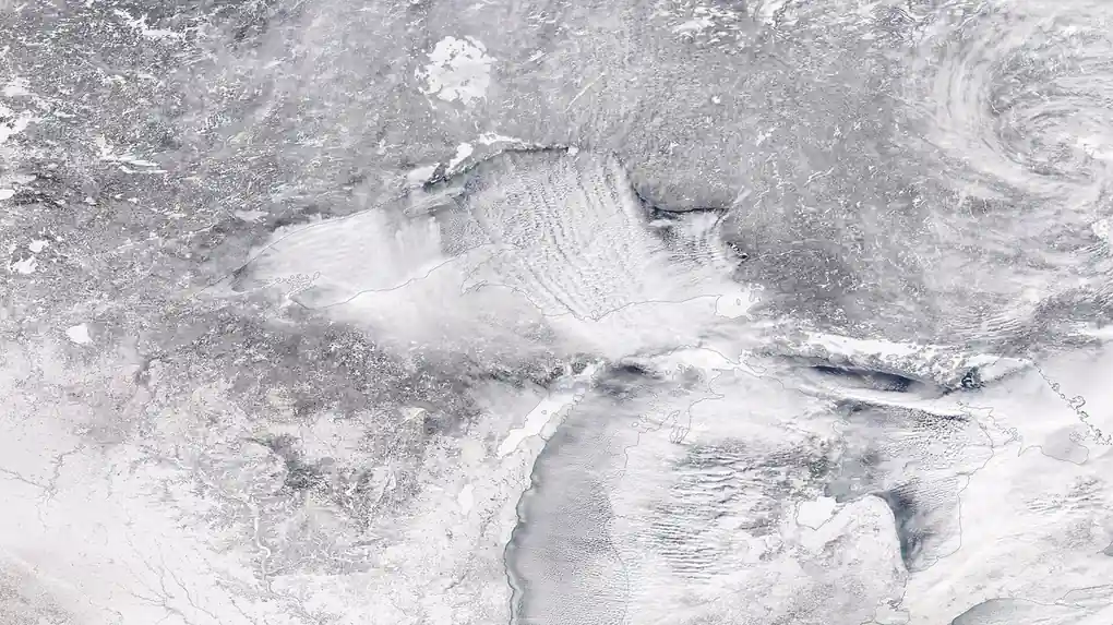
Thirty kilometers above the Arctic, winds that normally race around the pole at more than 20 meters per second have collapsed toward zero — and forecasters say a full reversal would be the earliest of its kind ever recorded.
Daily-mean stratospheric winds at 10 hPa and 60°N fell from 22.13 meters per second on October 25 to just 5.44 m/s by November 2, 2026, an unusually sharp and early weakening of the polar vortex. By November 7, NOAA and ECMWF wind charts showed the reading down to about zero but not yet clearly reversed to easterly, the threshold that officially defines a major sudden stratospheric warming (SSW). Forecast guidance was consistent across models: as of that week, all 50 ECMWF ensemble members pointed to a wind reversal arriving by around November 21. Should that reversal be confirmed, it would arrive weeks earlier than any major SSW on record — the earliest previously observed was November 28, 1968, in records dating back to 1958.
That potential history-making shift won’t bring instant cold, though. A near-record Super El Niño and an unusually mild Canadian Arctic are keeping mid-November temperatures comfortable across much of North America. The real test comes later: use the next few weeks to winterize pipes, check furnaces and swap to winter tires, because forecasters expect atmospheric blocking to start shifting cold risk toward the US, Canada and Europe once the vortex disruption works its way down from the stratosphere.
Date-by-Date Timeline: Early November Into December
With a reversal pointing toward the second half of November, forecasters are watching for a negative Eastern Pacific Oscillation and a ridge building over Alaska in the following weeks — the setup that would pull cold air southward into North America. A further round of atmospheric blocking could follow into early December, though the surface-weather response to this specific event remains uncertain even where the stratospheric signal is clear.
Regional Impacts for the US, Canada, and Europe
Why isn’t it cold yet? The deepest cold air sitting near the pole right now is parked on the Siberian side, not over North America, so Canada’s Arctic is unusually mild for now. When a disrupted vortex reshapes the jet stream two to six weeks later, forecasters expect a mixed picture rather than one simple freeze: negative North Atlantic Oscillation patterns tend to chill the UK and northern Europe while occasionally leaving parts of eastern Canada closer to normal. British Columbia’s recent parade of Pacific storms could also ease if an Alaska ridge takes hold later in November.
Strong El Niño winters usually strengthen the polar vortex rather than disrupt it, which is part of why this disruption caught meteorologists’ attention even before a reversal was confirmed.
When will the November 2026 polar vortex disruption actually bring cold weather?
A stratospheric disruption typically takes two to six weeks to reach the surface and reshape weather patterns. With wind speeds collapsing toward zero in early-to-mid November and most ensemble models pointing to a reversal by around November 21, the first real opportunity for colder, more unsettled weather in North America and Europe would sit in late November or early December, depending on how an Alaska ridge and blocking pattern develop.
Why is it still mild in parts of North America right now?
Because the coldest air is currently sitting over Siberia, not over the Arctic regions closest to North America, and a near-record El Niño is reinforcing a mild Pacific jet stream in the meantime.
Could the vortex disrupt again later this winter?
Yes — a disruption this early doesn’t rule out additional stratospheric warming events in January or February, which forecasters will track separately as the winter progresses.
The next milestone to watch is confirmation of the wind reversal itself in NOAA’s and NASA’s daily stratospheric wind data, along with whether the negative Eastern Pacific Oscillation materializes as expected; a seasonal winter forecast update is also due around November 25.