 Rahul Somvanshi
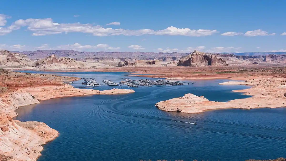
Weeks of destructive Southwest flooding forced evacuations and claimed lives — but they also handed two of the region’s most strained reservoirs their biggest boost in years. The question is whether that’s a turning point or a temporary reprieve.
NASA Earth Observatory satellite images from September 20 and November 7 show Navajo Reservoir in New Mexico rising nearly 60 feet, lifting it from 60% to 108% of its seasonal average and to its highest level since August 2019. Downstream, Lake Powell climbed 22.22 feet off its all-time low to reach 3,538.84 feet by November 8. Four Corners rainfall ran two to four times the seasonal average, pushing the San Juan River near its 1911 flood record near Pagosa Springs, while Flagstaff and Coconino County, Arizona declared local states of emergency amid the flooding in late October and early November.
Even with that surge, your 2027 water allocation and Western hydropower rates remain at risk. Lake Powell still sits at just 26% of capacity — less than 50 feet above the minimum level needed to keep generating power at Glen Canyon Dam, which serves roughly 5 million customers across seven states. Water managers say it would take many more floods of this size, once evaporation and water use are factored in, to refill the reservoir to capacity.
Why Upstream Navajo Filled While Lake Powell Trails
The two reservoirs’ different fortunes trace back to a deliberate operational choice, not just rainfall. The Bureau of Reclamation cut releases from Navajo Dam on September 16 and 17, and new basin rules adopted after October 1 prioritize refilling upstream storage before water flows downstream to Lake Powell — meaning the dramatic Navajo number partly reflects water being held back rather than released. One Upper Colorado River Commissioner cautioned against letting a temporary hydrologic bump become an excuse to delay harder decisions on the basin’s long-term water problems.
Comparing the two Landsat images side by side shows something beyond water level: Navajo Reservoir’s color shifted from clear, dark green in September to opaque, mud-brown by November — a visible marker of the heavy sediment and flood debris carried roughly 40 miles downstream from Pagosa Springs after more than five inches of rain pushed the San Juan River to the edge of its century-old record.
Did the November 2026 floods fix the Lake Powell water crisis?
No. While storms lifted Lake Powell 22.22 feet to 3,538.84 feet by November 8, the reservoir remains just 26% full. Water managers say restoring it to full capacity would take many more floods of this size once evaporation and water use are counted.
The next checkpoints are the Bureau of Reclamation’s December 24-Month Study and this winter’s snowpack reports — the slow, steady kind of water supply these reservoirs actually depend on.