 Sonali Tiwary
After weeks of record autumn warmth, the eastern half of the country is about to feel winter for the first time this season — and the shift is happening fast.
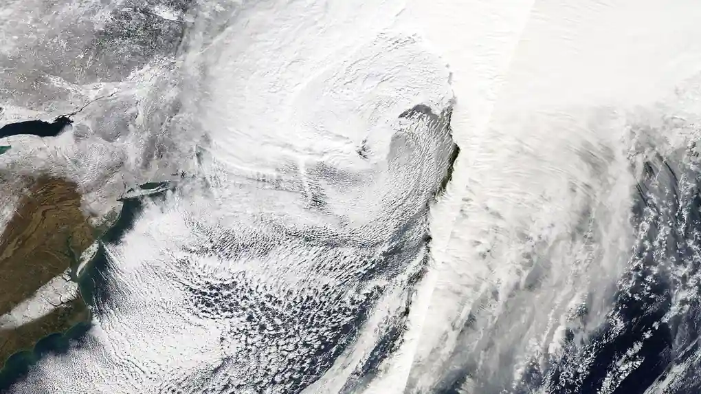
A storm organizing over the Great Lakes and Ohio Valley late Wednesday will track into the Mid-Atlantic and Northeast Thursday before strengthening into a coastal nor’easter Friday. By Saturday, more than 160 million Americans across the eastern half of the country will be below-average in temperature — a sharp reversal from Tuesday, when over 300 million people were above average and only about 4 million were below. Afternoon highs will fall into the 30s°F for more than 110 million people across the Northeast, Great Lakes and Ohio Valley.
Where you live determines whether you’ll see snow or just cold rain. Higher elevations across upstate New York, Vermont, New Hampshire, Maine and the Appalachians — including central Pennsylvania — are likely to see the season’s first accumulating snow Friday into Saturday. Along the I-95 corridor, including New York City, Boston and Philadelphia, warmer surface air should keep precipitation mostly rain, though wind and cold will still bite. Have winter gear ready and expect slower commutes regardless of which side of that line you fall on.
Day-by-Day Timeline and the Polar Vortex Connection
Rain moves through the Ohio Valley Wednesday night, reaches the Mid-Atlantic and Northeast Thursday, and the storm organizes into a coastal low Friday as temperatures drop. By Saturday the cold settles in across the eastern half of the country, and by Sunday it reaches as far south as the Gulf Coast and parts of Florida. Meanwhile the Western US — California, the Great Basin, the Desert Southwest — stays 10 to 20°F above normal under a ridge, a dipole pattern tied in part to an early disruption of the stratospheric polar vortex that let the jet stream dip south into the East.
Where will it snow in the Northeast this week?
The best chance for accumulating snow runs through higher elevations in upstate New York, Vermont, New Hampshire, Maine and the Appalachians, including central Pennsylvania, from Friday into Saturday. The I-95 corridor — New York City, Boston, Philadelphia — will more likely see rain than snow because surface temperatures there are expected to stay warmer.
Forecasters expect the cooler pattern to persist through next weekend, with the freeze eventually reaching the Gulf Coast and Florida by Sunday.