Karmactive Staff
For the second time in weeks, the Gulf Coast is on alert. And this time, Texas is in the crosshairs.
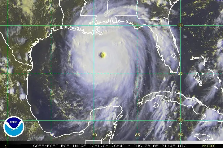
Tropical Storm Bertha, the second named storm of the 2026 Atlantic hurricane season, made landfall near the Biloxi Wildlife Management Area in St. Bernard Parish, Louisiana, at approximately 2 p.m. CT on Wednesday, July 22. At the time of landfall, Bertha carried maximum sustained winds of 45 mph, moving west-northwest at around 7 mph.
Before crossing the Louisiana coast, the storm had sustained winds of 60 mph. The National Hurricane Center did not expect Bertha to reach hurricane strength — defined as sustained winds of 74 mph or higher — at any point during its path.
After making landfall in Louisiana, the storm began tracking toward the Texas Gulf Coast. Bertha was expected to bring its heaviest impacts to the Corpus Christi area and the central Texas coast on Thursday, July 24. Wind gusts of 40 to 50 mph were forecast along the immediate coastline, with lighter conditions expected across most of the greater Houston metro. Rainfall of 1 to 4 inches was forecast across the region, with isolated totals reaching up to 6 inches in some areas. A storm surge of up to 3 feet was possible from the Alabama-Florida border to Port Bolivar, Texas, and around Lake Pontchartrain in Louisiana.
Forecasters expected Bertha to weaken and dissipate over inland Texas by Thursday night or Friday.
The storm also brought heavy rainfall to the Carolinas and Virginia as it moved through the Gulf of Mexico. Flash flooding was a concern in urban areas along the Gulf Coast and the Southeast.
NOAA had forecast the 2026 Atlantic hurricane season as a below-normal year, with 8 to 14 total named storms expected overall. Bertha is the second named storm of the season.
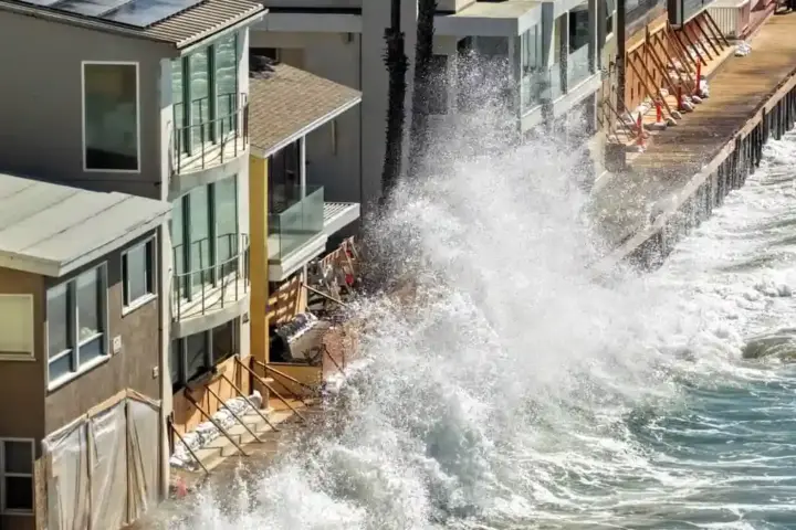
While Bertha itself is not a major hurricane, the threat it carries is real. Storm surge — the rapid rise of ocean water pushed ashore by a storm’s winds — can be the most dangerous element of any tropical system, including weaker ones. Even a 2 to 3-foot surge can flood low-lying streets, damage vehicles, and become life-threatening in areas without adequate drainage.
Texas coastal residents, particularly those near Corpus Christi, Port Bolivar, and Galveston Bay, were urged to monitor updates from the National Weather Service and take precautions. Mariners were advised to stay off the water through Thursday.
Warmer Gulf of Mexico waters in recent years have allowed tropical systems to retain more moisture even as they weaken, meaning a storm that loses wind strength over land can still deliver heavy rainfall far inland. That pattern has made rainfall flooding from relatively modest storms increasingly common along the Gulf Coast in recent hurricane seasons.
Residents in surge-prone areas should have an emergency supply kit ready and know their local evacuation routes regardless of a storm’s intensity.