Karmactive Staff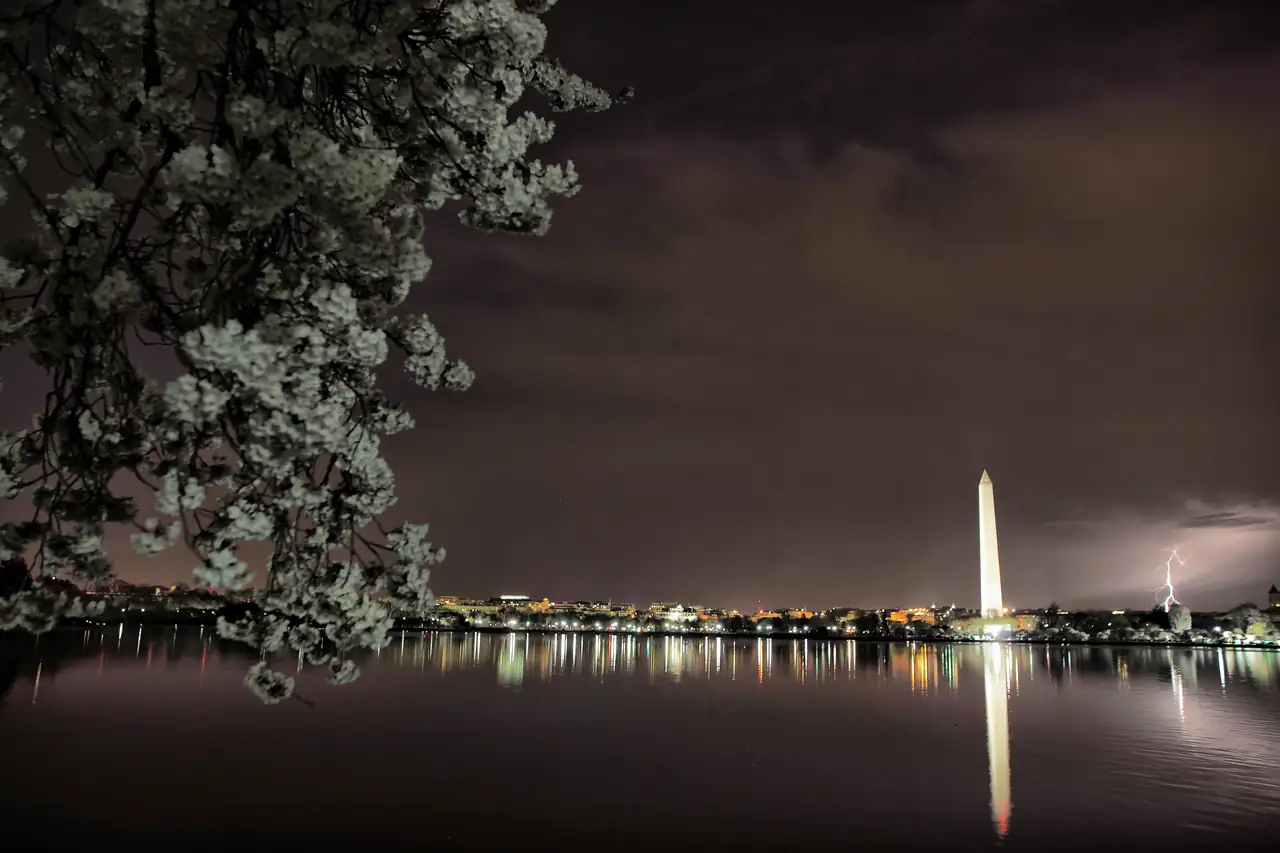
Late Thursday night into early Friday, a fast-moving line of severe thunderstorms cut through Washington, D.C., Maryland, and northern Virginia, bringing dangerous winds, heavy rain, and a lightning display over the National Mall that drew widespread attention online.
The storm system tracked southeastward from western Pennsylvania. It entered northern Virginia and suburban Maryland around 11 PM, with the most intense activity crossing central Washington around midnight.
Wind was the primary threat. Reagan National Airport recorded a gust of 64 mph during the overnight period, with sustained winds of 40 mph. A surface station in Loudoun County, Virginia, measured 62 mph. The National Weather Service’s Baltimore/Washington office issued a Severe Thunderstorm Warning, identifying damaging winds as the main hazard alongside heavy rain and frequent lightning.
A standard Severe Thunderstorm Warning is triggered at the 60 mph wind threshold. For Fairfax County, Prince George’s County, and the District of Columbia, the NWS issued a “Considerable Threat” designation — a step up that corresponds to a 70 mph wind criterion. That means forecasters expected conditions to exceed even the already-severe threshold.
Rainfall came down at 2 to 3 inches per hour in localized areas, causing short-duration road flooding in Fairfax and Alexandria.
Lightning struck frequently across the National Mall corridor throughout the event. Video footage captured multiple cloud-to-ground strikes near the Washington Monument. Whether lightning struck the monument directly has not been confirmed by an official source — the accurate description is spectacular lightning over and around one of the world’s most recognizable landmarks.
Safety guidance from the National Oceanic and Atmospheric Administration is unambiguous on this point: when thunder is audible, anyone in an open area — a national monument, public park, or open plaza — should move into a fully enclosed building or a metal-roofed vehicle. Open canopies and isolated tall trees offer no protection from ground-level electrical discharge. Motorists were also advised against driving through flooded underpasses.
The storm arrived just before Labor Day weekend, which gave it additional profile given the number of tourists in the area. But the hazard was real: a 64 mph gust carries enough force to bring down trees and power lines, and urban flash flooding can develop faster than drivers anticipate.