 Rahul Somvanshi
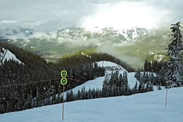
A short video making the rounds about Umrangso, in Assam’s Dima Hasao district, has reopened a question that the town itself has not yet answered in public: what is Umrangso actually being planned to become? The clip imagines the area pitched as a future “new Shillong” — a hill destination built on scenery and tourism revenue — while also raising concerns about open-cast mining, cement dust, blasting and heavy truck movement. It asks whether the two futures can coexist, or whether one is quietly displacing the other.
That is a fair question to ask of any local administration. It is also, on its own, not a verified account of what is happening on the ground. The video’s specific claims — a mining operation running for 30 years, a defined volume of truck traffic, a named project moving toward approval — are not independently confirmed by the sources examined for this piece. Nothing here should be read as confirming that a particular mine or cement facility has been cleared, or that it is contracted to run for three decades. The responsible position is to separate the planning question, which is legitimate, from the unconfirmed specifics, which are not established.
Why the question matters regardless
Dima Hasao’s hills have long drawn interest for both their mineral deposits and their landscape. Limestone and coal reserves in the district have supported industrial activity in parts of Assam for decades, and hill towns with cooler climates and forest cover have, elsewhere in the Northeast, become tourism draws once infrastructure and marketing caught up. Both paths are plausible for Umrangso. What residents and outside observers lack is a public, consolidated account of which path local and state authorities are actually steering toward — or whether both are being pursued in parallel without a shared framework for managing the conflict between them.
Open-cast mining and cement production are not inherently incompatible with nearby tourism, but they do carry known risks: particulate dust that travels with wind and affects air quality over a wider radius than the mine site itself, blasting vibrations, surface and groundwater disruption, and road wear from heavy vehicles. None of this means any specific project in Umrangso is causing these effects today. It means that wherever such industrial activity exists at meaningful scale, these are the categories regulators and communities are expected to monitor — and the scale and mitigation measures are something only project-specific records can establish, not general assumptions about what mining or cement operations tend to do elsewhere.
What a verifiable answer would look like
If residents want to know what Umrangso is actually becoming, the answer sits in a specific set of public records rather than in speculation. These typically include:
- Land-use and zoning plans — district or state documents that designate areas for industrial use, mining, forest protection, or tourism development, and any amendments to them.
- Environmental Impact Assessments (EIAs) filed for any mining or cement-related project, which are required before clearance for operations above certain thresholds and are meant to be available for public review.
- Public hearing records — minutes, attendance, and objections raised during the consultation process that is supposed to precede environmental clearance for significant industrial projects.
- Clearance conditions attached to any approval granted by state or central pollution control boards or environment ministries, including limits on operating hours, dust suppression requirements, and buffer zones.
- Ongoing monitoring data for dust, noise and water quality, which compliant projects are generally required to report on a periodic basis to pollution control authorities.
- Truck-route and transport plans specifying which roads heavy vehicles are permitted to use, and any restrictions near schools, markets or residential clusters.
- Local employment and benefit-sharing terms, including whether a project includes commitments to hire locally, and any community development or compensation obligations tied to the clearance.
Where these documents exist and are accessible, they settle the debate the Reel raises far more reliably than any single video can. Where they are missing, outdated, or hard for residents to obtain, that absence is itself the story — a planning process that has not been made legible to the people who will live with its consequences, whether those consequences are dust and heavy trucks or a tourism economy that never materializes as promised.
The honest framing
Umrangso’s residents are entitled to clarity about which future their town is being steered toward, and on what timeline. That clarity does not come from amplifying unverified figures about mine lifespans or traffic counts, nor from dismissing the underlying concern because the specific numbers can’t be confirmed. It comes from local and state authorities publishing the land-use plans, clearance files and monitoring records that would let anyone check the claims for themselves. Until those documents are public and current, the honest answer to “ecotourism or industry?” is that outsiders cannot yet say — and the task in front of Dima Hasao’s administration is to make that answer checkable rather than assumed.