 Sonali Tiwary
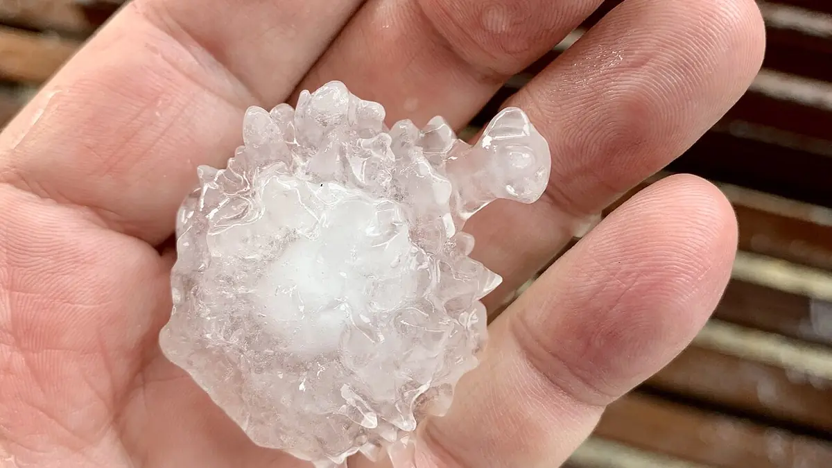
South-East Queensland residents are cleaning up splintered roof tiles, pockmarked car panels, and damaged skylights after Tuesday’s severe thunderstorm system dropped hailstones up to seven centimetres across southern Queensland and triggered flood warnings across the region. Bureau of Meteorology forecasters are already tracking a second moisture surge aimed at the region for Friday, October 30.
Thunderstorms smashed South-East Queensland and northern New South Wales on October 27, producing hailstones of 5 to 7 centimetres across the Sunshine Coast hinterland and parts of the Darling Downs. Parts of the Mary River catchment recorded more than 300 millimetres of rain across the week, triggering flood warnings across southern Queensland, including moderate flooding on the Mary River at Tiaro, downstream of Gympie. Atmospheric modelling indicates a new moisture convergence is likely to bring heavy rain back to central and south-east Queensland by late Friday, October 30.
If Tuesday’s 5-to-7-centimetre hailstones cracked your roof tiles, skylights, or car windscreen in South-East Queensland, you have a narrow dry window until Friday, October 30, when converging winds are forecast to trigger another round of heavy rain. Photograph all damage immediately, keep receipts for emergency tarping, and avoid accepting quick lump-sum cash settlements from insurers before an independent builder assesses hidden water ingress.
Atmospheric modelling shows moisture-laden winds converging over central and south-east Queensland again from Friday night. For homeowners with already-compromised roofs from Tuesday’s hail barrage, another rainfall event within 72 hours of the initial damage substantially increases the risk of internal water ingress and mould. Australian consumer protection guidance warns storm-hit homeowners not to accept immediate “cash settlements” from insurers without first obtaining an independent assessment—advice that applies directly to claims from Tuesday’s system. BoM’s long-term climate dataset shows Australia has warmed by approximately 1.5°C since 1910, contributing to more intense and variable extreme weather across eastern states. See 2026 Queensland storm weather impacts and Australian home insurance cash-settlement warnings for further guidance.
*Is more severe weather coming to Queensland and NSW this week?* Yes. After severe thunderstorms dropped 5-to-7 cm hail across South-East Queensland on October 27, atmospheric modelling shows moisture-laden winds converging over central and southern Queensland again by Friday, October 30, bringing renewed risks of heavy rainfall, flash flooding, and severe storms.
State Emergency Service crews remain deployed across South-East Queensland and northern NSW. Residents in the Mary River catchment downstream of Gympie and Tiaro should monitor BoM flood warnings closely. Do not drive through floodwater—turn around and find an alternative route.