Sonali Tiwary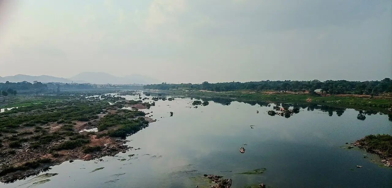
The Subarnarekha river in Odisha’s Balasore district reached critical water levels on September 2, 2026, during the ongoing monsoon season. India Meteorological Department monsoon warnings identified the Subarnarekha as high-risk, prompting Central Water Commission flood forecasting alerts across the region.
The river’s water level at Rajghat gauge station, as documented by Odisha State Disaster Management Authority, tracks the 10.36-meter danger level established in official district disaster-management protocols. When rivers exceed this threshold, authorities activate Level 3 alert status, triggering coordinated relief operations across affected areas.
Odisha's rivers breaching banks has affected nearly 8 lakh residents during monsoon intensification, with the Subarnarekha basin representing one of the highest-risk zones for downstream inundation. The OSDMA coordinates real-time relief operations, deploying rescue teams and establishing emergency shelters in low-lying villages within Balasore district.
Monsoon rainfall patterns intensified across Odisha’s northern subdivisions on September 2, creating upstream surges in tributary systems feeding the Subarnarekha. The Baitarani river, flowing parallel in adjacent regions, simultaneously experienced rising water levels that contributed to regional flooding stress.
State authorities have activated evacuation protocols in identified high-risk zones. Earlier Odisha flood coverage documented 8 lakh affected across 6 districts as CM toured inundated villages, establishing precedent for current response coordination. Control room bulletins update water levels every 6 hours, with IMD forecasts guiding decision-making for extending or lifting evacuation orders.
Residents in Balasore district should monitor official OSDMA channels for updated water-level readings and evacuation guidance. Historical monsoon patterns suggest peak water levels typically sustain 24-48 hours before gradual recession begins, though unusual rainfall patterns in 2026 have occasionally disrupted traditional seasonal timing.