 Rahul Somvanshi
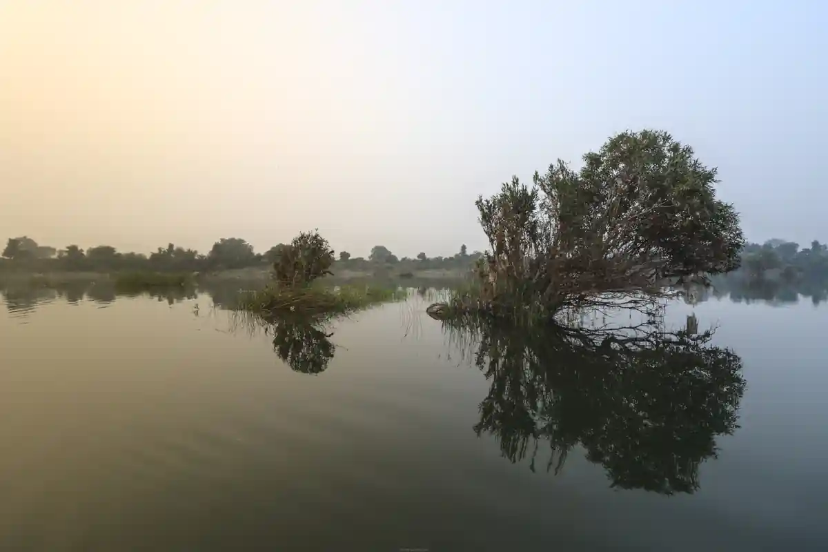
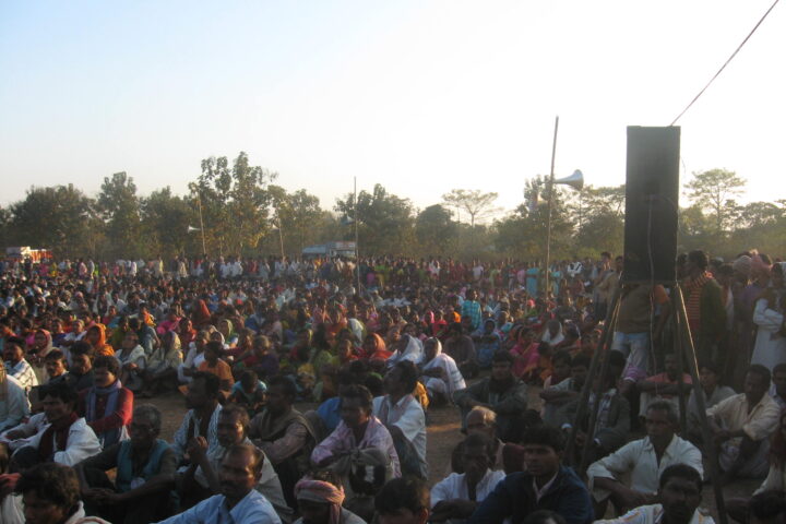
According to local reports, twenty-six Adi activists are on hunger strike in a police station in Upper Siang district. They were detained for peacefully opposing a dam that would submerge their villages, their forests, and a river they worship as a goddess. The government calls the 11,200-megawatt Upper Siang hydroelectric project a “strategic necessity” to counter China. The law calls it a violation of the Adi tribe’s constitutional right to say no.
What the Upper Siang Project Is
The Upper Siang hydroelectric project is a proposed 11,200-megawatt dam on the Siang river in Arunachal Pradesh. The Siang is the main stem of the Brahmaputra in India — it carries roughly 30 percent of the Brahmaputra’s total flow. The project would be built by NHPC, a central government enterprise, and would be India’s largest dam by capacity. The Arunachal Pradesh government has imposed Section 144 in the area, according to local reports. Twenty-six activists, including women and elders, were detained in late October 2026, according to activist statements. They have been on hunger strike since, demanding the project be scrapped and their right to free, prior, and informed consent be respected.
The consequences are not abstract. The Siang contributes 30 percent of the Brahmaputra’s flow. A dam this size in Zone V — India’s highest earthquake risk — would control water release for 11,200 megawatts of peak power, meaning daily flood pulses downstream in Assam and Bangladesh. The Adi tribe’s legal veto under Forest Rights Act Section 3(1)(i) and PESA is being overridden by a “strategic” designation that has no statutory basis. If the dam fails in a Zone V quake, the flood wave would reach the plains in hours. The 26 detained activists are the only thing standing between a legally mandated Gram Sabha consent and a project that has none.
The Legal Veto Being Ignored
The Forest Rights Act, 2006, Section 3(1)(i) recognizes the right of forest-dwelling communities to “protect, regenerate, or conserve or manage any community forest resource which they have been traditionally protecting and conserving.” Section 4(5) states that no forest rights can be modified or resettled without the free, informed consent of the Gram Sabha. The Panchayats (Extension to Scheduled Areas) Act, 1996 (PESA) goes further — it requires Gram Sabha consent for any project in Scheduled Areas that involves land acquisition or forest diversion.
Upper Siang district is a Scheduled Area. The Adi are a Scheduled Tribe. Many of their villages fall on forest land. By law, the Gram Sabha of each affected village must give consent before any forest clearance or land acquisition can proceed. Activists say no such consent has been sought. The government bypasses this by labeling the project “strategic” — a term that appears nowhere in the FRA, PESA, or the Land Acquisition Act. The Environment Ministry’s guidelines for “strategic projects” do not exempt them from FRA compliance. The Supreme Court in Orissa Mining Corporation v. Ministry of Environment & Forests (2013) — the Niyamgiri judgment — held that Gram Sabha consent under FRA is mandatory and cannot be overridden by executive fiat. The same principle applies here.
Zone V — India’s Highest Seismic Risk
The Upper Siang project site falls in Seismic Zone V, the highest risk category in India’s seismic zoning map (IS 1893). The 1950 Assam-Tibet earthquake (8.6 Mw) had its epicenter near Rima, Tibet, less than 100 kilometers from the proposed dam site. That quake caused massive landslides, changed river courses, and killed over 1,500 people. The region experiences frequent tremors above 5.0 Mw.
No large dam has ever been built in Zone V in India. The Tehri dam (1,000 MW) is in Zone IV. The Bhakra dam (1,325 MW) is in Zone IV. The Sardar Sarovar (1,450 MW) is in Zone III. NHPC’s own pre-feasibility report for Upper Siang acknowledges “high seismic hazard” and recommends “detailed site-specific seismic studies,” according to the report. Those studies are not yet public. The Central Water Commission’s guidelines for dams in Zone V require probabilistic seismic hazard analysis, maximum credible earthquake design, and independent expert review — the status of these for Upper Siang is unclear. A study by the Indian Institute of Science, Bangalore, modeled a dam-break scenario for a large Himalayan dam in Zone V. The study found the flood wave would reach Pasighat (population ~25,000) in under 90 minutes, and the Brahmaputra floodplains in Assam within 6-8 hours. The study concluded that “emergency evacuation planning for such scenarios is practically impossible given the terrain and population density.”
China’s Medog Dam — The Strategic Pretext
The government justifies Upper Siang as a counter to China’s proposed Medog dam on the Yarlung Tsangpo (the Siang’s Tibetan name). Chinese state media has reported a 60,000-megawatt project in Medog county, Tibet — nearly six times larger than Three Gorges. But the Medog project exists only in announcements. No ground has been broken. No environmental clearance has been published. The terrain — the Yarlung Tsangpo Grand Canyon, the world’s deepest — makes construction extraordinarily difficult. Chinese engineers have described it as among the most challenging hydropower projects in human history.
Meanwhile, India does not need 11,200 megawatts of new peaking power. India’s installed capacity is over 440 gigawatts. Peak demand in 2023-24 was 243 gigawatts. The Central Electricity Authority projects a surplus through 2030. Upper Siang’s power would likely be exported to other states or sold on the exchange — not used locally. Arunachal Pradesh’s own peak demand is under 200 megawatts. The “strategic” argument collapses under energy economics.
Downstream Stakes — Assam to Bangladesh
The Siang becomes the Brahmaputra at Pasighat. From there it flows through Assam — Kaziranga National Park, Majuli island, Guwahati — and into Bangladesh, where it joins the Ganges as the Meghna. Thirty percent of the Brahmaputra’s lean-season flow comes from the Siang. A peaking dam releases water in short, high-power bursts during evening demand peaks, then holds it back. This creates daily artificial flood-drought cycles downstream.
Assam already faces catastrophic annual floods. Daily peaking from Upper Siang would add unpredictable pulses. Kaziranga’s rhino habitat depends on natural flood regimes. Majuli, the world’s largest river island, is already eroding. Bangladesh, a lower riparian, has no treaty with India on Brahmaputra water sharing. The 1996 Ganges treaty covers only the Ganges. The 1997 UN Watercourses Convention, which India has not ratified, requires equitable utilization and no major harm. India’s own 2002 and 2013 MoUs with China cover only hydrological data sharing during monsoon — not dam operations.
The Observation That Changes the Frame
India plans its largest dam in the world’s highest seismic zone on a river the Adi worship as a goddess — to counter a Chinese dam that hasn’t broken ground. The Adi have legal veto power under FRA and PESA that the government bypasses by calling it “strategic.”
Why Are Adi Tribals Opposing the Siang Dam?
The Adi depend entirely on the Siang for food, water, and culture — they worship it as a goddess. Legally, Forest Rights Act Section 3(1)(i) and PESA 1996 require their Gram Sabha consent for any forest diversion or project in Scheduled Areas. No consent was sought, activists say. The region is Seismic Zone V (highest risk), site of the 1950 8.6 Mw earthquake. A dam failure would send a flood wave to the plains in hours.
What Happens Next
The hunger strike continues. The Gauhati High Court has a PIL pending. The Environment Ministry’s clearance decision is pending. Bangladesh has not been consulted on transboundary impact. The Adi’s legal veto exists on paper — whether it holds in practice depends on courts, public pressure, and whether India honors its own tribal rights laws. Check back for updates on the court hearing and clearance decision.