Sonali Tiwary
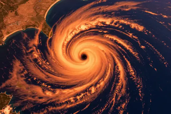
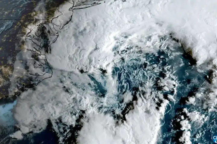
Hurricane Polo made landfall Monday evening north of Cabo San Lucas in Baja California Sur as a Category 3 storm with sustained winds of 115 miles per hour, the National Hurricane Center confirmed in its 5 PM MST advisory Monday. The storm, centred at 25.5°N 112.8°W and moving northeast at 12 mph, brought life-threatening winds and flash flooding to the Pacific coast of Mexico as it pushed inland toward Sonora.
Hurricane Polo landfall came after the storm weakened from Category 5 earlier in the week, when it carried 180 mph winds. The NHC recorded a minimum central pressure of 963 millibars at the time of landfall, a drop that signals significant intensity despite the downgrade from Polo’s peak. Life-threatening flash flooding and damaging winds were ongoing across Baja California Sur at the time of landfall, with the storm expected to reach southern Sonora by Tuesday morning.
Evacuation orders were active across coastal communities in Baja California Sur, with 78 or more people moved to shelters as a precautionary measure. Port closures and school cancellations were in effect across the region. Hundreds of residents took refuge in schools and public facilities set up as emergency shelters. Mexican civil protection authorities coordinated the response, though exact municipal evacuation counts were not immediately available from official sources.
If you are in Baja California Sur or southern Sonora, Polo’s landfall means life-threatening winds and flash flooding are already happening — not a forecast, now. Evacuation orders are active, ports are closed, and schools are cancelled. If you have not moved to shelter or higher ground, do it now. The storm is moving northeast at 12 mph and will reach Sonora by Tuesday morning, bringing the same flooding risk to a new area. Monitor NHC updates hourly — Polo can restrengthen over water after landfall.
From Category 5 to Category 3: Polo’s Rapid Weakening
Polo reached Category 5 intensity with 180 mph winds days before landfall, according to NHC records and prior Karmactive coverage. By the time the storm reached Baja California Sur, sustained winds had dropped to 115 mph — a 65 mph decrease in under 48 hours from that Category 5 peak. Rapid weakening before landfall is unusual and typically results from cooler sea surface temperatures or increased wind shear disrupting the storm’s core structure. NHC discussion language suggests this pattern, though specific causality was not confirmed.
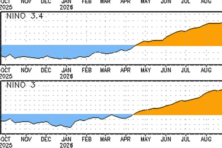
The environmental context matters: the 2026 Pacific hurricane season has been above average according to meteorologists, with warmer-than-usual sea surface temperatures fueling storm intensity across the basin. Karmactive’s earlier reporting on Mexico’s flooding vulnerability and climate change ties directly to this pattern — as storms grow stronger, the communities in their path face greater risk, particularly where deforestation and urbanization have reduced natural drainage capacity.
Is Hurricane Polo still active?
Yes. Polo made landfall Monday evening as a Category 3 hurricane with 115 mph winds north of Cabo San Lucas, Baja California Sur. It is moving inland northeast at 12 mph and will reach southern Sonora by Tuesday morning. Life-threatening winds and flash flooding are ongoing. (Source: NHC Advisory #33A, 5 PM MST Sep 28)
Forecast models suggest the storm’s remnants may carry moisture into the US Southwest in the coming days, a development residents of Arizona and California should monitor alongside Hurricane Nolo threatening Hawaii. Karmactive will update this story as new NHC advisories are released.