 Govind Tekale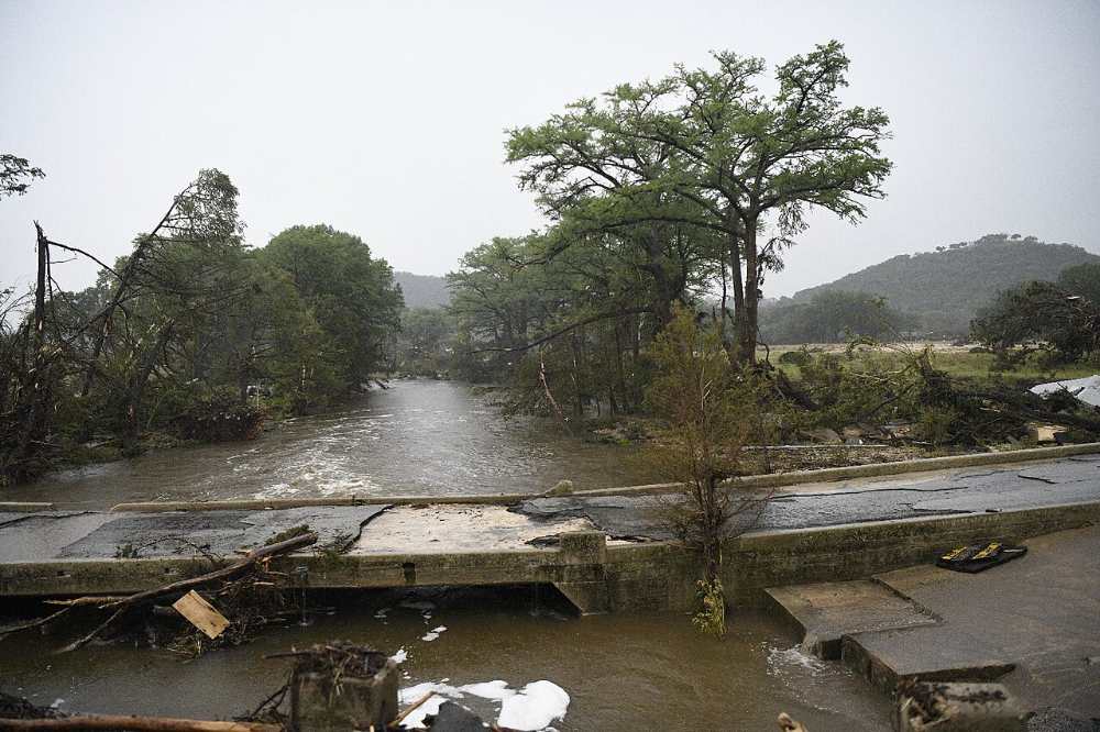
Tropical Storm Bertha weakened and dissipated Thursday night, but not before its heavy rainfall triggered flash flood warnings across the Houston metro area — stranding vehicles and swamping streets in Fort Bend and Harris counties.
The storm formed Monday in the Gulf of Mexico south of the Florida Panhandle and made its first landfall Wednesday afternoon in St. Bernard Parish, Louisiana, near the Biloxi Wildlife Management Area southwest of New Orleans, with maximum sustained winds of 45 mph. It grazed the Louisiana coast before making a second landfall Thursday near the Texas-Louisiana state line.
By Thursday evening, the National Hurricane Center downgraded Bertha to a tropical depression, placing its center about 10 miles north-northeast of Houston with maximum sustained winds of 35 mph. Hours later, forecasters declared the storm had fully dissipated over inland Texas.
The greatest danger came not from wind, but from Bertha’s persistent moisture. The National Weather Service in Houston issued a flash flood warning Thursday evening for east-central Fort Bend County and portions of Harris County, covering Sugar Land, Missouri City, Stafford, and First Colony. Between 3 and 4 inches of rain had already fallen across the warned area, with rainfall rates reaching 2.5 to 4 inches per hour at times. Forecasters warned another 1 to 3 inches was possible in areas already hit multiple times by heavy bands of rain.
Emergency crews responded to reports of stranded vehicles near U.S. 59 and Texas 6 in Sugar Land. As of Thursday night, no deaths or significant structural damage had been reported in Texas.
Along the Gulf Coast, storm surge reached 1 to 2 feet between Port Bolivar, Texas, and Port Fourchon, Louisiana. Total rainfall estimates ranged from 2 to 4 inches across coastal and south Texas, with isolated locations recording up to 6 inches.
Bertha’s reach extended well beyond its immediate track. The storm’s remnant moisture plume stretched hundreds of miles inland — by some estimates more than 800 miles from the storm’s center — fueling separate flooding threats along the East Coast. That pattern — a weakened tropical system dumping its moisture far from where it made landfall — is increasingly common as storm tracks interact with broader atmospheric conditions.
For Houston residents, the situation reflects a long-familiar pattern. The region sits in one of the most flood-prone corridors in the United States, where slow-moving storms and saturated soils can quickly turn moderate rainfall into dangerous conditions. The Central Texas floods of July 2025, which killed more than 120 people, remain a stark reference point for how fast those conditions can turn deadly.
Residents in affected areas were advised to avoid flooded roads and stay indoors until all warnings expire. Conditions in Fort Bend and Harris counties were expected to improve through Friday as Bertha’s remnants push further inland.