Karmactive Staff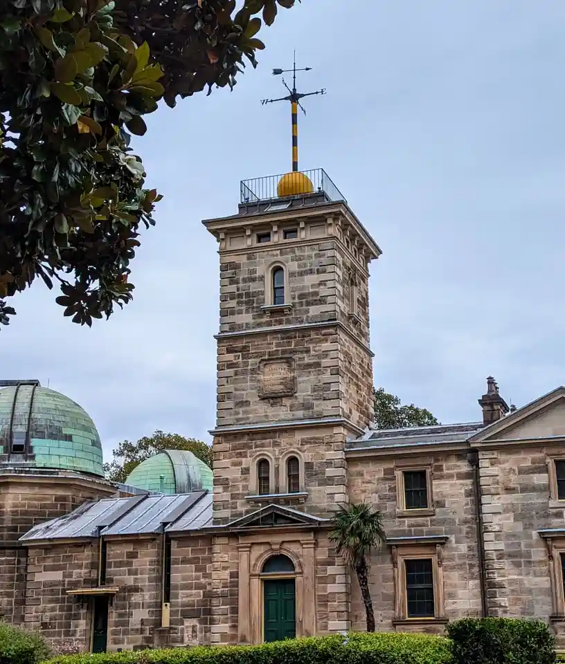
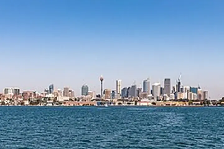
Sydney is entering spring with weather that feels like the middle of summer. Temperatures across parts of the city are forecast to reach 33°C this weekend — that is 10 to 13 degrees above what the opening days of September normally bring. This is not a small variation. That reading challenges historical records at the Observatory Hill weather station, which has tracked Sydney’s climate without interruption since 1858.
The heat is driven by hot, dry air flowing in from inland Australia on strong northwesterly winds. Those winds are forecast to reach around 50 km/h across Greater Sydney and up to 100 km/h along some coastal and mountain stretches. When you put high temperatures, dry conditions, and wind at that speed together, fire danger climbs sharply.
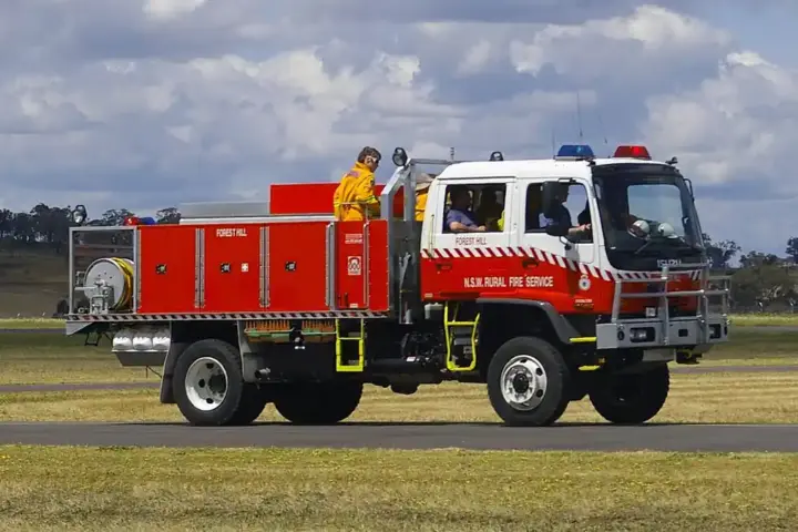
That combination prompted the NSW Rural Fire Service to declare a Total Fire Ban for Greater Sydney on September 5. The ban runs from 12:01 AM to 11:59 PM. What that means practically: no fires lit outdoors, no hot-work like welding or grinding near uncleared bush, and anyone holding an existing burn permit must suspend operations. These rules exist because a single spark on a day like this can become a major fire faster than crews can respond.
The fire danger rating across parts of Sydney has reached Extreme — the second-highest category on the Australian fire danger scale. Many tracks, trails, and campgrounds across the Greater Sydney area were closed as a precaution.
While the city bakes, the Snowy Mountains are dealing with the opposite. Thredbo recorded temperatures of -1°C, with snow falling. This is because the same large weather system sending hot air toward the coast is simultaneously pulling cold polar air into the alpine areas in the south.
That contrast spreads further. Wind gusts of up to 110 km/h were tracked over parts of South Australia, including the Mount Lofty Ranges and the Flinders Ranges. Northern Victoria and Tasmania are under flood watches because saturated ground cannot absorb additional heavy rainfall quickly. Multiple catchments across the region carry active flood watches.
The climate driver connecting these events is El Niño. Australia’s Bureau of Meteorology has assessed the current El Niño as strong to very strong and likely to strengthen further. The World Meteorological Organization separately described the same system as potentially intensifying into a very strong event with global weather implications through 2027. El Niño typically brings drier, hotter conditions to eastern Australia — but it is not the only factor. Soil moisture levels, fuel load in the bush, and wind direction all interact with it.
The Australasian Fire and Emergency Service Authorities Council’s seasonal outlook flags dry grass fuel loads across central and northern NSW, southeastern Queensland, and central inland areas, after an unusually warm winter. The fire danger does not stop when this weekend’s heat clears.
The practical advice for Sydney residents is straightforward. The Total Fire Ban means no outdoor burning of any kind. Check the NSW RFS fire danger rating before heading anywhere near bushland. Report any smoke you see. Many parks and campgrounds near the city are already closed.