 Sunita Somvanshi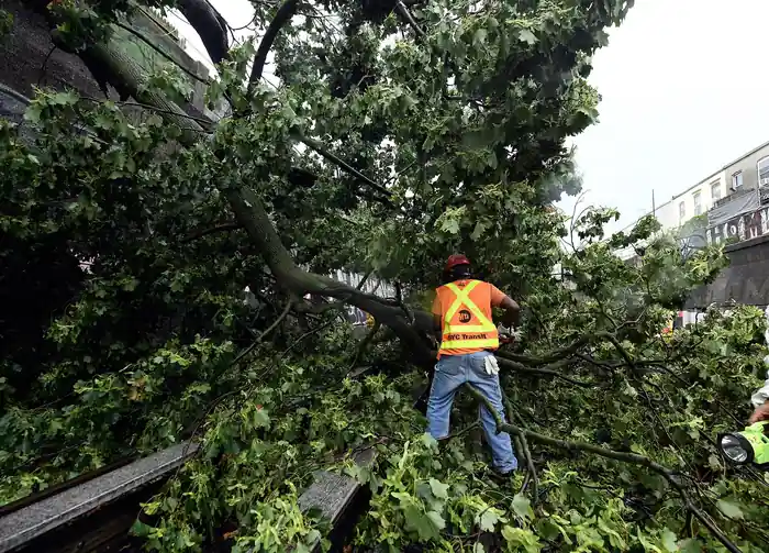
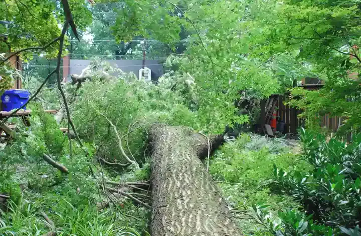
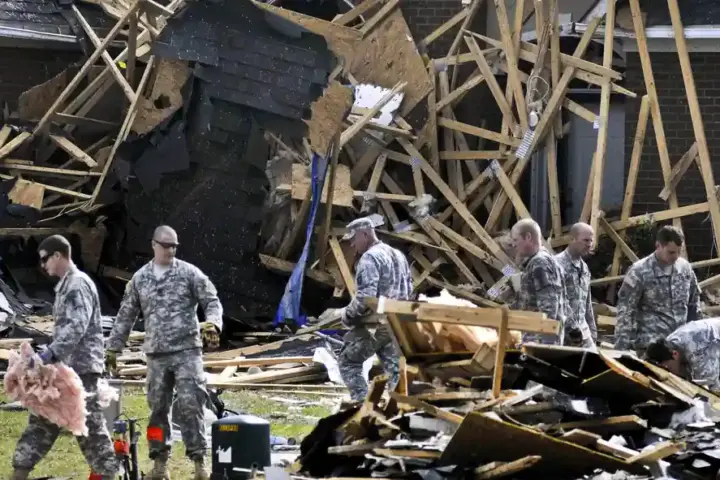
Severe thunderstorms rolled through Western New York on Wednesday, bringing tornado watches and heavy rain to the Buffalo area. The National Weather Service issued multiple storm alerts as conditions developed rapidly across the region.
A tornado watch was in effect on September 2, 2026, with severe thunderstorm warnings covering areas around Buffalo. The conditions included strong wind gusts, light to moderate rain, and the potential for rapidly rotating clouds. Residents in the warned areas were advised to monitor updates closely and seek shelter if conditions deteriorated.
Several types of storm alerts exist, and the differences matter for safety decisions. A tornado watch means conditions are favorable for tornado development in a region—stay alert but you don't need immediate action. A tornado warning means a tornado has been sighted or detected on radar, and you should take shelter immediately in a safe room or basement. Severe thunderstorm warnings, like those issued Wednesday, indicate damaging winds, large hail, or heavy rainfall are occurring or about to occur in a specific area. A flash-flood warning is issued when flooding is expected or happening in localized areas, usually in valleys, near streams, or in poor drainage zones.
The storm threat will ease Thursday, with Buffalo expecting a high near 79 degrees Fahrenheit. Additional thunderstorm chances remain possible in portions of the state, but the general pattern improves through the remainder of the week.
Labor Day, September 7, forecasts show quieter conditions. Forecasters predict mostly sunny skies with highs in the mid-70s Fahrenheit, creating conditions favorable for outdoor plans. The combination of sunshine and moderate temperatures should support those venturing outside.
Anyone who experienced the severe weather Wednesday and is planning Labor Day activities should monitor the latest forecast updates closer to the holiday.