 Rahul Somvanshi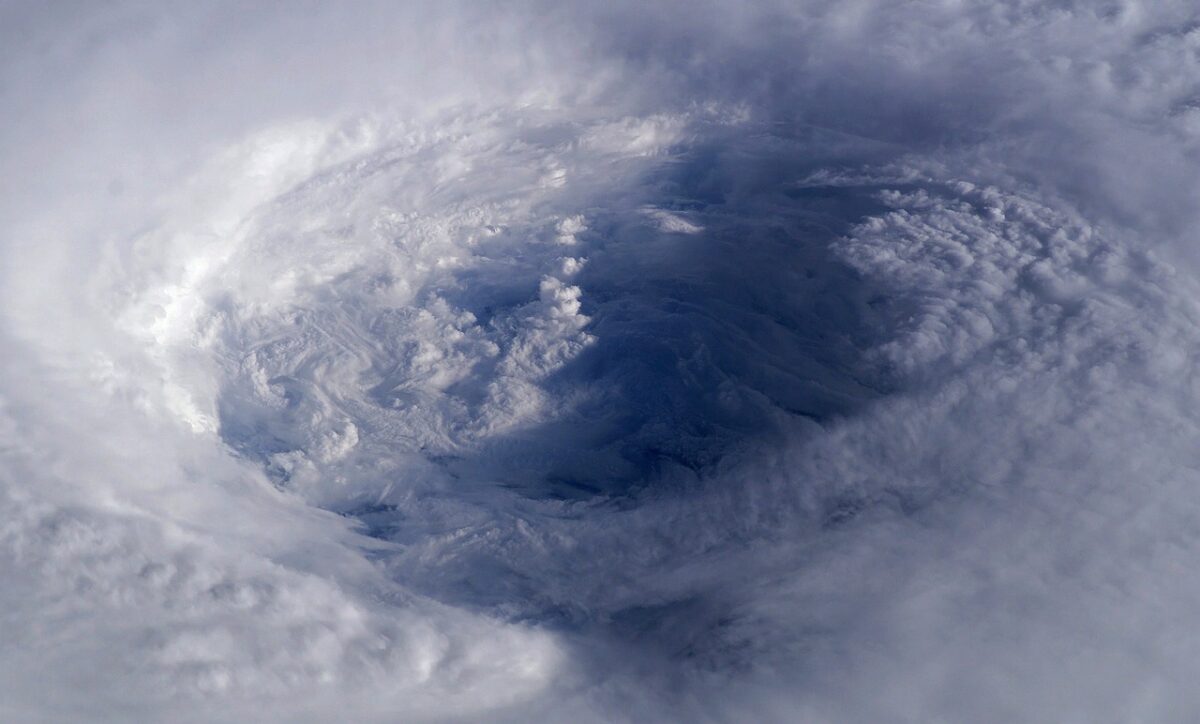
Cristobal, the third named storm of the 2026 Atlantic hurricane season, has formed well west-southwest of the Azores. The storm is producing tropical storm-force winds and is moving east at 22 mph.
The National Hurricane Center confirmed Cristobal’s formation on Wednesday morning, August 12, 2026, after satellite wind data indicated a well-defined circulation. Cristobal, which evolved from Invest 93-L, currently holds maximum sustained winds of 45 mph with a minimum central pressure of 1008 mb, according to the Wunderground tracker.
Unlike the destructive storms of past seasons, Cristobal is expected to be short-lived. Forecasters predict gradual weakening as the system encounters dry air and northerly wind shear, leading to complete dissipation by Thursday. The storm’s trajectory takes it eastward across the subtropical Atlantic toward cooler waters, away from land.
The season’s rapid development is notable. Cristobal marks the third named storm, putting 2026 on pace with early projections. NOAA’s updated August forecast predicted 7 to 13 named storms total for the season. With three already formed in the first half of August, the season is approaching the lower end of that range. This follows Tropical Storm Bertha’s landfall in Louisiana two weeks earlier, which pushed a 3-foot storm surge toward the Texas coast.
Meanwhile, the National Hurricane Center is tracking two additional disturbances. Invest 92L, located about 950 miles west-southwest of the Cabo Verde Islands, carries a 70% chance of development over the next 48 hours. Forecasters expect a tropical depression to form as it moves westward across the central tropical Atlantic. A second area near Bermuda shows lower development potential as it approaches cooler waters.
El Niño conditions continue to limit major intensification across the basin. While the climate pattern typically suppresses hurricane formation through increased wind shear, the Atlantic’s main development region is showing signs of activation. Tropical waves continue to move off the African coast, each bringing scattered convection into an environment that remains marginally favorable.
Cristobal’s predecessor storms share the name but not the impact. A Tropical Storm Cristobal in 2020 caused significant flooding along the Gulf Coast, particularly in Louisiana and Mississippi. The 2014 Atlantic storm of the same name remained offshore, posing no major threat to land. This year’s iteration carries 45 mph winds but no landfall projection. Meanwhile, karmactive.com previously covered Hurricane Melissa’s 185 mph landfall in Jamaica — the strongest storm on record since 1851 — showing how quickly Atlantic systems can escalate.
The Tropical Weather Discussion issued by the National Hurricane Center at 1815 UTC on August 12 notes that environmental conditions appear conducive for development of Invest 92L over the next couple of days. That system joins Cristobal and the Bermuda disturbance as evidence that August activity is accelerating.
With ocean temperatures in the mid-to-high 80s across the development region and a strengthening El Niño modulating wind shear, forecasters expect a complex second half of the season. The 2026 Atlantic hurricane season continues to unfold on a timeline that tracks closely with early forecasts.