San Francisco High Tides and Storm Bring Bay Area Flood Risk
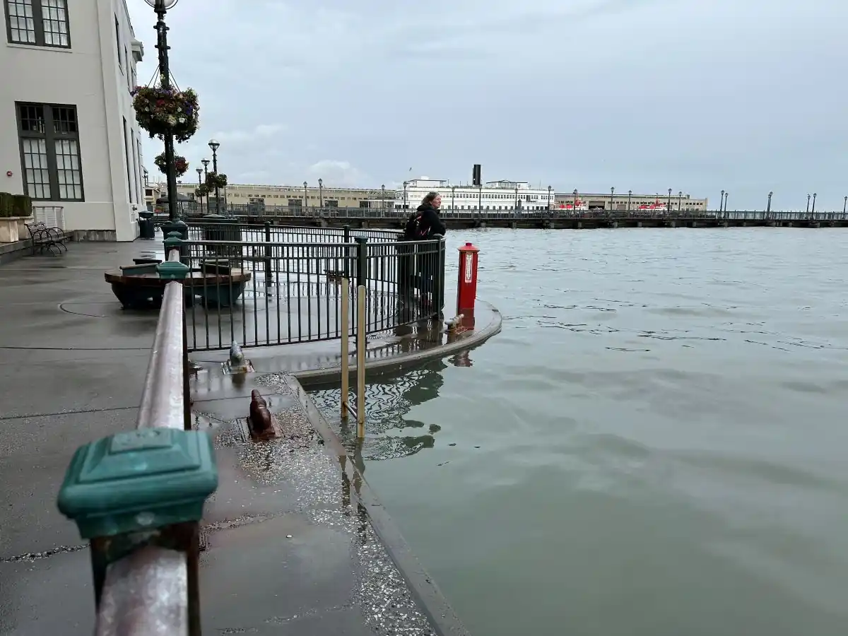
Bay Area residents and Thanksgiving travelers should prepare for coastal flooding Tuesday and Wednesday, when a strong storm system is expected to coincide with King Tides, according to the National Weather Service Bay Area office. The National Weather Service (NWS) forecasts San Francisco high tides reaching 8.4 feet MLLW on Tuesday and 8.6 feet Wednesday. MLLW means mean lower low water, a standard reference level for tide heights, as defined by NOAA.
The NWS says the highest coastal flood risk will be around the San Francisco and San Pablo Bay shorelines. Read more on how heavy rain drives river flooding in our earlier coverage. Its tide predictions include up to 1.6 feet of storm surge, which will enhance the astronomical tide and flooding threat. High water could affect low-lying roads and infrastructure, while high tides may also bring waves farther up beaches than usual.
For people traveling through shoreline neighborhoods, the timing matters: the San Francisco high tide is forecast for 10:05 a.m. Tuesday and 10:49 a.m. Wednesday. Flooding can make familiar routes impassable, and the NWS warns drivers not to go around barricades or through water of unknown depth. Residents with flood-prone property should take steps to protect it before the high tides arrive.

Latest from Disaster
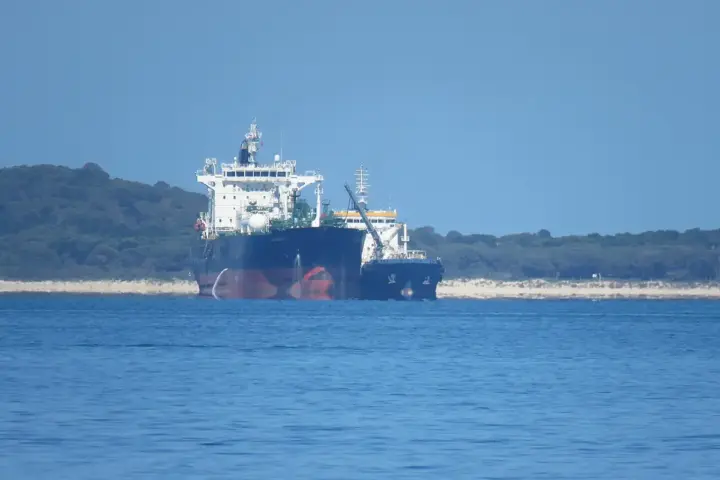
Tara Gas tanker attack in Strait of Hormuz left one crew member missing
Families of crew members and companies moving gas through the Strait of Hormuz may be watching reports about the LPG tanker Tara Gas. UK Maritime Trade Operations and the Joint Maritime Information
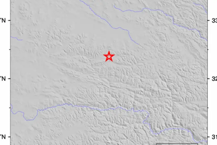
Nagqu’s M7.0 Earthquake: Why the Reported 4.7 Tremor Was Part of the Aftershock Sequence
If you have family in northern Tibet or are tracking rescue operations near Nagqu, the smaller 4.7 earthquake reported after the main event is not a separate incident to follow independently. It
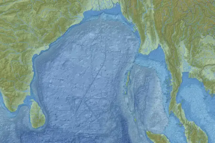
Bay of Bengal Low Pressure May Intensify: What IMD’s Latest Forecast Says
A low-pressure area has formed over the Bay of Bengal, and India’s Meteorological Department is tracking it for possible intensification. If you fish, work at ports or live on the Andhra Pradesh
Record September Heat and the Largest Southern Plains Drought Since 2022: What NOAA and NIDIS Data Show for October 2026
Crop shortfalls that could affect food prices, concerns about rural well water levels, and flash-flood risks on roads that had been cracked by drought just weeks earlier — October 2026 brought all
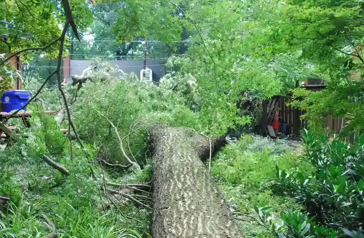
Kansas City Severe Storm Downs Trees and Knocks Out Power Across the Metro
Severe thunderstorms hit the Kansas City metro Tuesday evening with straight-line wind gusts topping 80 mph — strong enough to shear full-size trees at the trunk, push vehicles off roads, and rip
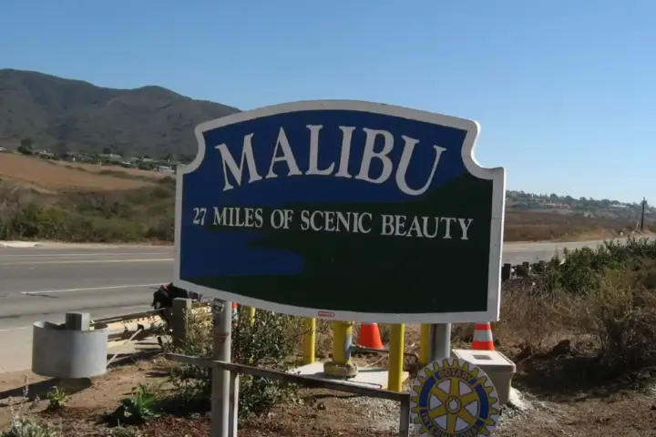
SCE Cuts Power to Malibu as Santa Ana Winds Push Los Angeles County to Red Flag Fire Warning
If you live or work along Malibu's Cuthbert, Galahad, Maguire, or Merlin circuits, your power may go off Thursday — and stay off longer than the wind does. Southern California Edison is
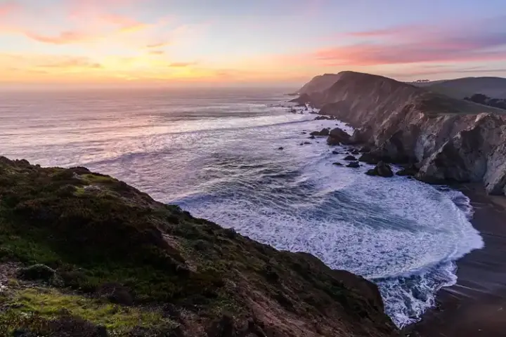
Long Beach Red-Tags Homes After High Surf Damages Peninsula Boardwalk
Residents on Long Beach’s Alamitos Peninsula are facing fresh damage after powerful surf struck the waterfront, undermining homes and damaging part of the boardwalk along Seaside Walk. At least eight homes were
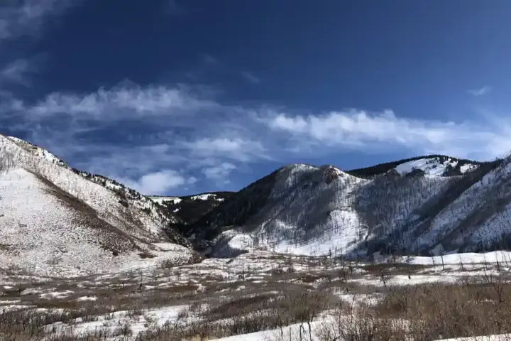
Tropical Storm Rachel Stranded 70 Moab 240 Runners Overnight and Washed Out the Race’s Only Exit Route
Families following the Moab 240 endurance race this weekend got a difficult update on Sunday. About 70 runners and support volunteers were temporarily isolated at Bridger Jack Aid Station after remnants of
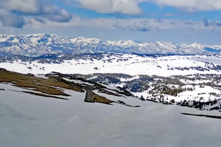
Montana’s Bob Marshall Wilderness Got Up to 30 Inches as the Winter Storm Warning Expired at Dawn Monday
This article updates earlier coverage of the Montana winter storm warning that expired at 6 a.m. MDT on Monday, October 12. If you traveled through portions of central Montana this weekend or
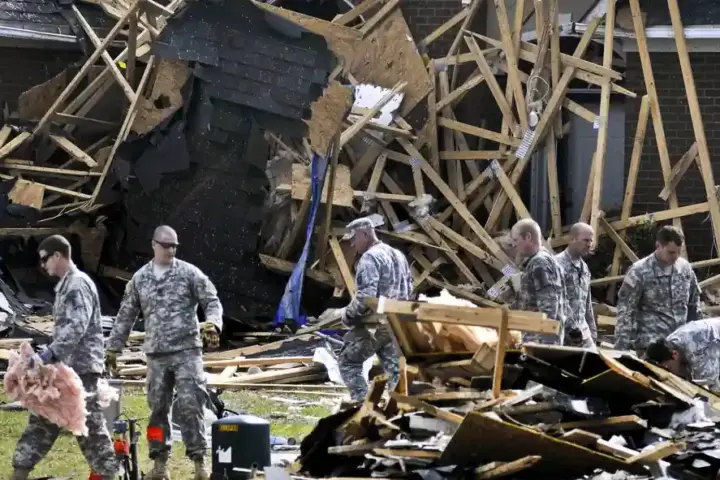
EF-0 Tornado Carved 1.68 Miles Through Southeastern North Carolina and NWS Isn’t Done Counting
If your property is in Bladen or Columbus County in North Carolina, or you want to know what was actually confirmed following Sunday’s storms versus what circulated on social media, the National
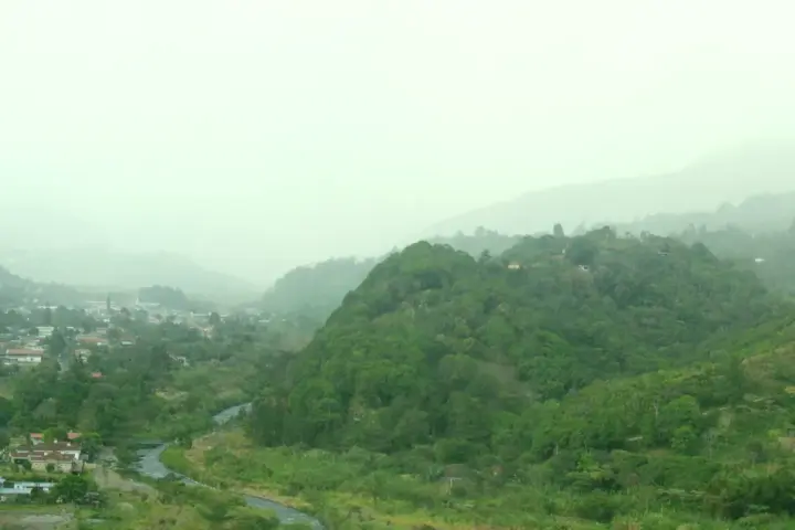
Panama’s 7.7 Earthquake Triggered a Tsunami Warning and Left 419 Schools Under Assessment Across the Central Provinces
If you have family in Herrera, Los Santos, Veraguas, Coclé, or anywhere in the central provinces of Panama, here is what the official record shows so far. Panama declared a state of

Ready Together emergency toolkit: what Somerset households should know before floods and power cuts
Prince William traveled to Somerset this week alongside actor Ross Kemp to launch a national emergency preparedness initiative. Coverage focused heavily on a joke about Kemp’s appearance on a television programme. The
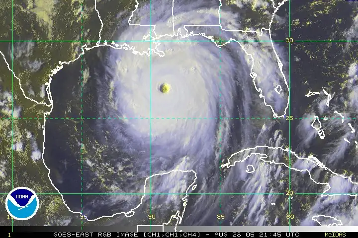
Gulf of Mexico Storm Watch: NHC Says 50% Chance Over 7 Days — Here’s What Forecasters Actually Predict
There is a low-pressure system in the Gulf of Mexico that the National Hurricane Center is watching. As of the most recent NHC bulletin, forecasters assign a 10% chance of development within
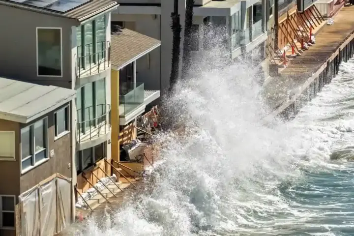
California Flooding: Super El Nino, Kelvin Wave and Vetoed Levees Converge
California’s emergency just got worse. Hurricane Polo crashed into Baja California on September 29, sending its soaked remnants northward. At the same moment, the state faces something even more menacing: a Kelvin

Nepal Avalanche at Himlung Himal Base Camp Kills 4, Dozen Missing
Nepal Avalanche at Himlung Himal Base Camp Kills 4, Dozen Missing Sunday&8217;s avalanche at Himlung Himal base camp in Manang district killed at least four people and left a dozen more missing.