 Rahul Somvanshi
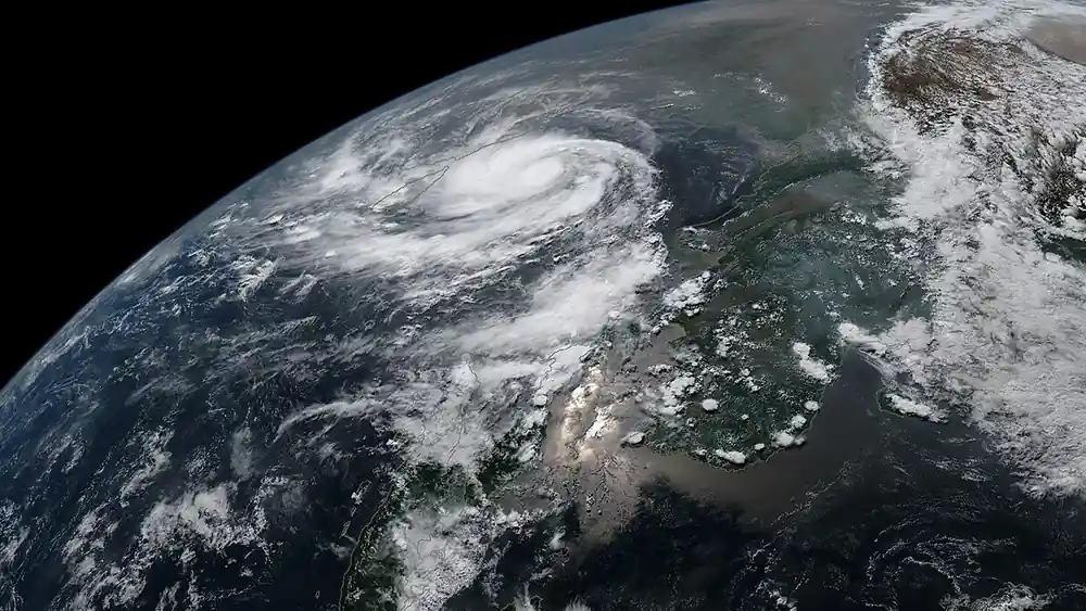
India has seen three cyclonic systems make landfall or affect its coastline within a single month, and satellite images show they behaved nothing alike. Thermal infrared imagery from ISRO’s INSAT-3DS satellite captures Cyclones Akvan, Arnab and Murasu with clearly different shapes, cloud spread and core structure, according to an India Today analysis of the images. The imagery shows how each system evolved over the Bay of Bengal and the surrounding region, and why storms from one basin do not all follow the same structure or produce the same impacts.
Cyclone Akvan appears in the November 20 image, taken around the time it crossed India’s eastern coast. Instead of a tightly organised spiral, its cloud structure reads as relatively asymmetric, with a broad area of dense convection stretching over eastern and northeastern India. That wide spread means its weather effects reached well beyond the storm centre. Akvan made landfall on November 20 with winds of 70-80 kmph and gusts to 90 kmph, having weakened overnight.
Cyclone Arnab tells a different story. Its cloud formations are broad and sprawling, with long bands reaching across the Bay of Bengal toward the peninsula. Arnab was the strongest of the three at landfall: it crossed the Andhra Pradesh and Yanam coast on October 28 as a Very Severe Cyclonic Storm, with sustained winds of 125-135 kmph and gusts to 150 kmph.
Cyclone Murasu looks markedly different again. Its cloud structure is comparatively compact, with a bright concentrated central region wrapped in curved bands — the signature of a tighter, better-organised core. Murasu crossed the south Andhra Pradesh coast near Ongole in the early hours of November 3 as a Severe Cyclonic Storm, with sustained winds of 100-110 kmph and gusts to 120 kmph.
All three systems began over the Bay of Bengal. Their satellite signatures still diverged sharply, which matters for anyone reading a forecast: a storm’s shape and spread help determine where its rain falls as well as how strong its centre becomes.
What the images can and cannot tell you
Thermal infrared imagery shows cloud-top temperature, which helps meteorologists spot deep convection. Brighter regions generally mean colder cloud tops and stronger thunderstorms. What it cannot do is measure wind speed or declare a cyclone’s intensity. That still requires weather radars, ocean buoys and other instruments.
Because cloud spread and core size differ so much, two cyclones with similar wind categories can still place their heaviest rain over very different districts. That is why local warnings matter beyond any single intensity label.
For residents and planners on the east coast, the practical point is that a shared origin does not produce a shared impact. Three storms born over the same bay in one month delivered a sprawling cloud shield, a compact core and a wide asymmetric rain field. Karmactive has followed the earlier two closely, including Murasu’s landfall near Ongole six days after Arnab and the Bay of Bengal low-pressure system that became Arnab. Wind categories alone will not predict how far a storm’s rain travels.