Sonali Tiwary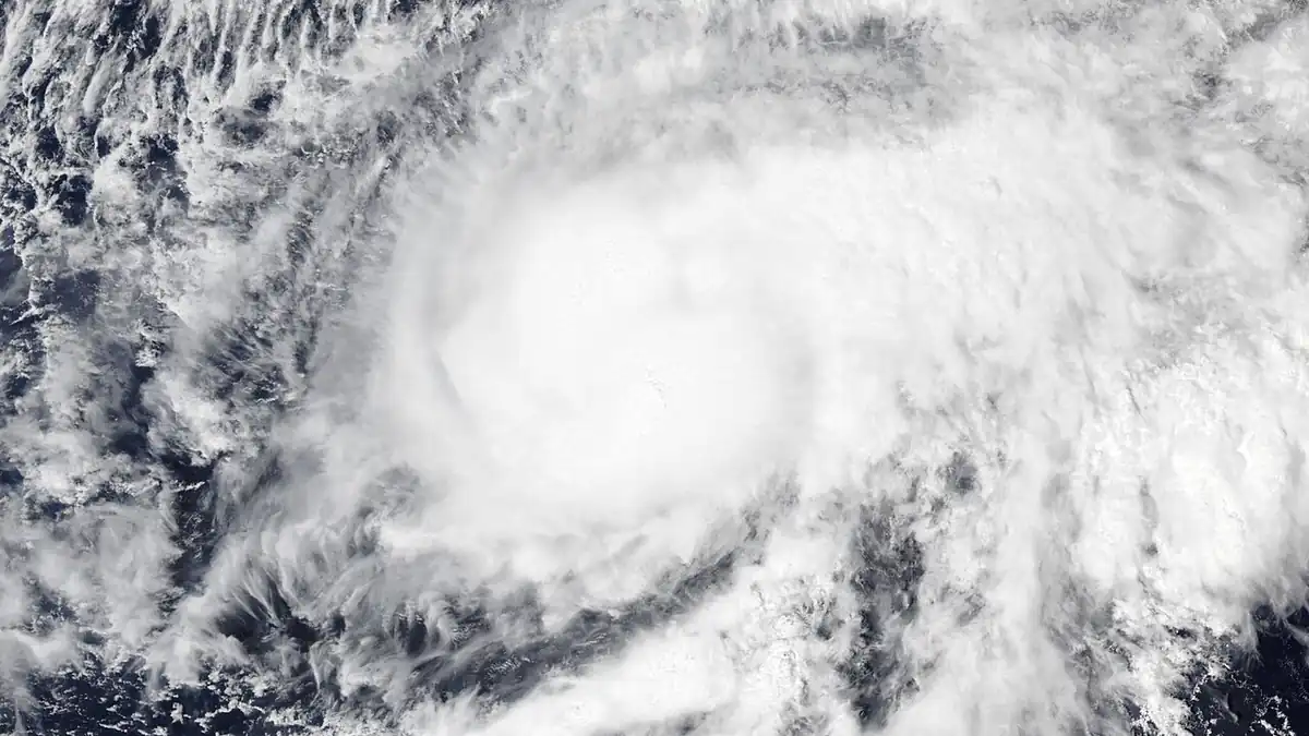
Southern California is not in the path of Hurricane Rachel. The storm will stay hundreds of miles offshore and never make landfall. But Rachel is already sending powerful ocean swells toward San Diego, Orange, and Ventura county beaches — and those swells create genuine danger even on a clear, sunny day.
Where Rachel Is and Where It's Heading
As of October 7, the National Hurricane Center placed Rachel approximately 800 miles west of the southern tip of Baja California, with maximum sustained winds of 80 mph. No coastal watches or warnings are in effect for any US landmass. The cold California Current — with water temperatures well below 70°F — and strong upper-level wind shear will prevent Rachel from maintaining tropical storm intensity as it approaches the Baja peninsula. The storm will weaken and dissipate well south of the US border.
What will arrive in California is not wind or rain. It is swell energy. Rachel's forward speed has slowed to approximately 8 knots off Baja, which turns the storm into a sustained wave generator. Long-period swells — running 16 to 18 seconds between wave sets — carry enormous underwater kinetic energy and travel thousands of miles without losing much force.
Southern California coastal residents and visitors must prepare for dangerous surf and localized flooding even though Hurricane Rachel will not make a direct terrestrial landfall. South-facing beaches will see breaking waves reaching 6 to 10 feet, with locally higher sets. Severe rip currents will form during morning high tides. Beachgoers should stay out of the water entirely, boat owners should check marina mooring lines, and property owners along low-lying seawalls should secure barriers against significant beach erosion.
Why Offshore Storms Still Endanger California Beaches
The absence of a coastal watch or warning does not mean normal beach conditions. A hurricane can remain hundreds of miles offshore while its wave energy reaches coastlines far away — a physical property of long-period ocean swells that standard weather alerts don't always communicate clearly.
The swell peak is expected to align with the perigean morning high-tide cycle. That timing increases the probability of water reaching and breaching coastal boardwalks at Imperial Beach and Oceanside. San Diego County Lifeguards have issued warnings advising swimmers to stay out of the water entirely at south-facing breaks, citing life-threatening structural rip currents. Sea caves and exposed bluff bases along the Del Mar and Encinitas corridors face elevated wave impact risk.
Rachel's behavior near Baja is the key variable. Slowing storms generate heavier swell energy over a longer period than fast-moving ones. That makes Rachel's current offshore track more dangerous to California beaches than a storm moving quickly northward at full speed would be.
Will Hurricane Rachel make landfall in California?
No. Cold ocean temperatures and atmospheric wind shear will weaken and ultimately dissipate Rachel hundreds of miles south of the California coast. The hazard is entirely wave-based: powerful long-period swells, dangerous rip currents, and coastal flooding at low-lying beachfront areas during high-tide windows. Follow NWS San Diego and local lifeguard advisories for specific beach and marina conditions.
Watch NWS San Diego's coastal hazard messages and NHC advisory updates for any changes to Rachel's track or intensity. Swell conditions are expected to peak Thursday morning and gradually ease by the weekend.