Sonali Tiwary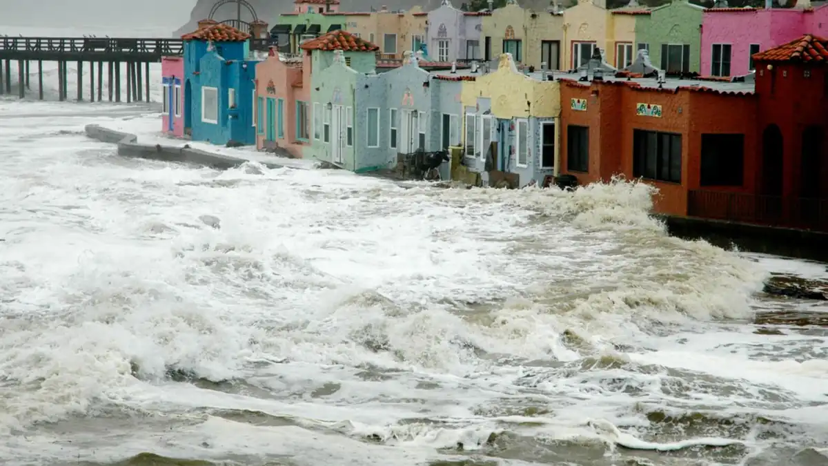
If you live on or near the California coast, a large-scale ocean phenomenon is heading your way this fall that most people don’t know how to think about. A Pacific Kelvin wave is moving toward the US West Coast as a strong El Niño develops, and California’s governor has already declared a state of emergency to prepare for what officials described as a potentially historic season. The wave can temporarily elevate sea levels by several inches to locally around a foot in some locations — and that additional height changes flood risk calculations for coastal communities.
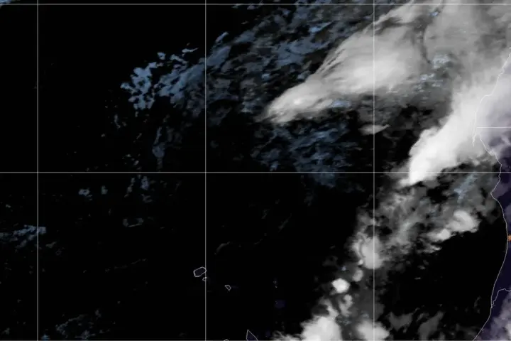
A Kelvin wave is a slow-moving pulse of warm water that travels eastward across the Pacific Ocean during El Niño events. It spans thousands of kilometres and moves primarily below the ocean’s surface. When it reaches the West Coast, it becomes a coastally trapped Kelvin wave — a feature NOAA specifically monitors because it can temporarily raise sea levels along the coastline. NOAA’s Fisheries division has confirmed it is actively tracking El Niño indicators for the current season, including these wave features on the US West Coast.
A temporary sea-level increase can worsen flooding when it coincides with high tides, waves or storms. It shifts the threshold at which ordinary events — a winter storm, a king tide, a large swell — become flooding events. Streets that drain normally under a standard high tide no longer do. Low-lying areas that rarely take water can start to. For California’s coastline, a Kelvin wave arriving during peak winter storm season adds a layer of risk onto an already elevated baseline.
Governor Gavin Newsom declared a state of emergency on 21 September 2026 to prepare for what the state described as a potentially historic El Niño season. The declaration enables California to pre-position emergency resources and take preparedness steps before conditions deteriorate.
What El Niño Does to California's Coast
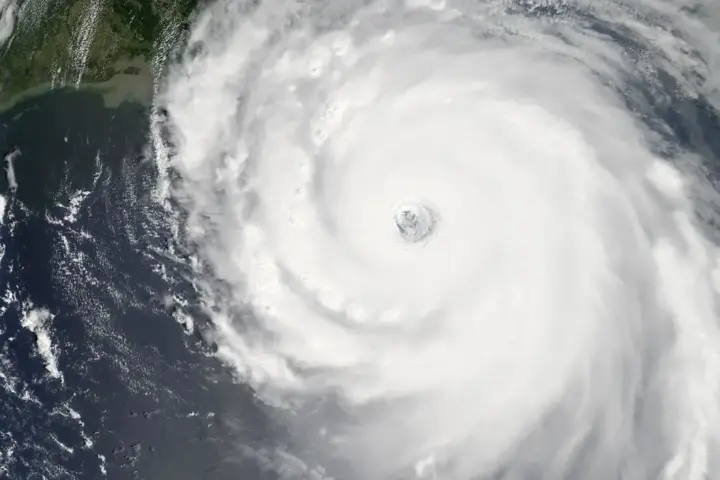
El Niño is a periodic warming of the central and eastern Pacific Ocean that reconfigures global weather patterns. For California, El Niño conditions typically bring wetter winters in the south, stronger storms along the coast, and elevated flood risk for rivers, creeks and coastal-zone properties.
California officials are preparing for a potentially very strong 2026–27 El Niño event. The California Coastal Commission notes that strengthening El Niño conditions can add periodic sea-surface-height increases and increase the vulnerability of low-lying coastal areas during the period of impact. The combination of Kelvin wave sea-level rise on top of winter storms on top of long-term background sea-level rise creates layered risk that is harder to manage than any single factor alone.
This layering is what often gets lost in reporting on individual phenomena. The Kelvin wave is temporary — lasting weeks to months depending on the event. But “temporary” only helps if there are no major storms during those weeks. If a strong atmospheric river makes landfall while the Kelvin wave is still elevating sea levels, the combined risk of coastal flooding is higher than during a standard winter storm.
The Background Sea Level Already Rising
The California Coastal Commission notes that the state’s shoreline faces ongoing background sea-level rise separate from El Niño. The Kelvin wave effect is an acute event on top of a chronic problem. Communities that have adapted planning and infrastructure to historical flood levels are now facing baseline conditions that those plans didn’t account for.
Low-lying coastal areas identified by the Coastal Commission as facing elevated risk during El Niño conditions include parts of San Francisco Bay, the Los Angeles Basin coast and the Central Coast.
What Coastal Residents Should Do Now
California’s Office of Emergency Services recommends coastal residents in flood-risk zones review their insurance coverage before winter. Standard homeowners insurance typically does not cover flood damage — that requires separate flood insurance, often through the National Flood Insurance Program. New NFIP policies generally take around 30 days to process, subject to policy rules and exceptions, so waiting until a storm is forecast is too late.
Residents should also understand their evacuation routes and confirm that local emergency alerts are enabled on their phones. The governor’s emergency declaration makes additional preparedness resources available through county offices of emergency services. NOAA’s National Ocean Service publishes daily tide predictions that can help track conditions at specific coastal gauge stations.
For broader context on [how El Niño has historically affected California’s coast and infrastructure](/california-el-nino-history) and [what sea-level rise projections mean for West Coast properties over the next 20 years](/sea-level-rise-california-projections), both topics have additional background on Karmactive.
Frequently Asked Questions
What is a Kelvin wave? A Kelvin wave is a large-scale pulse of warm ocean water that travels eastward across the Pacific during El Niño events. It moves mainly below the surface and can temporarily raise coastal sea levels by several inches to locally around a foot when it reaches the US West Coast. NOAA is actively tracking El Niño indicators, including these wave features, heading toward California this fall.
Can a Kelvin wave cause flooding in California? A Kelvin wave raises the baseline sea level temporarily. That alone doesn’t cause flooding, but a sea-level increase can worsen flooding when it coincides with high tides, storm surge or large swells during that period. Low-lying coastal areas face a higher combined flood risk while the elevated sea level persists.
How strong is the 2026 El Niño? Officials are preparing for a potentially very strong 2026–27 El Niño. California’s governor declared a state of emergency in September 2026, and NOAA is monitoring multiple El Niño indicators including coastally trapped Kelvin waves arriving on the West Coast.
NOAA and California’s Coastal Commission will continue publishing updated sea-level and coastal-risk data through the season. Check back here as conditions develop and new coastal data is released this winter.