Sonali Tiwary
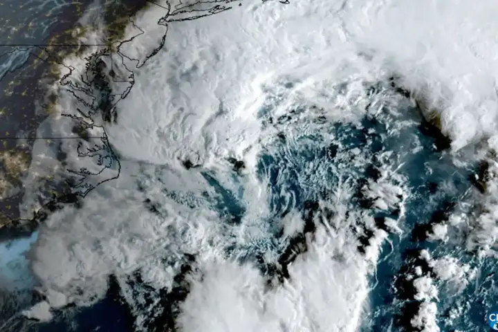
An area of disorganized low pressure in the southwestern Gulf of Mexico was being monitored by the National Hurricane Center on October 5. No tropical cyclone has formed. The disturbance is associated with a broad area of tropical moisture that could bring heavy rain to parts of the Gulf Coast regardless of whether the system ever earns a name.
The National Hurricane Center placed development odds at 10% over 48 hours, rising to 50% within seven days. The disturbance is located near the Bay of Campeche and is forecast to drift north-northeastward through midweek. If the system develops a confirmed closed low-level circulation with sustained winds reaching 39 mph, it would be designated Tropical Storm Isaias, the next name on the 2026 Atlantic hurricane season list. Winds at 38 mph or below with a closed circulation would produce only a tropical depression.
For residents and businesses between southeast Texas and the Florida Panhandle, no evacuation or storm-shutter decision should be based on this article alone. Residents should follow local emergency-management and National Weather Service guidance. Tropical moisture could bring periods of heavy rain and hazardous marine conditions to parts of the Gulf Coast from Wednesday — review flood plans, check drainage, and monitor NHC outlooks for updates.
What Forecasters Are Watching in the Gulf
Gulf water temperatures are providing thermal energy that is helping the system remain active. That moisture could come down as heavy rain across the northern Gulf Coast even if upper-level wind shear prevents a defined tropical cyclone from forming.
A stalled frontal boundary draped across Louisiana and southern Mississippi could channel tropical moisture inland. Houston and the upper Gulf Coast carry documented flooding exposure during slow-moving moisture events and face elevated risk from Wednesday onward even if no tropical depression forms.
The track question remains genuinely open. Computer models can only generate a reliable forecast cone after a low-level circulation center forms. Before that happens, storm-track maps circulating on social media are based on hypothetical centers, not observed data. NHC can issue outlooks and discussions for a disturbance before formation, and can also issue a Potential Tropical Cyclone advisory when a disturbance has not yet become a tropical depression but poses an imminent threat to land. A standard forecast cone is generally issued once a tropical depression or named storm forms.
The next name on the 2026 Atlantic list is Isaias. A system earns that name only when forecasters confirm a closed surface circulation with sustained winds of 39 mph or higher. At 38 mph or below with a closed center, the designation is tropical depression. Neither threshold had been reached in the southwestern Gulf as of Monday.
The NHC issues tropical weather outlook updates four times daily: 2 a.m., 8 a.m., 2 p.m., and 8 p.m. Eastern. Check back for updates when the next NHC advisory upgrades development odds or a low-level center forms.
National Hurricane Center outlooks
the 2026 Atlantic hurricane list