Sonali Tiwary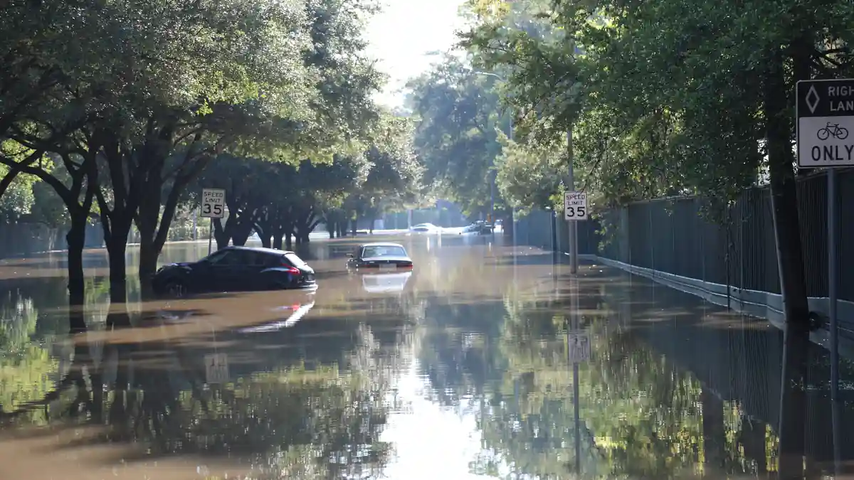
Drivers and homeowners across the Greater Houston area and southeast Texas faced elevated flash flood risks as a slow-moving frontal boundary pushed heavy rain from the Hill Country into urban drainage basins. The National Weather Service Houston/Galveston office issued a Flood Watch covering Houston and surrounding counties through 7:00 p.m. CDT Friday, October 2. The Flood Watch cited in earlier reports expired at 7 p.m. CDT Friday; residents should consult the latest NWS Houston/Galveston bulletin for any continuing watch or warning.
The NWS Weather Prediction Center identified the stalled frontal system as the primary rain driver, with organized storm activity moving from the Texas Hill Country eastward toward the I-10 corridor and Houston metro. Flood-watch conditions covered Harris County and a broad surrounding area of southeast Texas. The Hill Country — particularly the Guadalupe and Colorado river basins upstream of Austin and San Antonio — received rain from earlier storm activity, saturating soils and accelerating runoff into river systems that drain toward the Gulf. Houston’s bayou network, including the White Oak and Buffalo Bayous tracked by the Harris County Flood Control District, is being monitored as the heaviest cells move closer to the urban core.
A stalling frontal system brings elevated flash flood risks from the Texas Hill Country to the Houston metro area. While the region needs rain, localized heavy rain could overwhelm street drainage and turn rural creek crossings impassable within minutes. Avoid traveling through standing water on feeder roads and low-water crossings, and monitor local bayou gauge levels closely if your neighborhood has flooded before.
The most important safety rule in any Texas flood event remains consistent with every prior storm: do not drive through water-covered roadways or low-water crossings. It takes only six inches of fast-moving water to knock an adult off their feet and 12 inches to float most passenger vehicles. The Harris County “Turn Around, Don't Drown” barriers are deployed at known high-water locations.
Rainfall totals of 2 to 4 inches across the metro area may sound manageable, but the risk comes from storm training — when multiple thunderstorm cells track along the same corridor and dump rain in the same locations repeatedly.
Houston residents with experience from previous catastrophic flood events know the difference between a flood watch and a flood warning: a watch means flooding is possible in the specified area; a warning means it is occurring or imminent in a specific location. Track NWS Houston/Galveston real-time bulletins for updated timelines as the boundary continues moving east.
The frontal system is expected to push offshore by Sunday morning. Check NWS Houston for the latest Flood Watch or Warning status as storms develop.