Sonali Tiwary
 Rahul Somvanshi
A magnitude 7.7 earthquake struck off the coast near Ende, Flores, on August 15, 2026. The quake killed 47 people, with 9,290 displaced. Shortly after, a mysterious phenomenon emerged: black material surfaced in a volcanic crater lake known locally as Ta’i Sano, causing widespread concern despite experts classifying it as a natural seismic response.
## The Science Behind Ta’i Sano
The black material is elemental sulfur, produced by a well-understood mechanism. Seismic shaking unclogged submerged hydrothermal vents in Sano Nggoang crater lake in West Manggarai district. Deep magmatic fluids—rich in hydrogen sulfide (H₂S) and heavy metals—surged to the surface. When H₂S contacted oxygen in the water and air, it oxidized to sulfur and sulfuric acid. Water pH dropped to 3.17, measured in samples collected after the quake. Sulfate and hydrogen sulfide were detected in chemical analysis. The phenomenon is not new: geological records show similar events after previous seismic activity in the region.
## Tectonic Context and History
The Flores Thrust, the fault that ruptured, is a remarkable geologic feature. While the Australian plate pushes north under the Java Trench, the Flores volcanic arc thrusts back south—a backthrust. The August 2026 event reactivated the same structure responsible for the devastating 1992 magnitude 7.7 Flores earthquake, which killed over 2,000 people and generated a much larger tsunami. BMKG director Wijayanto stated: “Flores Thrust fault will remain active up to three weeks,” indicating an elevated aftershock risk.
## Unaddressed Health Risks
The hydrogen sulfide released poses a potential occupational and public health hazard. At pH 3.17, the lake water is corrosive and acidic. Heavy metals—trapped for years in the hydrothermal system—leached into the water column. H₂S is acutely toxic at high concentrations and can cause olfactory fatigue at lower levels, dulling a person’s ability to sense ongoing exposure. No public health advisory was issued regarding the crater lake’s temporary contamination, and no closure notices reached nearby villages.
## Why the Tsunami Was Small
Despite a magnitude 7.7 rating, the tsunami was remarkably small. Maximum modeled wave height reached 1.61 meters; observed gauge readings at Labuan Bajo showed only 0.3 meters. The reason: backthrust geometry. The 29-degree dip angle limits vertical seafloor displacement, producing mostly horizontal motion. By contrast, the 1992 event rupture geometry generated waves up to 26 meters high.
## Casualties and Disaster Response
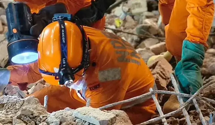
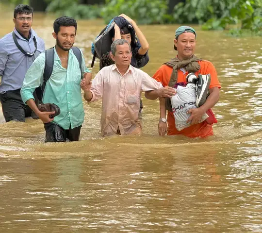
Official figures listed 47 deaths initially, rising to 68 by August 17. About 2,403 homes were damaged. Roads connecting Ende and Nagekeo districts were cut by landslides, hampering aid delivery. Hospitals in Ende and Maumere were evacuated. The central government dispatched 50,000 food packages; fuel and liquefied petroleum gas supplies were restored to affected areas.
## Ongoing Monitoring
The eruption of Ta’i Sano is a recognized consequence of seismic activity in the region. Water chemistry and sulfur concentrations remain subject to continued monitoring. The Flores Thrust continues to pose seismic hazard, as shown by recurring ruptures separated by decades. Further investigation into historical records may yield additional examples of this phenomenon.