Karmactive Staff
India's Meteorological Department has issued heavy and extremely heavy rain warnings for multiple northern states covering September 27–28. Uttar Pradesh, Uttarakhand, Punjab and Delhi-NCR are all in active warning zones. Here's what the official IMD forecast shows and which areas face the highest risk.
The India Meteorological Department issued sub-division-wise warnings on September 26 for the September 27–28 period. Eastern Uttar Pradesh is under a heavy rain warning for September 27. Western UP faces a very heavy rain warning the same date. Uttarakhand is under an extremely heavy rain warning on September 27 — the IMD's highest rainfall intensity classification, defined as exceeding 204.4 mm in 24 hours — followed by a heavy rain warning on September 28. Punjab is under a heavy rain alert for September 27. Delhi, Haryana and adjacent areas fall within the broader warning zone.
The forecast shows the alerts easing sharply: several areas that carry significant warnings on September 27–28 show no comparable IMD warning from September 29 onward in the current forecast window.
Affected Areas and the Risk Breakdown
Uttarakhand carries the most severe IMD classification in this batch. Extremely heavy rainfall in Himalayan terrain drives elevated risk of slope failure and highway disruption on mountain routes. The Char Dham Yatra pilgrimage has been suspended in Uttarakhand due to the weather warnings, while authorities in Uttar Pradesh confirmed six deaths in Lakhimpur Kheri, Amethi and Barabanki districts in connection with the weather events.
For Uttar Pradesh, eastern and western divisions both carry active warnings on September 27. River basin areas in eastern and western UP carry elevated risk during the September 27 warning window when upstream Himalayan rainfall coincides with plains-level rain.
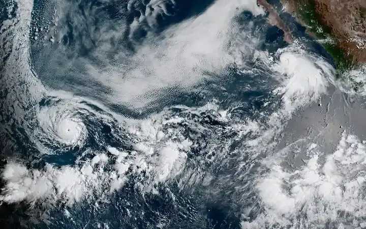
A depression over northeast Madhya Pradesh and adjoining north Chhattisgarh, moving north-northwestward, combined with a Western Disturbance influencing the Himalayan region, has contributed to the delayed monsoon withdrawal pattern and produced the warning intensity seen in the current IMD bulletin.
The sharp time boundary in the forecast is the practical planning signal: conditions across these states carry official warnings for a 48-hour window, with current forecasts showing easing from September 29. That pattern is consistent with a system moving through rather than an extended multi-day event, but the IMD forecast will be updated as conditions develop.
Commuters on Himalayan highway routes should check current road status before travel on September 27. Agricultural workers in harvest-ready paddy areas of eastern UP face crop damage risk from standing water if drainage is insufficient during the active warning window.
The IMD forecast window covers September 27–28. Current forecasts show conditions easing from September 29, though the department will update bulletins as the system moves.