Karmactive Staff
Millions of Australians are facing a week of wild weather as a high-pressure system moves across four states, bringing fog, chilly mornings, and heavy rain in equal measure. Some states will see fog and chilly mornings, while others will be hit by heavy rain, according to the Bureau of Meteorology.
The States affected include New South Wales, South Australia, Victoria, and Tasmania. BOM issued its national weather forecast on August 17, 2026, with video forecast at 12:30pm AEST, showing showers across the south and east of Australia.
Understanding High-Pressure Systems
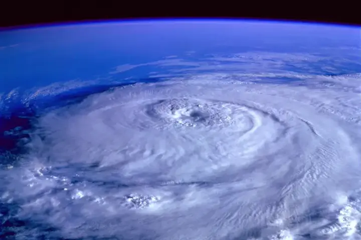
High-pressure systems typically bring stable, clear weather in summer but can cause temperature inversions in winter, trapping cold air and moisture in valleys, leading to fog and frost. When a high-pressure system interacts with low-pressure troughs or cold fronts, it can produce heavy rainfall on its edges.
Regional Impacts
Regional impacts vary across the affected states. NSW faces potential for heavy rainfall in eastern districts and fog in valleys. SA is expecting showers across agricultural regions. Victoria is bracing for heavy rain in Gippsland and Alpine regions. Tasmania is forecast for showers and chilly mornings.
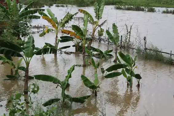
The agricultural sector faces particular challenges. Heavy rainfall can delay harvests, waterlog crops, and create conditions for fungal diseases. Fog and frost can damage sensitive crops like grapes, berries, and vegetables. Catchments already saturated from previous rainfall events are at higher risk of flooding.
High-pressure systems of this scale are not uncommon in late winter and early spring, but their intensity and duration are increasing—a pattern consistent with climate change projections for southern Australia. The BOM continues to monitor the situation and will issue updated forecasts as the system develops.