 Rahul Somvanshi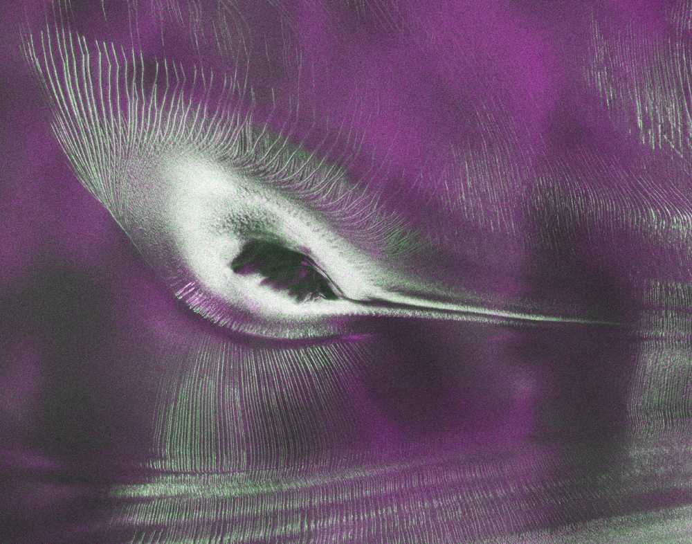
A mountain poking through Antarctic ice doesn’t normally make headlines. But when a $1.5 billion radar satellite looked down at a remote corner of East Antarctica and sent back an image shaped unmistakably like a hummingbird in flight, scientists took a second look — not just at the shape, but at what it tells them about how ice moves.
The image was produced using data from NISAR (NASA-ISRO Synthetic Aperture Radar), a joint satellite mission between the United States and India. It captures a mountaintop called Nunatak Zaterjavshijsja in East Antarctica, jutting up through a glacier that flows northeast toward the ocean. The mountain’s ridgelines, combined with the pattern of cracked ice spreading out around it, form an outline that NISAR scientists have nicknamed “the hummingbird.”
The image was collected in August 2025 and made publicly available on July 20, 2026, as part of NISAR’s first open data release.
What the Radar Sees That Cameras Cannot
NISAR uses SAR — Synthetic Aperture Radar — which works by sending radar pulses toward Earth’s surface and measuring the signals that bounce back. Unlike optical cameras, radar works through clouds, in complete darkness, and in all weather. For Antarctica, where overcast skies and polar nights are routine, that capability is significant.
As the glacier slides past the Nunatak obstruction, pressure builds in the ice and creates deep fractures called crevasses. In the NISAR image, these crevasses appear as sharp green lines. Smoother ice surfaces — areas where the ice is less disturbed — show up in magenta. The color differences come from how the radar signal scatters off different surface textures.
Seongsu Jeong, the signal analysis engineer who produced the image, explained what makes this kind of data useful: “First, it’s a beautiful image, with rich details of features that provide insights into how the glacier is moving. Then, because radar can often see through snow and deep into the ice, NISAR can observe fundamentally different properties of Antarctic ice than can be seen in optical imagery.”
That ability to look into the ice, not just at it, is one of NISAR’s most important capabilities for polar science.
About the NISAR Mission
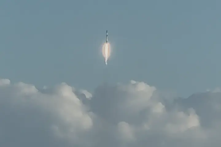
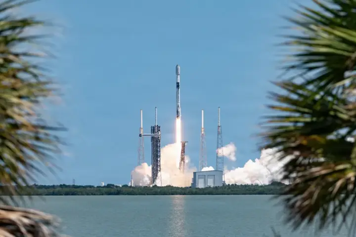
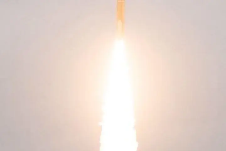
NISAR launched on July 30, 2025, from India’s Satish Dhawan Space Centre aboard an Indian GSLV-F16 rocket. It is a joint project between NASA and the Indian Space Research Organisation (ISRO), and at an estimated cost of $1.5 billion, it is the most expensive Earth observation satellite ever launched.
The satellite carries two radar instruments: an L-band radar with a wavelength of about 25 centimeters, contributed by NASA, and an S-band radar at about 10 centimeters, provided by ISRO. NISAR is the first Earth-observing satellite to use both types simultaneously. The satellite scans the entire globe roughly every 12 days, collecting data in all weather conditions, day and night.
ISRO declared the start of NISAR’s science phase in November 2025. The July 20 data release marks the first time the satellite’s radar observations have been made freely accessible to researchers and the public, with NASA and ISRO processing files from both radar bands on an ongoing basis.
Why Antarctica Is the Focus
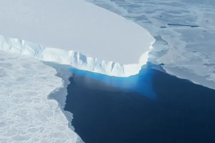
Antarctica has been losing ice at an accelerating rate, with direct implications for global sea levels. Monitoring how individual glaciers move and fracture requires tools that can work continuously across a continent-sized ice sheet, regardless of season or weather.
NISAR’s data will support research into glacier retreat, ice sheet dynamics, and other environmental changes. The satellite is also designed to track land movement, monitor forests and wetlands, and help with disaster response for events like landslides and earthquakes — making it one of the most broadly capable Earth observation platforms currently in orbit.
The hummingbird shape is the result of geography, ice physics, and radar wavelength — nothing more. But the fact that a satellite can now look into Antarctic ice, map its fractures in detail, and send that data to researchers worldwide within months of first observation marks a measurable step forward in how Earth’s polar regions can be watched.