Karmactive Staff
Estimated reading time: 3 minutes
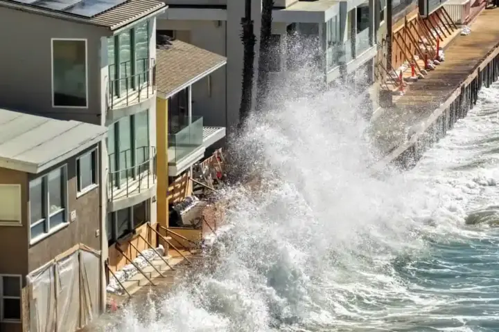
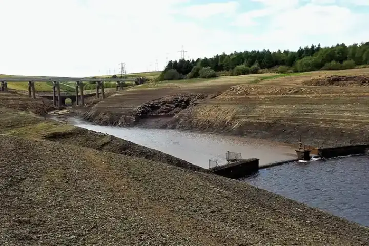
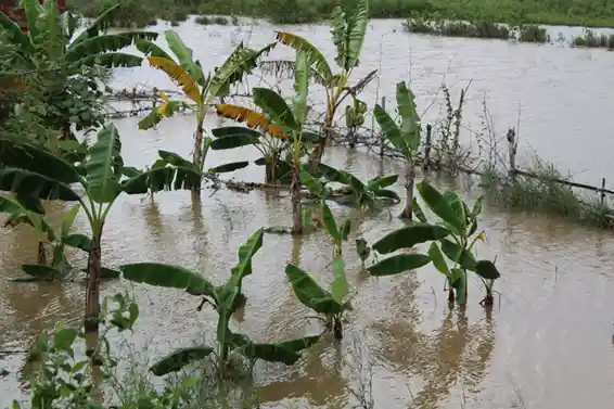
Britain’s weather has turned dangerously volatile. After weeks of record-breaking heat that left gardens cracked and reservoirs depleted, the UK now faces a radical reversal: Heavy showers and thunderstorms bring flash flood risk to UK — sweeping across northwest England, Northern Ireland, and southern Scotland this week.
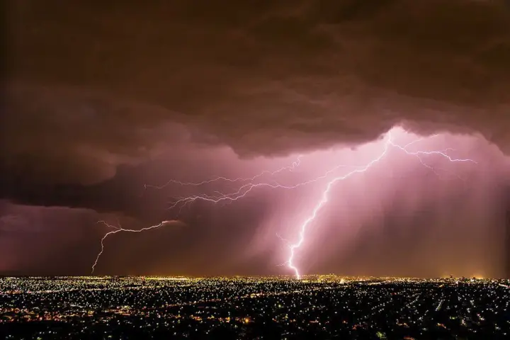
The collision is unforgiving. When saturated tropical air meets cooler systems moving south, the atmosphere becomes unstable, triggering convective storms that deliver intense rainfall in short bursts—exactly the opposite of what drought-stricken landscapes can handle. The Met Office has issued explicit alerts for the period beginning Tuesday through Thursday, with widespread showers, hail, and lightning creating genuine flood risk in vulnerable areas.
Why This Storm Is Different From Drought Conditions
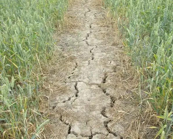
The real danger lies in the ground itself. After prolonged heatwave conditions, soil becomes hydrophobic—essentially water-repellent. When thunderstorms deliver heavy rainfall rapidly, water cannot infiltrate quickly enough. Instead, it beads up and flows laterally, overwhelming drainage systems and turning streets and fields into temporary torrents. Meteorologists call this the “drought-to-deluge” pattern, and it’s becoming increasingly common as climate volatility intensifies.
“The soak-hardened ground cannot absorb the rain,” explains the Met Office. This simple fact transforms necessary precipitation into a hazard. River valleys that were bone-dry three weeks ago could experience flash flooding by Thursday evening.
Immediate Safety Concerns
The Environment Agency has activated emergency protocols. Residents in flood-prone areas should check gov.uk/flood for local flood alerts, avoid driving through submerged roads (water deeper than 30cm can sweep vehicles away), and secure outdoor items that could become projectiles in high wind gusts.
Emergency services across Cumbria, Lancashire, and other at-risk regions have pre-positioned response teams and sandbag stockpiles. Evacuation plans for vulnerable communities in river valleys are being reviewed and updated.
Broader Impact: Infrastructure Under Strain
Commuters and holiday travelers face real disruption this week. Flash flooding typically triggers rail delays, road closures, and flight cancellations. Charging devices, stocking emergency supplies, and monitoring live forecasts through Tuesday evening are practical steps that could avoid hours of unexpected delays.
The Environment Agency has activated emergency flood response protocols across at-risk regions—a recognition that infrastructure designed for a more stable climate no longer meets current weather extremes. Officials acknowledge, however, that adaptation is struggling to keep pace with the accelerating scale of volatility.
The Bigger Picture
This week’s UK thunderstorms and heatwave-to-deluge transition represent the emerging climate normal: wet gets wetter, dry gets drier, transitions happen faster. The north and northwest bear the brunt this week, while the southeast—which escaped the worst summer heat—may again miss rainfall entirely. For a nation where water authorities imposed hosepipe bans just days ago, the irony is stark but unsolvable without investment in water storage and resilience infrastructure. The Environment Agency recently unleashed £1.4 billion in flood investment to protect homes and businesses—a response to the growing pressure on the UK’s aging drainage infrastructure.
Stay alert, stay prepared, and heed official warnings. The Met Office has rarely been more explicit about flash flood risk. When weather systems collide at this intensity, preparation makes the difference between disruption and disaster.