Sonali Tiwary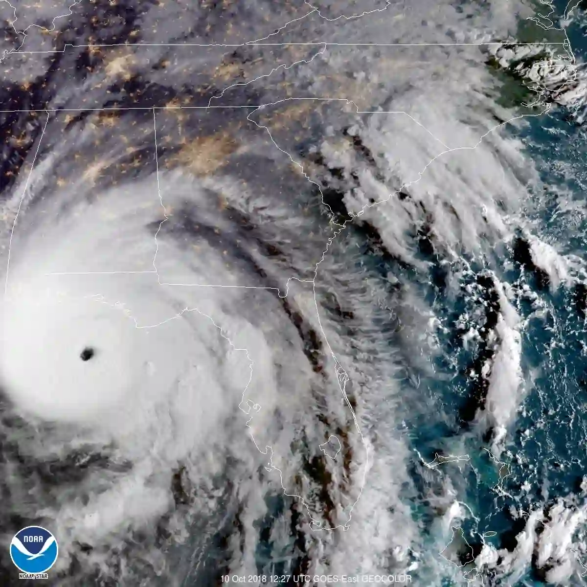
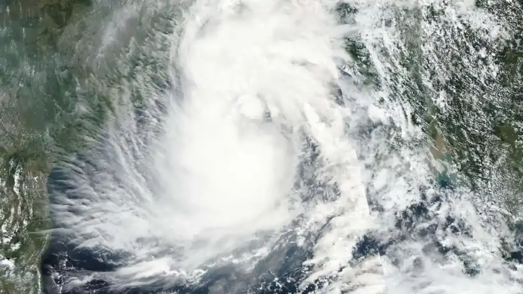
The National Hurricane Center is tracking a broad low-pressure disturbance in the southwestern Gulf of Mexico with a 60% chance of developing into a tropical cyclone within 48 hours and an 80% chance within seven days, with a tropical depression likely to develop by mid-week. If it achieves tropical storm status, it will be designated with the next available name on the 2026 Atlantic list.
The Tropical Storm Isaias Gulf of Mexico system is currently located in the southwestern Gulf region. The NHC’s current assessment indicates it is too early to determine specific impacts on the northern Gulf Coast; early model guidance shows possible northward or northeastward movement, but the cone of uncertainty remains large. Track guidance could shift significantly within the next 24 hours, and any specific city forecast at this stage would be premature.
If you live along the Gulf Coast from Louisiana through the Florida Panhandle, review your hurricane emergency plan and check stormwater drainage around your home now. Even if wind shear prevents this system from developing into a named storm, a deep tropical moisture plume ahead of the low is already moving toward the northern Gulf Coast. Heavy rain bands could create flash flood hazards and rough marine conditions beginning midweek. Secure outdoor equipment, confirm generator readiness, and stay out of low-lying flood-prone areas when rain arrives.
Steering Currents and Rainfall Risks
Two factors will determine whether the system intensifies or falls apart before landfall. A cold front moving in from the northwest carries wind shear—the disruption of vertical wind flow that prevents tropical systems from building organized circulation. If the front arrives before the system closes off a distinct center, it will likely dissipate the disturbance. If the system develops that center first, the same front may steer it toward the northern Gulf Coast and accelerate its onshore push.
Regardless of official classification, the atmospheric setup is producing a dangerous rainfall scenario. A stationary frontal boundary across the northern Gulf states will act as a collision zone between tropical moisture moving north and cooler continental air moving south. That interaction can produce significant rainfall across a narrow coastal band—independently of whether any closed wind circulation ever develops around the low.
Tropical rainfall begins arriving before any named storm eye. Do not wait for a named storm track before taking preparation steps.
The National Hurricane Center gives this disturbance a 60% chance of organizing into a tropical cyclone within 48 hours and an 80% chance within seven days. Models suggest possible northward or northeastward movement, with heavy rainfall and coastal flooding possible as the week progresses depending on how quickly the system organizes.
Monitor updates from your county’s local National Weather Service forecast office throughout the week. The hurricane season emergency checklist and the coastal flooding measurement guide can help you prepare for rainfall and surge impacts regardless of whether the system earns a name.