Sonali Tiwary
A magnitude 7.7 earthquake struck off the coast of Flores Island in Indonesia’s East Nusa Tenggara province in the early hours of 15 August 2026. According to Indonesia’s meteorological agency BMKG, the tremor was centred offshore near Nagekeo Regency at a depth of about 15 kilometres and was felt across the eastern part of the archipelago.
The quake triggered a tsunami warning that was later lifted after checks showed no major sea-level threat, though minor tsunamis were recorded along parts of the coastline. Dozens of aftershocks followed in the days after the main shock.
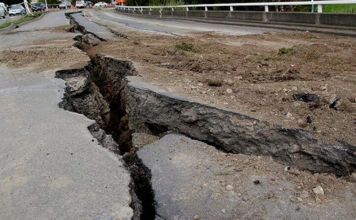
Indonesia’s National Disaster Mitigation Agency (BNPB) said at least 73 people were killed and 1,182 others were injured. The hardest-hit areas were Manggarai and East Manggarai regencies, where homes, schools, places of worship, a local airport and hotels were damaged. Thousands of residents were displaced as inspections continued.
Rescue teams worked through landslides and blocked roads to reach communities that were cut off. The scale of the response recalled earlier Indonesian earthquakes that caused heavy loss of life, and drew on the experience of disaster-response agencies across the region.
Indonesia sits on the Pacific Ring of Fire, where the meeting of several tectonic plates produces frequent and sometimes deadly earthquakes. The Flores region was struck by a far larger tsunami in 1992 that killed more than 2,000 people.
Indonesia’s deadliest recent disaster came in 2018, when a magnitude 7.5 earthquake and tsunami on Sulawesi island killed more than 4,000 people. The recurring toll has driven investment in early-warning systems and evacuation drills, though remote islands such as Flores remain hard to reach when roads and bridges fail.
The 15 August earthquake formed part of a longer pattern of destructive seismic activity across the region and reflected the continuing exposure of Indonesia’s densely populated islands to tectonic hazard.