Sonali Tiwary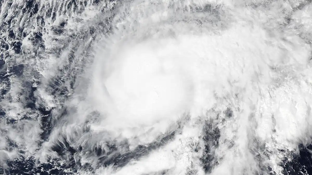
Two separate ocean events are affecting the US West Coast and Southwest desert this week, and the combination is harder to prepare for than either one alone.
The National Hurricane Center classified Rachel as a Tropical Storm in its October 8 advisory, with sustained winds of 60 knots. Rachel had reached hurricane strength earlier in the season before weakening. NWS San Diego said Rachel’s remnants are expected to increase southerly swell and bring gusty, choppy conditions along the Southern California coast. NWS Phoenix said rounds of rain are possible as Rachel’s remnants and a West Coast low interact over the region.
A NOAA-confirmed Kelvin wave is also moving northward along the North American West Coast. NOAA describes Kelvin waves as long, slow-moving underwater waves that can temporarily raise coastal sea levels—typically by several inches up to about half a foot—and warm near-surface water. They are not by themselves a direct coastal threat, but elevated baseline sea levels mean that wave energy from other sources, including the swell generated by Rachel’s circulation, reaches higher on beaches and bluffs than it otherwise would.
When tropical moisture moves over the Sonoran Desert, the desert’s terrain channels water rapidly into arroyos and low-lying urban areas. Desert soils vary in their absorption capacity by surface type, recent rainfall, and burn-scar presence. The NWS issues flash flood watches when conditions favor rapid rises in creeks, streams, and low-lying areas. Follow the watch or warning language from your local NWS office; do not rely on a fixed time estimate, as flash flood formation depends on real-time conditions.
Along the Southern California coast, the combination of elevated sea levels from the Kelvin wave and swell generated by Rachel’s remnants raises the exposure of coastal bluffs and beaches. Bluff response to wave energy varies by material, slope, and prior saturation. Remain well back from coastal bluff edges and follow any posted closures.
What triggers a flash flood watch in Arizona?
The National Weather Service issues a flash flood watch when meteorological conditions are favorable for rapid and dangerous rises in streams and low-lying areas. A flash flood warning means flooding is occurring, is imminent, or is expected based on observed conditions.
How can a Kelvin wave affect California beaches?
A Kelvin wave raises baseline sea levels temporarily along the coast. When this coincides with a high-tide phase and elevated swell, waves reach further inland than at normal sea level, increasing bluff erosion risk and reducing beach width. It is not a tsunami or a direct breaking wave; the hazard is in the baseline sea-level elevation it causes.
Does homeowners insurance cover bluff erosion?
Standard homeowners insurance typically excludes earth movement, which may include bluff erosion. Some carriers offer separate landslide or earth movement coverage as a rider in certain markets; check with your insurer and verify state availability.
Stay away from coastal bluff edges and desert wash channels. Check NHC’s Pacific track page and NWS local offices for Arizona and Southern California for current watches and warnings.
Related Karmactive coverage: California Kelvin Wave coverage California flood analysis.