6:25 PM GMT – 30/06/2025
Tropical Storm Barry, which formed June 29 in the Gulf of Mexico and lasted only 12 hours before dissipating near Tampico, has combined with earlier storm Andrea to set a modern record for the weakest Atlantic hurricane season start since 1950.
While these short-lived “shorties” continue a trend of brief storms likely influenced by improved detection technology, forecasters now warn of a potential tropical depression developing near Florida over the Fourth of July weekend, bringing 4-10 inches of rainfall across the state.
Meanwhile, the Eastern Pacific’s sixth named storm, Flossie, is rapidly strengthening south of Mexico and expected to reach Category 2 hurricane strength by midweek.
11:11 AM GMT – 30/06/2025
Uttarakhand: The washout caused by the cloudburst before Silai Band on the Barkot-Yamunotri road in the district has been repaired, while repair work to other roads affected by washouts is going on. 33 kV power line has been restored and restoration work of 11 kV line is going on. 7 workers are still missing, search is on for them by NDRF, SDRF, Police, and Revenue teams-The District Magistrate of Uttarkashi Prashant Arya.
9:01 AM GMT – 30/06/2025
8:33 AM GMT – 30/06/2025
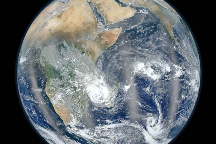
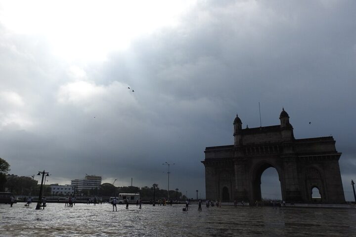
Persistent rainstorms have induced massive flooding all across Gujarat, killing at least 28 people and compelling more than 24,000 persons to flee since Sunday.
Rivers and reservoirs have breached danger levels, submerging roads and villages, especially in Saurashtra, which witnessed nonstop rainfall for some 48 hours.
Army and NDRF teams are conducting rescue ops from interior deployment, employing helicopters in the worst-affected areas. 48 trains are cancelled while transport still remains disrupted.
Crop Damage: Farmers claim huge losses to cotton and groundnut fields.
The state remains on high alert with more rainfall forecasted. Officials expect the scenario to improve by September 1 as the depression moves further northwest over the Arabian Sea.