Karmactive Staff
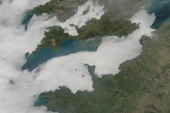
Bands of thunderstorms and heavy rain are moving across parts of England and Wales, bringing sudden downpours, lightning, and flash flooding that could disrupt journeys and damage homes. The Met Office has issued yellow weather warnings across multiple regions, which means the risk is real enough to prepare for but not grounds for panic.
The rainfall amounts matter because they determine flooding risk. In the next 24 to 48 hours, most areas under warning can expect 20-30 mm of rain within three hours. Some locations will see up to 50 mm in 12 hours. While those numbers sound technical, what they mean practically is this: intense rainfall can overwhelm drainage systems and produce surface-water flooding. Roads will flood temporarily. Drains will overwhelm. Low-lying areas may see water entering properties.
Driving in these conditions demands caution. National Highways advises reducing speed significantly, doubling your normal following distance from other vehicles, and avoiding flooded roads entirely. Many drivers underestimate water’s power. Just 30 centimeters of moving water is enough to float a typical car, and once floating, you lose steering and braking control.
Train and bus services will experience delays and cancellations. Lightning can affect railway signaling systems, causing temporary speed restrictions while infrastructure is checked. Network Rail and local transport operators will issue updates as weather develops, so check their websites before traveling.
At home, secure anything loose outside—garden furniture, bins, loose roof tiles—that wind could dislodge. Prepare a basic emergency kit with torches and batteries, because lightning can damage electrical substations and cause power cuts. If lightning becomes frequent where you are, stay inside, away from windows and electrical appliances.
The Environment Agency and Natural Resources Wales monitor river levels and flood risk continuously. Their websites show real-time flood warnings specific to your area. If you live near a river or in an area prone to surface water flooding, bookmark these pages now while you’re thinking about it—not when water is rising.
Most thunderstorms pass within hours, but the disruption they cause can last longer. Flooded roads remain closed until drainage crews clear water. Debris blocks rail lines until crews clear tracks. Planning for delays is the practical response.