Sonali Tiwary
If you're commuting on Oahu or living near a valley road on Kauai Thursday morning, conditions could shift fast. The National Weather Service in Honolulu has placed Kauai, Niihau, and Oahu under a Flood Watch through Thursday afternoon. The system driving it is already overhead, and the most dangerous window falls during the morning commute.
What the Watch Covers
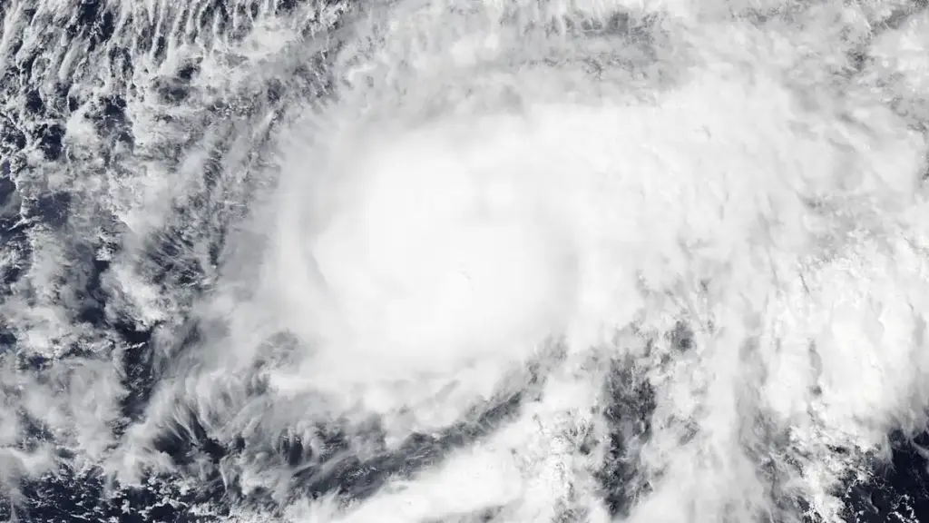
The watch covers three islands — Kauai, Niihau, and Oahu — and runs from Wednesday evening through Thursday afternoon, October 8. A slow-moving surface trough is combining with an unstable upper-level low to pull deep subtropical moisture northward over the islands. NWS forecasters expect localized rain rates of 2 to 3 inches per hour. Streams, urban drainage systems, and low-lying roadways are all at risk. Landslide threats have been flagged along steep mountain highway cuts, including the Pali Highway on Oahu and Kuhio Highway near the Hanalei hill cut on Kauai.
Residents on Oahu and Kauai must treat this Flood Watch as an active hazard to morning commutes and low-lying property. With tropical moisture anchored over mountain watersheds and ridge-top runoff accelerating, streams can overflow in minutes without advance warning. Drivers should avoid flood-prone routes like Kuhio Highway near Hanalei Bridge and stay clear of swollen drainage canals until the upper-level instability shifts eastward late Thursday.
What Makes This Event Unusual
Most coverage describes this as a standard autumn heavy-rain system. The mechanism is more specific than that.
Atmospheric soundings from NWS Honolulu show precipitable water values exceeding 2.1 inches — well above seasonal norms. More importantly, NWS forecasters noted that northeast trade winds will collapse entirely during this event. That trade wind shutdown causes storm cells to anchor over mountain ridges rather than drifting offshore quickly. The result is what meteorologists call "training" — where convective rain cells repeatedly develop and pass over the exact same terrain, stacking rainfall totals in hours rather than spreading them across a region.
USGS streamflow gauges on the Hanalei River and Waimea River are already recording elevated discharge, with potential impacts to coastal water quality as runoff carries sediment into nearshore areas.
The Hawaii Department of Transportation has issued road alerts for rockfall risk along both the Pali Highway and Kuhio Highway. The County of Kauai emergency management office has issued decrees consistent with the NWS watch.
What is the difference between a Flood Watch and a Flash Flood Warning?
A Flood Watch means weather conditions could produce flooding — residents should monitor alerts and prepare now. A Flash Flood Warning means flooding is occurring or imminent in the warned area, and protective action should start immediately. Driving into flooded roads causes more weather-related deaths in Hawaii than any other single hazard.
NWS Honolulu is expected to update the watch at 4:00 PM HST Thursday. If rain rates exceed forecasts, a Flash Flood Warning could be issued before then. Monitor NWS Honolulu, local emergency alerts, and HDOT road status during any Thursday morning travel on either island.