Karmactive Staff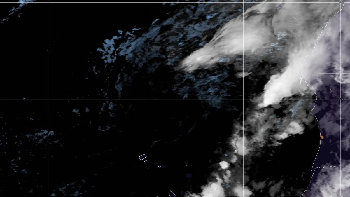
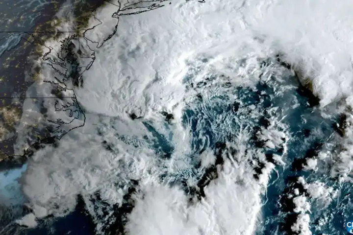
Two tropical storms that formed in the Atlantic in late September have both ended their active tropical-storm phases, according to the National Hurricane Center. Fay and Gonzalo were simultaneously active earlier this week, but coverage from September 25 noting "two active storms" no longer reflects current conditions.
What the NHC records show
The National Hurricane Center's 2026 Atlantic season record lists Tropical Storm Fay as having been active from September 19 to September 26, reaching a peak intensity of 60 knots. Tropical Storm Gonzalo was active from September 25 to September 26 at a peak of 45 knots.
Both systems' tropical-storm periods ended by September 26. Neither Fay nor Gonzalo was an active tropical cyclone as of September 27. The NHC is the authoritative US source for Atlantic tropical cyclone advisories; its published seasonal record is updated as conditions change.
What this means for coastal areas
The organised tropical cyclone threat from Fay and Gonzalo has passed as of September 27. Anyone checking earlier reports about these storms should be aware that the situation has changed significantly from the September 25 and 26 coverage that prompted many headlines. A story published around that time describing both systems as active tropical storms is out of date.
For anyone following the 2026 Atlantic hurricane season, the season has produced multiple named storms already. October is still within the active portion of the season — storms can and do form through November, though September is historically the most active month according to NOAA climatology.
What to watch next
The National Hurricane Center continues to monitor the Atlantic basin for potential development. If a new system forms or a new tropical threat develops, the NHC will issue new advisories. Check the National Hurricane Center directly — nhc.noaa.gov — for the current status of any active systems. This report will be updated if new Atlantic development produces a named storm with a US or Caribbean threat.