Karmactive Staff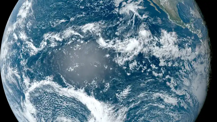
A very strong El Niño is developing in the equatorial Pacific Ocean, and that affects weather patterns across the Northern Hemisphere this winter. But what El Niño actually means is different from the dramatic “coldest winter ever” headlines that sometimes accompany this prediction.
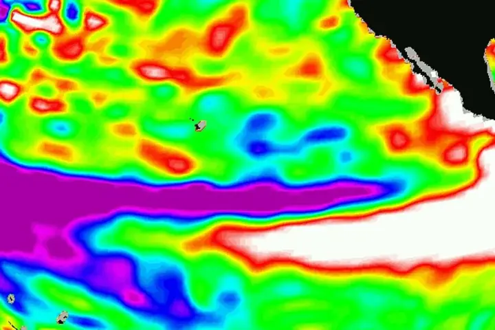
NOAA, the US weather agency, reported in September 2026 that El Niño is strengthening and gave a greater than 90 percent chance that conditions will be very strong during autumn and winter 2026-27. Sea-surface-temperature anomalies in the eastern equatorial Pacific are exceeding +3.0°C. That’s the trigger for El Niño conditions.
Here’s what El Niño does to weather. It changes the odds of particular temperature and precipitation patterns. It doesn’t create a single outcome. It shifts probabilities. A very strong El Niño tends to correlate with warmer-than-average conditions in parts of the northern US, wetter conditions in some regions, and different storm track patterns.
The crucial distinction is between “changed odds” and “guaranteed outcome.” A strong El Niño increases the probability of certain patterns, but regional and month-to-month variation will still occur. Weather remains variable even during strong El Niño events.
The public confusion comes from headlines that treat El Niño predictions as absolute. “This winter will be the coldest on record” is not what NOAA says. NOAA says a strong El Niño increases the probability of certain patterns, but regional and month-to-month variation will still occur.
Seasonally, El Niño influences temperature and precipitation patterns. It affects which regions might see more precipitation, which might stay warmer, where storms are more likely. The effect varies. Some years with strong El Niño see weather patterns similar to what’s predicted. Other years diverge from the pattern.
The reason El Niño matters is practical. Farmers, utilities, and disaster preparedness teams use seasonal forecasts to prepare. But these forecasts remain probabilistic. NOAA doesn’t predict specific snowstorm counts three months away. It predicts temperature and precipitation trends and how likely they are to shift from normal.
The honest forecast is this: A strong El Niño is developing. It can increase the likelihood of characteristic impacts in particular regions. However, the strength of the event does not guarantee a particular outcome in every region. Weather remains variable, and individual months will vary from seasonal patterns.
NOAA publishes detailed regional forecasts that explain these probabilities for specific areas. That’s more useful than national headlines promising the “coldest winter ever.” The details matter, and the uncertainty is real.
The lesson is to use seasonal forecasts as guidance, not guarantees. El Niño matters. Very strong El Niño can increase probabilities of certain patterns. But weather remains variable, and no climate pattern eliminates surprise.