 Rahul Somvanshi
A powerful El Niño is building across the Pacific Ocean, and scientists say it could become the strongest one ever recorded. The National Oceanic and Atmospheric Administration forecast on August 13 shows a 70% chance that ocean temperatures will peak at levels not seen since records began in 1950. This comes as the planet grapples with rising global temperatures, making the situation more complex than past El Niño events.
El Niño occurs when warm water spreads across the central and eastern Pacific. During these periods, ocean temperatures in a key monitoring region can climb above average. NOAA expects temperatures to exceed 2.5 degrees Celsius above normal during this cycle. The agency uses a newer measurement tool called the Relative Oceanic Niño Index, which accounts for the planet’s warming background. Even with this adjustment that makes the threshold harder to reach, the current El Niño is tracking at unprecedented levels.
“We’re already at record-breaking or record-tying territory now, and we’re expected to skyrocket,” said Daniel Swain, a climate change scientist at UC. The El Niño officially began in June 2026 and is expected to peak in late fall or early winter. NOAA upgraded its outlook from “among the largest” to this stronger forecast based on rapid intensification and computer models showing a stronger peak than initially predicted.
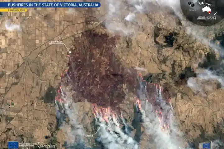
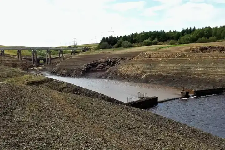
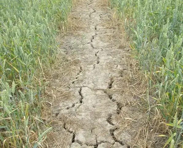
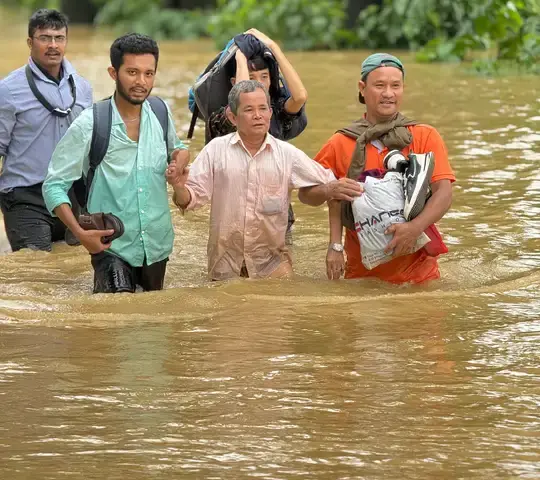
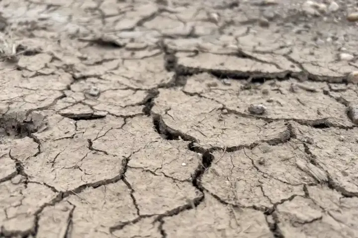
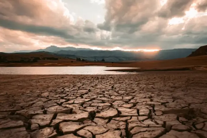
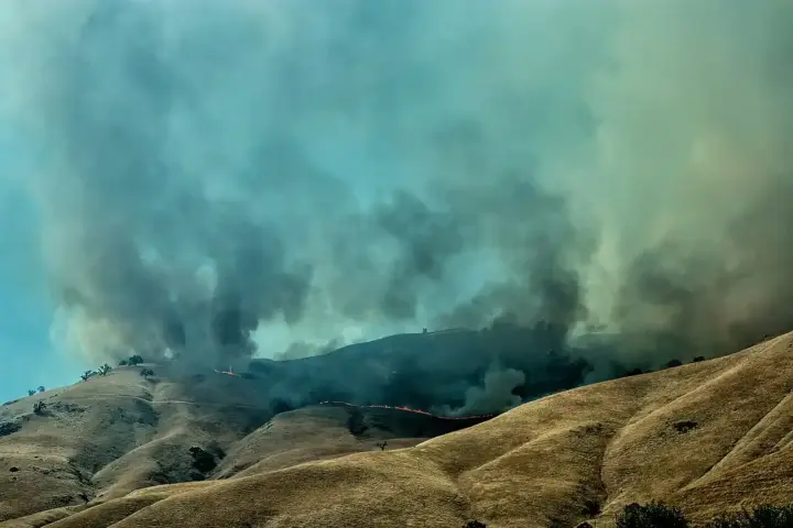
The impacts of such a powerful El Niño will ripple across the globe. In the United States, the southern tier from California to Florida can expect wetter conditions. Indonesia and Australia will likely face drier conditions. Parts of South America may experience flooding. The Pacific will see an increase in cyclone activity. In India, strong El Niño typically weakens the monsoon, which supplies most of the country’s rainfall. This threatens key crops like rice, pulses, and oilseeds, potentially driving up food prices. Australia faces a particular risk, as El Niño conditions historically bring drier eastern conditions that compound spring and summer bushfire danger.
The current situation is entering uncharted territory. Previous strong El Niños occurred in 1982-83, 1997-98, and 2015-16. None of those happened against a background climate as warm as today’s.
Weather agencies and governments are preparing for widespread disruption. Agricultural planning in vulnerable regions is already adjusting. The stakes are high because El Niño affects food production, water supplies, and severe weather patterns for billions of people.
The next few months will be critical for understanding the exact strength. Computer models continue to refine predictions, but all point toward a significant event.