Karmactive Staff
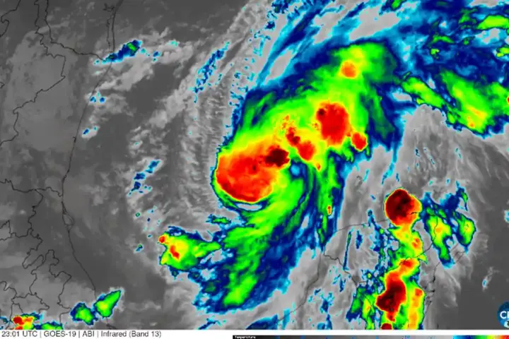
New York City and surrounding areas braced for dangerous weather on August 27 as the National Weather Service issued multiple alerts for severe thunderstorms and flooding. The region faced a Severe Thunderstorm Watch and Flood Watch with potential for localized flooding and serious weather hazards across the tri-state area.
The National Weather Service issued Severe Thunderstorm Watch 630, covering New York City, Westchester County, Nassau County, and Queens. A separate Flood Watch remained in effect until 11 p.m. EDT. The agency warned that approximately two to three inches of rain was expected, with some areas potentially receiving up to four inches. NYC Emergency Management separately forecast 0.5–1.5 inches generally, with localized totals up to 2.5 inches possible in thunderstorms.
Flash flood warnings were issued for parts of the region. Rainfall rates in thunderstorms could reach 1–2 inches per hour, creating rapid runoff conditions in areas with poor drainage.
This matters directly to people’s daily lives. Flash flood warnings mean water could rise rapidly in low-lying areas, underpasses, and basement levels. The roads most vulnerable include depressed highways, parkways, and areas with poor drainage. The National Weather Service uses a specific phrase for this danger: “turn around, don’t drown.” Six inches of moving water can knock down an adult. Twelve inches can carry away a vehicle.
The alerts distinguished between different types of warnings. A Severe Thunderstorm Watch means conditions exist for severe storms to develop. A Severe Thunderstorm Warning means a storm is imminent or happening. A Flood Watch means flooding is possible. A Flash Flood Warning means flooding is occurring or about to occur. This distinction matters because different warnings require different responses.
For residents, the practical steps were clear. Drivers should avoid standing water entirely and take alternative routes. Homeowners in flood-prone areas were advised to monitor NWS warnings and local emergency announcements.
The storm system brought the atmospheric ingredients for severe weather: warm, humid air from the Atlantic interacting with an advancing cold front creating instability. The National Weather Service provided continuous updates as conditions developed throughout the afternoon and evening of August 27. Residents were urged to monitor local news and the NWS website for updated warnings and watch status.