Sonali Tiwary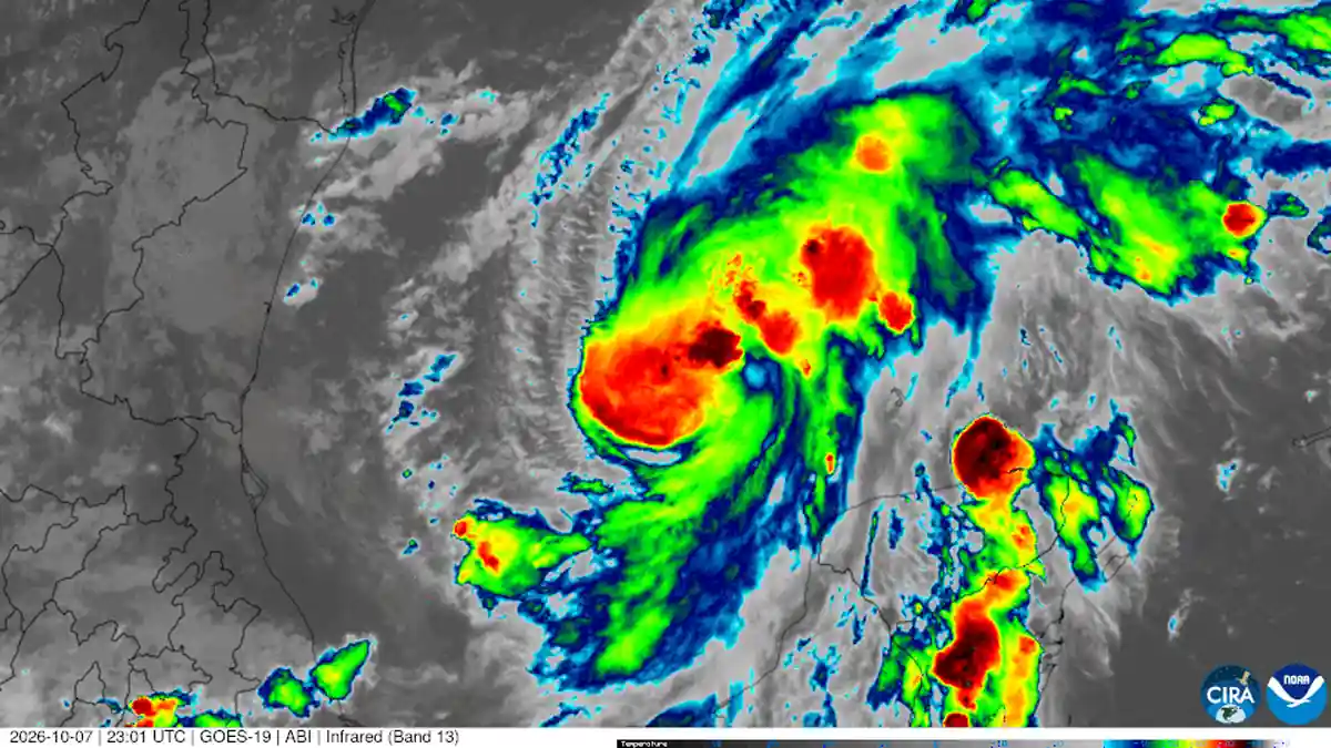
Follow-up to our 10 October report.
If you live in southern Alabama, the Florida Panhandle or southwest Georgia, a weaker storm label can feel like good news. It isn't the whole picture. Isaias has weakened to a post-tropical cyclone, but the National Hurricane Center still warns of possible flash flooding and tornadoes inland. For many homes, water and tornadoes now matter more than wind.
our earlier report covered the storm's approach to the Gulf Coast. This update covers what changed in the latest official advisory and why the risk has moved inland.
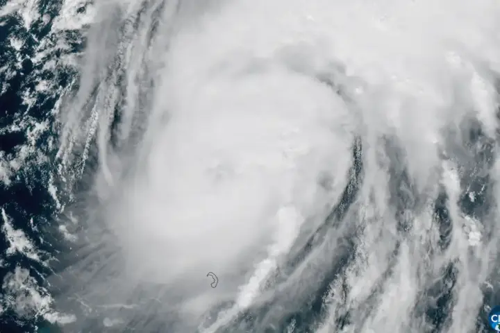
The National Hurricane Center's Advisory 14, issued at 10 p.m. CDT on Friday, 9 October, placed the storm's center over the western Florida Panhandle, about 45 miles east-northeast of Pensacola. Isaias was moving north at 20 mph. Its maximum sustained winds had dropped to near 90 mph, with a minimum central pressure of 982 millibars. The forecast calls for 4 to 8 inches of rain across southern Alabama, with localized totals up to 15 inches. Across much of the rest of the Southeast, the forecast is 2 to 5 inches, with local totals up to 10 inches.
The next advisory, Advisory 15, was issued at 4 a.m. CDT on Saturday, 10 October. It classified Isaias as a post-tropical cyclone, with its center about 25 miles south-southwest of Montgomery, Alabama, and maximum sustained winds of about 35 mph.
If you are inland, a lower wind speed does not mean the danger is over. Flash flooding can strike far from the coast. Advisory 15 said a risk for tornadoes would persist through the morning and afternoon of 10 October across parts of the eastern Florida Panhandle, Georgia and the Carolinas. Use your local National Weather Service office for watches and warnings. The hurricane category will not tell you whether your road is safe.
What to do now
Do not drive through flooded roads, even if the water looks shallow. Moving water can carry a car away, and the road under it may be missing. Keep your phone able to receive wireless emergency alerts, and have a plan to reach higher ground if your street begins to flood.
Think of the wind as the storm's engine and the rain as its cargo. The engine can slow while the cargo keeps falling. Rain bands can keep dropping heavy water long after the wind figures have dropped. That is why the flood and tornado warnings matter more than the storm's category.
The advisory separates its wind information from its rain and tornado statements. Read the rain and tornado sections first. If you are returning to a flood-affected home, photograph any water damage before cleanup begins. Your insurer may ask for those images; check your policy and your insurer's claims guidance.
Local conditions will vary from county to county. Check your county's alerts today, not the storm's national headline.
Isaias has weakened, but the risks of flooding and tornadoes remain. Check your local National Weather Service office, avoid flooded roads, and treat the flood risk as the main danger for inland homes.