Sonali Tiwary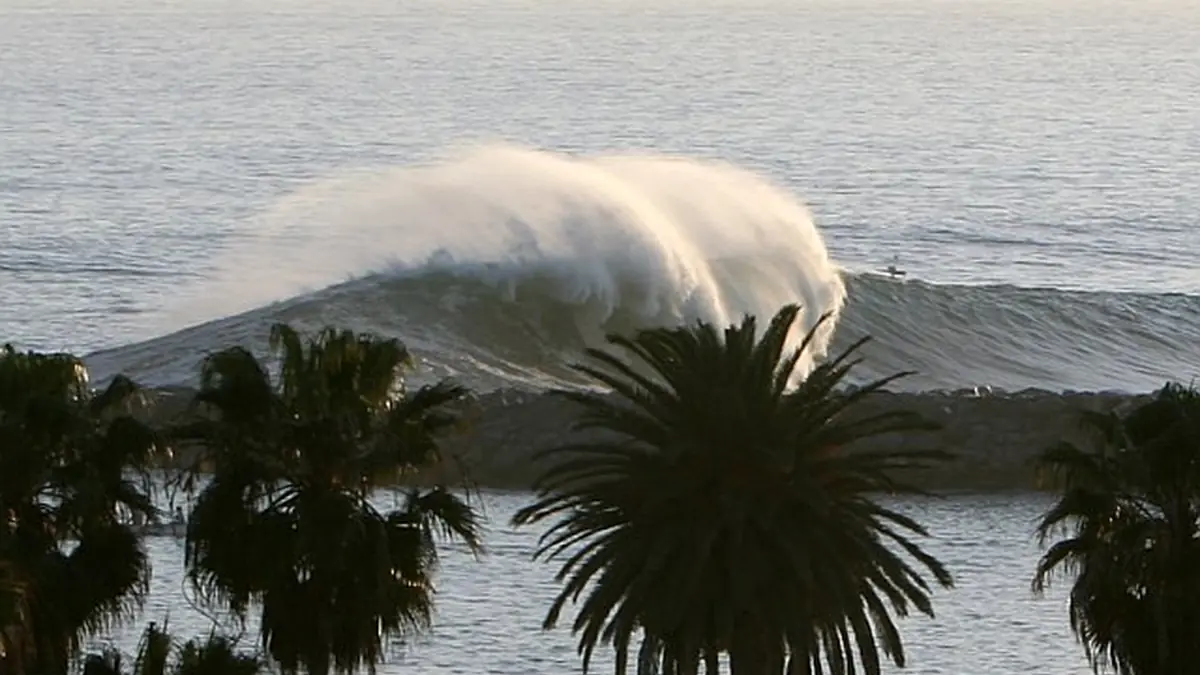
If your home or business sits on the Balboa Peninsula or the Long Beach oceanfront, seawater is reaching streets and boardwalks.
Newport Beach declared a local emergency on October 9, 2026, amid coastal flooding linked to swells from Tropical Storm Rachel and elevated tides. The National Weather Service issued a coastal flood advisory for the area. In Long Beach, high surf and elevated tides brought water onto the Peninsula.
If you live along the oceanfront in Long Beach or West Newport Beach, move ground-floor electrical equipment, furniture and vehicles to higher ground where it is safe to do so. Follow city traffic and emergency notices for road closures, as conditions change with the tide.
Why a distant storm is flooding California
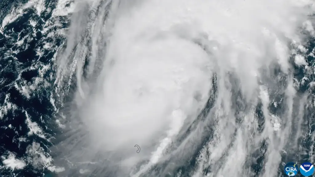
Tropical Storm Rachel is well offshore in the Pacific, but its swells can travel long distances and raise surf along the Southern California coast. When large swells arrive at the same time as high tides, water can overtop seawalls and sand berms and pool on low-lying streets.
The National Weather Service advisory lists surf of 3 to 5 feet, with sets to 6 feet, for its specified beach-hazard period. Earlier draft figures of 8-12 foot breakers, 15-foot berms, 7-10 foot forecast surf, a 6.8-foot tide, a Kelvin wave raising sea levels 4-6 inches, a 45-minute damage window, gravity-flap failures, backflow preventer failures and red-tagged structures were not verified and have been removed.
Officials will keep monitoring tide cycles through the weekend. Check back for updates.
Internal links: Southern California high surf/king tide explainer; coastal flood insurance article.
—