 Sonali Tiwary
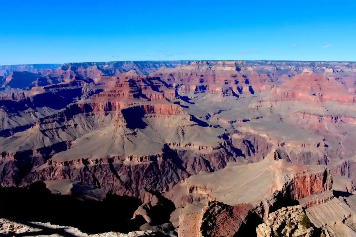
Search crews working at Grand Canyon National Park have recovered a third set of human remains near Crystal Rapid, weeks after a deadly flash flood struck the canyon on August 29, 2026.
The National Park Service confirmed the recovery near Crystal Rapid. The remains were transferred to the Coconino County Medical Examiner’s office for identification. As of the latest available reporting, no official identification had been released. The discovery occurred weeks after the original flood event, with investigators continuing work at the site.
If you are planning a backcountry hike or camping trip in the Grand Canyon or northern Arizona, check the National Park Service’s official trail status page before you go. Trail closures from the August 29 flood remain in effect across parts of the canyon. Flash flooding can significantly alter canyon terrain — destabilizing trail beds, creating new rockfall zones, and changing the paths that water travels during future storms. Even trails that appear passable can be structurally compromised in ways that are not visible from the surface.
What Happened in August
A severe flash flood struck Grand Canyon National Park on August 29, 2026. The flood killed two hikers, whose bodies were recovered and identified by the NPS in the weeks following the initial event. A third hiker, Timothy Smith, was listed as missing following the flood.
The third set of remains recovered near Crystal Rapid was reported on September 14, 2026, and transferred to the Coconino County Medical Examiner. The NPS has not confirmed whether these remains belong to Timothy Smith. That determination rests with the medical examiner and will not be made until formal identification is complete.
Readers following this story should not treat the discovery as a confirmed identification — that has not happened as of this writing.
Trail and Access Status
Several backcountry corridors and camping areas remain restricted. The NPS has crews working on flood-damaged infrastructure throughout the canyon, including trail repairs, debris clearing, and assessment of rockfall hazards. Some routes that were popular before the August flood are not currently accessible.
The official Grand Canyon National Park operations page is the correct source for current trail status. Do not rely on third-party hiking apps or older cached trail maps, which may not reflect post-flood closures.
For backcountry permit holders with upcoming reservations, contact the Backcountry Information Center directly to confirm whether your intended route is currently open.
Flash Flood Safety in Canyon Terrain
Grand Canyon flash floods can originate from storms that occur miles away. Rain falling on the rim or upstream in tributary canyons flows downward and concentrates in narrow corridors — reaching dangerous water levels in ravines that appear dry at the time the storm begins. Slot canyons are the highest-risk terrain because the walls prevent escape and water funnels with extreme force.
If you are hiking in the Grand Canyon or similar canyon terrain:
- Check NPS and National Weather Service advisories before entering narrow sections
- Carry a satellite communication device — cell coverage is absent in most of the canyon
- Monitor afternoon sky conditions; monsoon storms build quickly in Arizona from June through September
- Know your escape routes before entering any slot or narrow canyon section
Identification of the third set of remains, and any further updates to trail status and the NPS investigation, will be released through official park channels. Check the Grand Canyon NPS page for updates.